

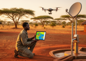
Mapping groundwater potential zones using GIS, remote sensing and analytical hierarchy process (AHP) in Pader and Kitgum Districts, Uganda
A preliminary geospatial study mapped 67.24% of Kitgum District as very low to low groundwater potential and 85.5% of Pader ...

