

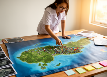
Map Overlays Reveal Which Philippine Villages Face a Double Threat of COVID-19 and Natural Hazards
Researchers in the Philippines used GIS sieve mapping to rank 46 barangays in Lemery, Batangas by combined COVID-19 case counts ...
Researchers in the Philippines used GIS sieve mapping to rank 46 barangays in Lemery, Batangas by combined COVID-19 case counts ...

Researchers have combined multi-taxa biodiversity surveys, GIS-based hotspot mapping, and multi-criteria decision analysis to delineate no-desilt zones and build a ...
Researchers have mapped more than 3,100 farm fields across the southeastern United States where federal conservation enrollment could most effectively ...

Embark on a thrilling journey of discovery with Scienmag.com—your ultimate source for cutting-edge breakthroughs. Immerse yourself in a world where curiosity knows no limits and tomorrow’s possibilities become today’s reality!