

GIS and Google Earth Engine map Zimbabwe’s groundwater potential nationwide
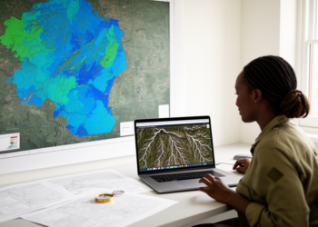
A GIS and Google Earth Engine framework classified Zimbabwe's groundwater potential nationwide and tested it against nearly 10,000 borehole records.
A GIS and Google Earth Engine framework classified Zimbabwe's groundwater potential nationwide and tested it against nearly 10,000 borehole records.


Embark on a thrilling journey of discovery with Scienmag.com—your ultimate source for cutting-edge breakthroughs. Immerse yourself in a world where curiosity knows no limits and tomorrow’s possibilities become today’s reality!