

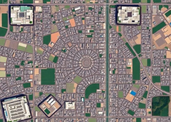
How Far From the City Center? Satellite Rings Reveal Lucknow’s Hidden Land Deficit
A satellite-based analysis of Lucknow, India reveals residential land shortfalls of up to 41.68 percent across concentric zones around the ...
A satellite-based analysis of Lucknow, India reveals residential land shortfalls of up to 41.68 percent across concentric zones around the ...
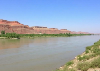
A new spatial analysis of Iran's Zayandeh Rud River shows that unplanned tourism development has driven land-use conversion, tree loss, ...
A two-decade Landsat analysis using image-specific NDVI thresholding reveals a net loss of 275 square kilometres of mapped vegetation in ...

A national registry analysis of more than 18,000 Iranian cases shows Hodgkin and non-Hodgkin lymphoma incidence rising between 2014 and ...
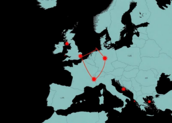
A population-based study of more than ten million Lombardy residents has mapped the full 2020–2022 COVID-19 epidemic, confirming age, neurologic ...
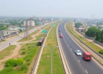
A new study of India's NH-48 corridor shows that large-scale industries cluster tightly within three kilometres of the highway while ...
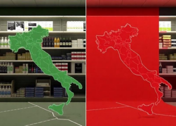
A new spatial-statistical study of Milan and Taranto shows that pharmacy access and socio-economic deprivation are linked in sharply different ...
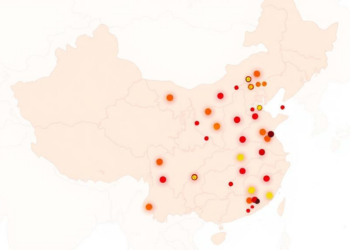
A national spatial analysis of CHARLS data shows traditional Chinese medicine use is rising among middle-aged and elderly chronic disease ...

A new study of the Baspa Basin in the Indian Himalaya quantifies nearly three decades of continuous glacier mass loss ...
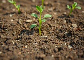
A new study of soils around four industrial estates in Neyshabur, Iran, finds nickel levels exceeding safety guidelines and a ...


Embark on a thrilling journey of discovery with Scienmag.com—your ultimate source for cutting-edge breakthroughs. Immerse yourself in a world where curiosity knows no limits and tomorrow’s possibilities become today’s reality!