

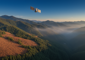
Satellites and Machine Learning Sharpen Fire Risk Maps in Mountainous China
A new study in Shanxi Province shows that combining satellite soil moisture, ERA5-Land reanalysis data, and XGBoost machine learning improves ...
A new study in Shanxi Province shows that combining satellite soil moisture, ERA5-Land reanalysis data, and XGBoost machine learning improves ...

A new study couples the PLUS, InVEST and GeoDetector models to map and explain spatio-temporal changes in carbon storage across ...

Embark on a thrilling journey of discovery with Scienmag.com—your ultimate source for cutting-edge breakthroughs. Immerse yourself in a world where curiosity knows no limits and tomorrow’s possibilities become today’s reality!