

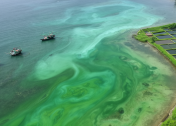
Sentinel-2 unlocks five-year map of chlorophyll-a in tropical Pekalongan waters
A locally calibrated Sentinel-2 algorithm tracked five years of chlorophyll-a variability in Indonesia's Pekalongan coastal waters, revealing estuarine hotspots and ...
A locally calibrated Sentinel-2 algorithm tracked five years of chlorophyll-a variability in Indonesia's Pekalongan coastal waters, revealing estuarine hotspots and ...
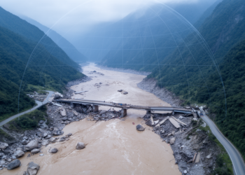
A Sentinel-2 and Google Earth Engine study of Nepal's 2021 Melamchi debris flood found NDVI outperformed water indices for mapping ...
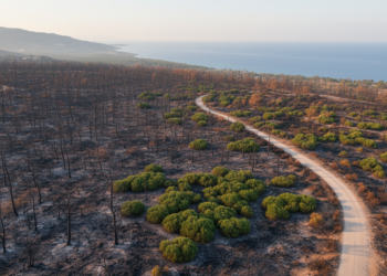
Object-based machine-learning models mapped burned forests from Sentinel-2 imagery, retaining overall accuracies above 83% in transfer tests at selected Mediterranean ...
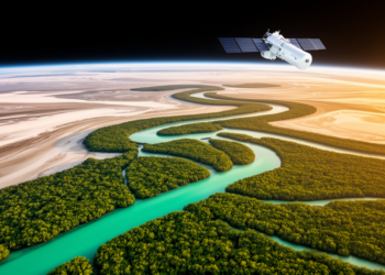
Along the sun-scorched coastlines of Ras Al Khaimah in the United Arab Emirates, one of the most thermally extreme mangrove ...

In a groundbreaking study published in the journal Discov Sustain, researchers have made significant strides in estimating tree aboveground biomass ...

In the ever-evolving landscape of agricultural science, harnessing the power of technology to enhance crop yield and sustainability has become ...

Researchers have introduced a groundbreaking satellite-based methodology designed specifically to monitor the spread of Spartina alterniflora, a notorious invasive species ...


Embark on a thrilling journey of discovery with Scienmag.com—your ultimate source for cutting-edge breakthroughs. Immerse yourself in a world where curiosity knows no limits and tomorrow’s possibilities become today’s reality!