

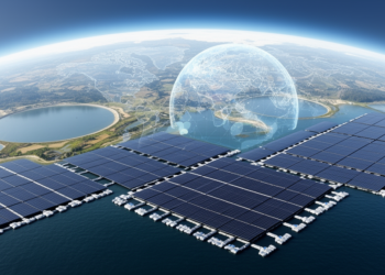
Global model maps aquavoltaics potential for power and emissions offsets
A global model estimates that solar photovoltaic systems covering 40% of clustered freshwater aquaculture ponds could generate 4,143 ± 145 ...
A global model estimates that solar photovoltaic systems covering 40% of clustered freshwater aquaculture ponds could generate 4,143 ± 145 ...
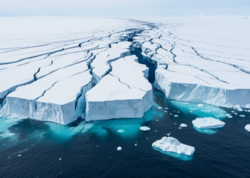
Satellite observations spanning 1973–2026 show that West Antarctica’s northern Pine Island Ice Shelf has retreated, thinned, lost pinning points and ...
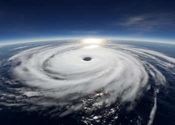
A reanalysis-and-satellite case study of Cyclone Mocha found stronger shortwave cooling than longwave heating over the Bay of Bengal as ...
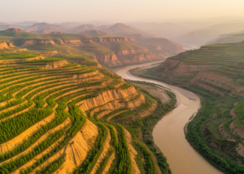
A regional satellite-observation study links Grain for Green implementation on the Loess Plateau with 53.2% forest-cover growth and 24.4% higher ...
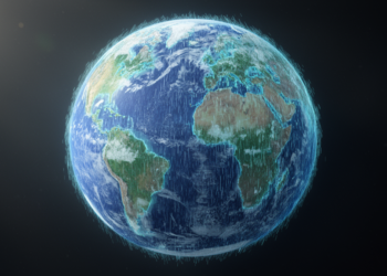
A Chiba University machine-learning model reconstructed missing regions in global satellite rainfall maps with higher accuracy and image quality than ...
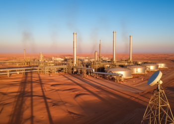
A new satellite-based study finds that Iran's methane super-emitters emit far more than official inventories report, while also revealing limits ...
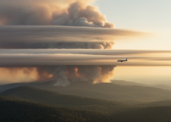
Researchers introduced TRAILS, a framework that combines satellite observations with trajectory modeling to dynamically attribute long-range transported wildfire smoke by ...
Scientists have overhauled how the UK Earth System Model simulates polar stratospheric clouds, bringing simulations of the ozone-destroying clouds closer ...
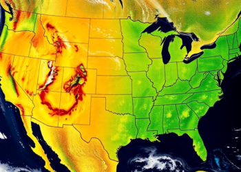
Satellite-based inverse modeling shows US oil and gas methane emission intensity fell about 11 percent from 2019 to 2024, but ...

A new global modelling study quantifies how water vapour UV absorption, heterogeneous chemistry, reaction kinetics and ocean emissions shape tropospheric ...


Embark on a thrilling journey of discovery with Scienmag.com—your ultimate source for cutting-edge breakthroughs. Immerse yourself in a world where curiosity knows no limits and tomorrow’s possibilities become today’s reality!