


Scientists build a learnable vegetation index for deep learning and discover it works best when fixed
A new study turns the classic vegetation index into a trainable neural layer and finds that its fixed, hand-crafted form ...
A new study turns the classic vegetation index into a trainable neural layer and finds that its fixed, hand-crafted form ...
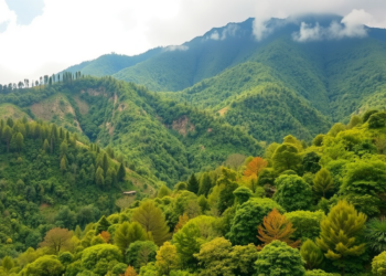
A new study combining satellite imagery, GIS and artificial neural networks maps agroforestry across Uttarakhand, revealing major expansion potential but ...
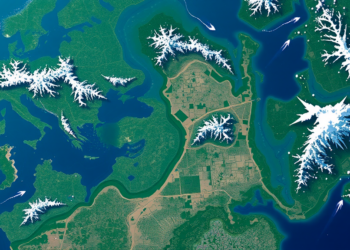
Researchers have developed CADE, a lightweight semi-supervised AI framework that predicts and generates future satellite imagery with high accuracy and ...
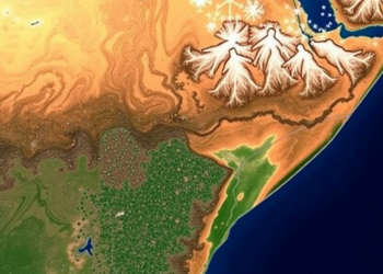
A 22-year satellite and field study of Cameroon's Santchou Wildlife Reserve shows mature forest collapsing under agricultural pressure, reveals which ...
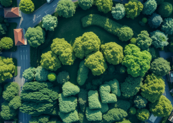
A seven-year satellite and air-monitoring study of two São Paulo metropolitan regions finds that greener vegetation is generally associated with ...
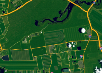
A new mixture-of-experts vision-language model called RSFG-MoE is designed to deliver fine-grained, high-resolution interpretation of remote sensing imagery.
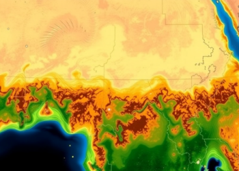
A new satellite-based study fusing six vegetation indicators finds that roughly 30 percent of the Horn of Africa's grasslands are ...

A new random forest model with spatial cross-validation reveals that slope and topographic relief control landslide hazards along the Lhasa–Dingri ...
A comprehensive review shows that artificial intelligence, from hyperspectral sensing and climate-driven forecasting to autonomous drones and ground robots, is ...
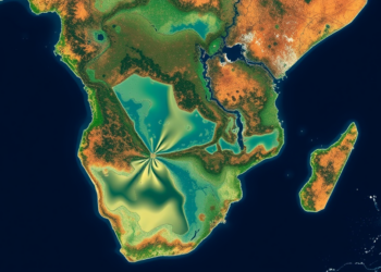
A new 1-kilometer grid-based screening framework links two decades of fine particulate pollution with satellite-derived water quality signals across the ...


Embark on a thrilling journey of discovery with Scienmag.com—your ultimate source for cutting-edge breakthroughs. Immerse yourself in a world where curiosity knows no limits and tomorrow’s possibilities become today’s reality!