


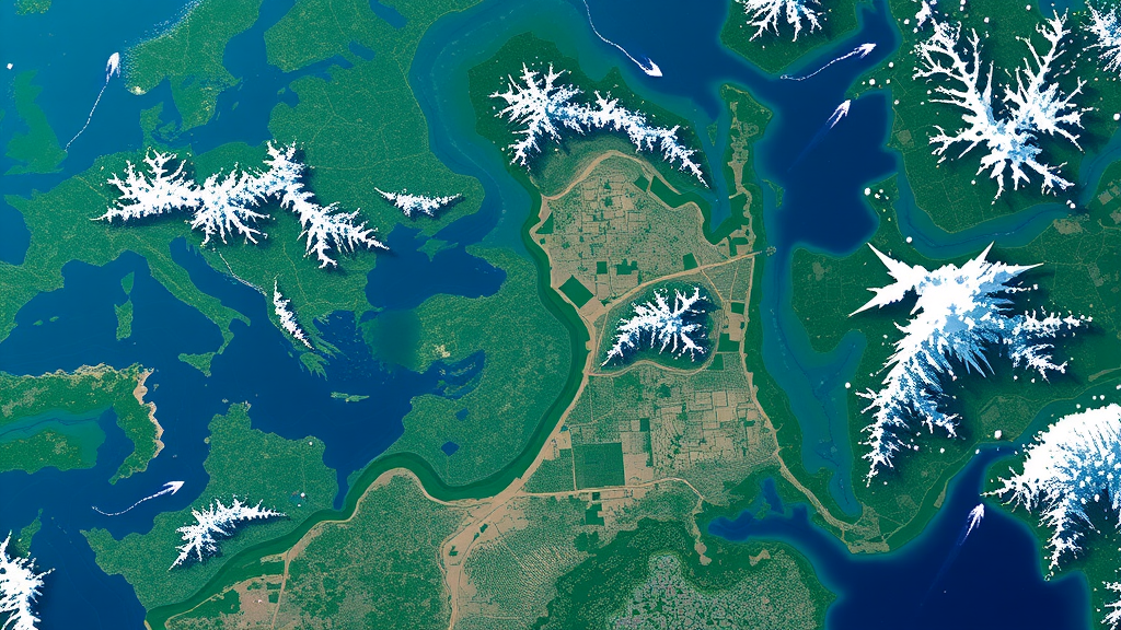
A new artificial intelligence framework can look at a single satellite image of a landscape and generate a plausible picture of what that same area will look like after future changes unfold, from new housing developments to shifting land use. The system, called CADE, short for Change-Adaptive Dual-Path Encoder, was developed by an international team of researchers and described in the journal Neural Computing and Applications. Unlike most remote sensing tools, which only analyze what has already happened, CADE is built to anticipate change before it occurs, and it does so with a fraction of the computing power that comparable deep learning models demand.
The motivation behind the work stems from a fundamental limitation in the field. Change detection has long been a central task in satellite imagery analysis, but it is inherently retrospective: it needs post-event imagery to identify transformations that have already taken place. Disaster preparedness, urban growth management, infrastructure resilience planning, and environmental risk assessment all require something different, namely the ability to visualize potential futures before changes materialize. Earlier techniques, from simple image differencing to arithmetic transformations, were sensitive to atmospheric noise and sensor inconsistencies, while modern deep learning approaches such as Generative Adversarial Networks and diffusion models, though powerful, tend to demand enormous labeled datasets and heavy computational resources.
CADE tackles the problem by reframing future satellite image generation as a change-adaptive reasoning task, in which the stable character of a landscape and the dynamic signals of change are extracted separately and then selectively combined. The architecture consists of two parallel encoding streams. A Static Encoder processes the pre-change image, using hierarchical residual blocks with feature dimensions increasing from 64 to 512 channels, to capture everything from fine textures and building outlines to high-level semantics such as land-use categories. This stream acts as the model’s memory, holding the blueprint of the world before any change. A Dynamic Encoder, meanwhile, receives a four-channel input formed by concatenating the original image with a sparse binary change mask, and uses dilated convolutions to focus on regions where alterations are likely or have been flagged by automatic detectors, auxiliary sensors, or weak human annotations.
Keeping these two pathways separate is a deliberate design choice. In many architectures, static and dynamic information is fused prematurely, which can blur important details or dilute features. CADE instead decouples preservation from modification, allowing each pathway to specialize. The two feature streams are then reconciled by a Cross-Temporal Attention Fusion module, a learnable mechanism inspired by transformer attention. Each spatial location in the static feature map sends a query to every location in the dynamic map, and a scaled dot-product attention matrix determines where to look for complementary or corrective information. Stable regions lean on static features, while change-prone regions shift attention toward dynamic cues, producing a fused representation that respects both long-term structure and short-term transformation.
A four-stage decoder then translates the fused representation into a full-resolution RGB image. Bilinear upsampling doubles the spatial dimensions at each stage, while 3×3 convolutions refine details and reduce aliasing artifacts, and a final 1×1 convolution projects the features into the RGB color space with sigmoid activation ensuring pixel values remain in the normalized range. Because residual learning in the encoding stages preserves high-quality structural features, the decoder can concentrate on refining fine-grained details rather than inventing scenes from scratch.
Perhaps the most practical innovation is the training strategy. The model was trained semi-supervised, meaning only 30 percent of the available change masks were used during training, with the remaining 70 percent withheld to test the model’s predictive and generative capability. A masked reconstruction loss on unchanged regions and a consistency loss on unlabeled data allow the network to learn from both labeled and unlabeled samples. This dramatically reduces dependence on the large annotated datasets that are often unavailable in remote sensing, making the approach well suited to low-resource settings.
The performance figures are striking. On the LEVIR-CD dataset, a large-scale benchmark of very high-resolution building change images captured over periods of five to fourteen years, CADE achieved a Peak Signal-to-Noise Ratio of 30.45 and a Structural Similarity Index of 0.80 for image generation, along with an F1-score of 92.81 percent and an Intersection over Union of 87.72 percent for change detection. These figures surpass leading diffusion and GAN-based models, and exceed attention-based competitors such as GeoFormer, which reached 83.40 percent F1 on the same dataset, and SGSLN, which reached 92.33 percent.
More impressive still is the model’s generalization. On the DSFIN-CD dataset, compiled from Google Earth imagery of six Chinese cities and never seen during training, CADE attained a PSNR of 28.93, an SSIM of 0.76, an F1-score of 91.44 percent, and an IoU of 85.02 percent without any fine-tuning. Many fully supervised models suffer notable performance drops under such out-of-distribution conditions, suggesting that CADE’s learned representations are not tightly coupled to its training data. The generated future images also scored well on perceptual metrics, with a Fréchet Inception Distance of 31.61 and an LPIPS of 0.162 on LEVIR-CD, indicating visually coherent and realistic outputs.
Efficiency is where CADE truly distinguishes itself. The final model contains just 5.93 million parameters and requires 10.89 billion floating point operations per inference, compared with UNet++ at 9.05 million parameters and 34.01 GFLOPs, and BIT at 3.55 million parameters but a hefty 67.80 GFLOPs. An ablation study confirmed that each component matters: moving from a single to a dual encoder reduced error substantially, and replacing naive concatenation with cross-temporal attention fusion produced the lowest losses, particularly when paired with the Adam optimizer.
The researchers see broad applications, from early identification of regions likely to experience structural or environmental change, to simulating urban expansion and forecasting gradual landscape evolution such as deforestation or shoreline variation. Limitations remain, including dependence on the quality of training data and the coarse nature of binary change masks in complex scenes, and the authors suggest future work could integrate multi-modal inputs such as SAR and multispectral data. But the core message is clear: accurate, proactive satellite forecasting no longer requires supercomputers or mountains of labeled data, and that could bring predictive Earth observation within reach of far more organizations working on disasters, cities, and the environment.
Subject of Research: A lightweight semi-supervised dual-path encoder framework for predicting and generating future changes in satellite imagery
Article Title: CADE: A lightweight change-adaptive dual-path encoder framework for predicting and generating future changes in satellite imagery using semi-supervised learning
Article References: Sutradhar, D., Rahman, M. A., Yeo, K. C., Azid, S. I., Jonkman, M., & Azam, S. (2026). CADE: A lightweight change-adaptive dual-path encoder framework for predicting and generating future changes in satellite imagery using semi-supervised learning. Neural Computing and Applications, 38(18), Article 742. https://doi.org/10.1007/s00521-026-12429-w
Image Credits: AI Generated
DOI: 10.1007/s00521-026-12429-w
Keywords: satellite imagery, change detection, semi-supervised learning, deep learning, remote sensing, generative models, attention mechanism, dual-path encoder, image generation, disaster preparedness, urban planning, environmental monitoring
Cite Scienmag News
Denise Maddox. (September 20, 2026). Lightweight AI Predicts Future Satellite Images Using Semi-Supervised Learning. Scienmag. https://scienmag.com/lightweight-ai-predicts-future-satellite-images-using-semi-supervised-learning/
Denise Maddox. "Lightweight AI Predicts Future Satellite Images Using Semi-Supervised Learning." Scienmag, 20 September 2026, https://scienmag.com/lightweight-ai-predicts-future-satellite-images-using-semi-supervised-learning/. Accessed 5 October 2026.
Denise Maddox. "Lightweight AI Predicts Future Satellite Images Using Semi-Supervised Learning." Scienmag. September 20, 2026. https://scienmag.com/lightweight-ai-predicts-future-satellite-images-using-semi-supervised-learning/


