

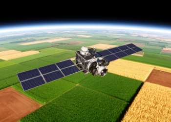
Machine-Discovered Vegetation Index Beats NDVI for Mapping Crops From Space
A systematic search of more than a thousand candidate vegetation indices found that a simple four-band formula outperforms NDVI for ...
A systematic search of more than a thousand candidate vegetation indices found that a simple four-band formula outperforms NDVI for ...
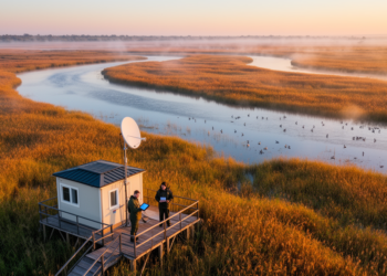
A new study shows that free satellite data from Copernicus, Landsat, and fire-detection services have replaced a century of sparse ...
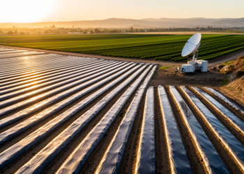
A new spectral classification of Sentinel-2 imagery maps dark and bright plastic mulch across a California agricultural hotspot with 98 ...
Researchers in Spain show that the standard deviation of satellite-derived NDVI, especially during crop senescence, offers a low-cost way to ...
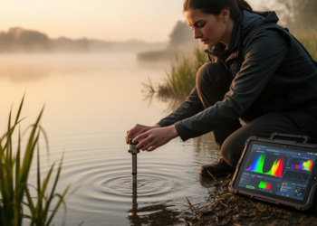
A comprehensive new review maps how machine learning, deep learning, and generative AI are transforming water quality monitoring while exposing ...
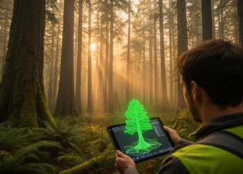
A systematic review of 57 studies defines Digital Twin Forestry as an emerging informatics paradigm that continuously couples multisensor Earth ...
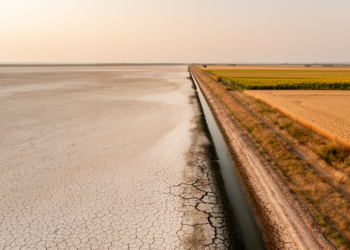
A new satellite-based machine learning study shows that irrigated farmland in Ukraine's Kherson and Zaporizhzhia oblasts has collapsed by about ...
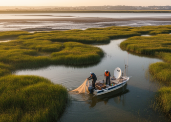
A new study combining satellite imagery and field surveys reveals that non-native fish dominate the wetlands of Portugal's Lower Tagus ...
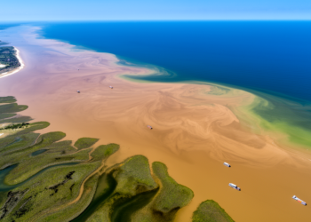
A new review traces how more than a century of synthetic fertilizer use across the Mississippi River Basin drives the ...
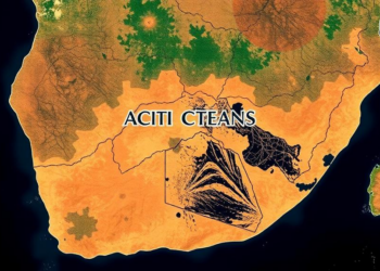
A twenty-year satellite analysis of South Africa's Northern Cape shows 78 percent of urban growth hugging mining corridors while communal ...


Embark on a thrilling journey of discovery with Scienmag.com—your ultimate source for cutting-edge breakthroughs. Immerse yourself in a world where curiosity knows no limits and tomorrow’s possibilities become today’s reality!