

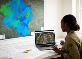
GIS and Google Earth Engine map Zimbabwe’s groundwater potential nationwide
A GIS and Google Earth Engine framework classified Zimbabwe's groundwater potential nationwide and tested it against nearly 10,000 borehole records.
A GIS and Google Earth Engine framework classified Zimbabwe's groundwater potential nationwide and tested it against nearly 10,000 borehole records.
Two large-scale mapping projects used the International Vegetation Classification to produce detailed vegetation and land cover maps for the USA ...

A 26-year satellite analysis of Rajasthan's Hadoti region shows annual drought composites understate monsoon-season stress and that vegetation indices add ...
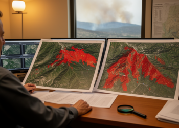
A study of two 2022 South Korean fires found that a previous-year spring baseline gave the most accurate PlanetScope wildfire ...

Measurements in and downwind of Paris show aerosols become more oxidized and optically distinct over two to six hours of ...

A study integrating remote sensing and ornithological surveys at Karataş Lake reveals seasonal shifts in avian diversity linked to climate ...
A new statistical standardization of Sentinel-1 radar time series detects Congo Basin tropical forest loss annually and in near real ...
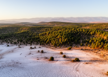
A 29-year satellite analysis of Morocco's Khenifra National Park finds all vegetation classes shrinking, bare soil expanding by 47 percent, ...
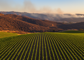
Satellite analysis of the 2019 Kincade Fire found vineyards showed far lower spectral burn response than surrounding wildland, but rigorous ...

A 20-year study of northeastern Iran used satellite-derived vegetation, salinity, and groundwater indicators to identify a 2015 breakpoint and early ...


Embark on a thrilling journey of discovery with Scienmag.com—your ultimate source for cutting-edge breakthroughs. Immerse yourself in a world where curiosity knows no limits and tomorrow’s possibilities become today’s reality!