

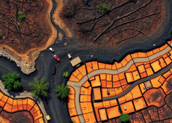
Satellites Can See Burned Forests, but Not the Damage Beneath the Soil
A new evidence map of 72 studies shows that remote sensing reliably tracks surface-expressed forest soil damage from wildfire and ...
A new evidence map of 72 studies shows that remote sensing reliably tracks surface-expressed forest soil damage from wildfire and ...

A new 1-kilometer-resolution map shows permafrost on the Qinghai-Tibet Plateau shrank by 48,000 square kilometers between 2010 and 2020, with ...
Researchers have unveiled a matrix-blinding framework that lets resource-constrained clients outsource heavy hyper-spectral image analysis to untrusted cloud servers while ...
A new open-access satellite radar service is delivering the first operational ground motion maps for Svalbard, revealing how thawing permafrost ...
A new study shows that twenty years of ESA satellite discharge and water level data, assimilated into two contrasting hydrological ...
A new diagnostic framework reveals that in Xinjiang's arid mountains, the strongest snow-temperature interactions can signal stressed, vulnerable snowpacks rather ...
A new grid-based Accumulated-Event Risk Indicator built from a decade of EM-DAT records identifies 14 global disaster hotspots concentrated in ...
A new analysis of 9,740 marine protected area zones across 15 countries finds that vague regulatory language, not technology, is ...
A new LSTM-based dataset called MemoryFlux maps two decades of net ecosystem CO2 exchange across North America with unprecedented fidelity, ...
Researchers in Patagonia have shown that a simple logistic regression model using weather station data and the Southern Annular Mode ...

Embark on a thrilling journey of discovery with Scienmag.com—your ultimate source for cutting-edge breakthroughs. Immerse yourself in a world where curiosity knows no limits and tomorrow’s possibilities become today’s reality!