


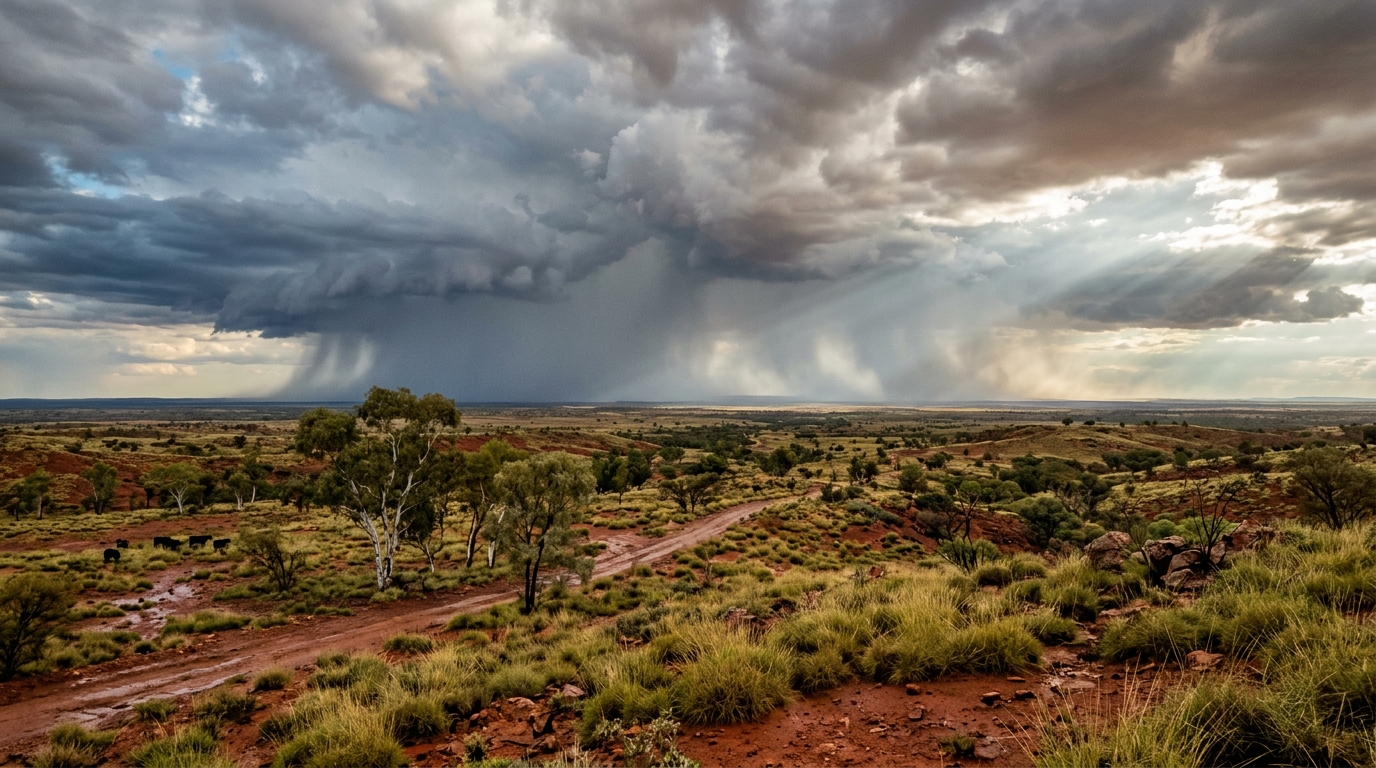
A research team led by scientists from the University of Melbourne and the Australian Bureau of Meteorology has developed and trialled a continental-scale precipitation analysis system that produces hourly rainfall estimates at a two-kilometre grid resolution across Australia. Designated as BRAIN, standing for Blended Rainfall, the framework integrates geostationary satellite observations, national weather radar network outputs, and ground-based rain gauge measurements within an adapted statistical interpolation framework. Reporting in the journal Hydrology and Earth System Sciences, the researchers evaluated the system over a two-year trial period spanning 2022 and 2023, establishing that blending these complementary meteorological observational streams provides improved spatial rainfall structures and precipitation accuracy compared with relying on individual observational platforms or existing operational interpolation schemes.
Accurate characterisation of precipitation fields at fine spatial and sub-daily temporal scales remains a persistent operational challenge across large landmasses due to pronounced variability across scales, observational gaps, and computational constraints. Ground-based rain gauges provide direct physical measurements at specific points but remain relatively sparse across large swathes of the Australian interior, limiting their ability to resolve broader spatial patterns. Weather radars provide high temporal and spatial sampling but covered approximately 72 percent of the Australian land area during the 2022 to 2023 trial period, leaving roughly 28 percent unmonitored, predominantly across remote regions. Satellite products offer continuous continental coverage and frequent scans but infer rainfall indirectly from cloud properties, which introduces systematic retrieval biases. The BRAIN system was designed to leverage the respective advantages of each observational platform while minimising individual sensor limitations across the continent.
To generate the blended hourly fields, the system incorporates three primary operational Bureau of Meteorology datasets. The background field is provided by the Convective Rainfall Rate from Cloud Physical Properties version 2.1 product derived from the Japanese Himawari-8 and Himawari-9 geostationary satellites, which deliver two-kilometre spatial resolution at ten-minute intervals based on Advanced Himawari Imager infrared observations. Weather radar estimates are sourced from the Bureau’s operational Rainfields system, which collects raw radar reflectivity at a one-kilometre resolution every five minutes. Ground truth and calibration data are provided by 2,155 sub-daily automatic weather station and flood warning gauges aggregated to hourly totals, alongside an independent network of 3,659 daily gauges and approximately 2,000 independent hourly gauges collected from third-party water management utilities and local councils.
Prior to merging, the input datasets undergo dedicated pre-processing, quality control, and local dynamic bias correction. The hourly gauge data undergo automated filtering against historical intensity-frequency-duration statistics, annual exceedance probability thresholds, spatial consistency checks within 50 kilometres, and spike tests to eliminate reporting errors. Satellite and radar observations are subjected to local bias correction using an autoregressive Kalman filtering technique adapted to produce continuous spatially varying correction fields via ordinary kriging. For radar data, the authors altered the standard operational Rainfields setup, expanding the gauge-pairing radius from 150 kilometres to 300 kilometres and extending the temporal sampling window from 15 minutes to one hour, designated as R1. This adjustment increased the volume of co-located radar-gauge pairs available to compute local calibration adjustments before aggregating the radar fields to the two-kilometre target grid.
The mathematical architecture underpinning BRAIN adapts classical optimal interpolation theory to handle continental data volumes comprising more than five million grid cells. In standard objective analysis, solving the full linear equation system requires inverting large observation-error covariance matrices, which quickly becomes computationally intractable when hundreds of radar cells fall within an influence radius. To overcome this limitation, the researchers developed an error-informed localisation strategy using a nearest-point approximation. For any given target grid cell, the analysis retains only the single nearest radar grid cell within a 200-kilometre search radius alongside up to the 20 nearest available rain gauges. If multiple radar grid cells share an identical minimum Euclidean distance, the cell exhibiting the lowest error variance is selected. This simplification eliminates radar-to-radar error covariance cross-terms, ensuring that the observation-error correlation matrix reduces to an identity matrix.
Characterising error variances and correlations across gauged and ungauged locations was streamlined by partitioning the Australian continent into three distinct geographic zones: tropical, subtropical, and temperate. Within each zone, analytical error curves were calibrated against gauge observations. The analysis demonstrated that observational error variance increases quadratically with precipitation intensity for both satellite and radar data, with satellite error variances consistently exceeding radar error variances across all intensities, particularly in tropical northern regions. Satellite spatial error correlations decayed exponentially with geographic distance, exhibiting the longest spatial correlation scales in the tropics. Because sub-daily gauge density is highly uneven, gauge error variance was parameterised as observed rainfall intensity plus one, while radar-to-gauge and background-to-observation error cross-correlations were assumed to be negligible based on sensor independence.
A rigorous 20-fold cross-validation across the primary hourly gauge network revealed that the three-source blended product, designated BR-SRG, outperformed single-source inputs and reduced two-source configurations. Within radar coverage zones, BR-SRG achieved markedly higher correlation coefficients and lower root-mean-square errors than the raw satellite product S0 and bias-corrected satellite S1. Compared with the recalibrated radar product R1, BR-SRG demonstrated a smaller absolute mean bias across the cross-validation network. When evaluated against the independent daily gauge dataset and supplementary independent hourly gauges, BR-SRG consistently showed higher correlations, lower root-mean-square error values, and lower absolute mean bias than the radar estimates alone. Rainfall intensity stratification indicated that BR-SRG achieved superior correlation and root-mean-square error over radar during low- and moderate-intensity rainfall, whereas radar maintained higher skill during intense rainfall events.
The evaluation also examined system performance relative to inverse distance weighting interpolation, which is currently used by the Bureau to derive catchment-scale rainfall estimates for hydrological modelling. Within radar coverage, BR-SRG demonstrated substantially higher correlation and lower root-mean-square error than inverse distance weighting across all rainfall intensity categories. Outside radar coverage, BR-SRG maintained higher correlations than gauge interpolation in both hourly and daily validations. Although inverse distance weighting exhibited mean bias values near zero, analysis of station-level error distributions indicated that this near-zero bias was driven by an even cancellation of large positive and negative errors rather than high local accuracy, as evidenced by its high mean absolute errors. When accumulated from hourly to daily totals, these opposing errors smoothed out, improving the relative performance of inverse distance weighting at the daily timescale.
Assessing the blended analysis across varying station densities showed that station availability directly impacted performance magnitude without altering the relative superiority of the algorithms. When stations within radar coverage were partitioned into lower and upper quartiles based on surrounding gauge density within a 200-kilometre radius, BR-SRG retained the highest correlation and lowest root-mean-square error in both low-density and high-density environments. The benefit of higher gauge density was most pronounced in correlation improvements across all gauge-dependent estimation methods. Gauge-only inverse distance weighting proved especially sensitive to network sparsity, showing erratic and degraded correlations in gauge-sparse areas while achieving stable correlations under dense conditions, confirming that satellite and radar inputs provide essential stability where physical ground sensors are sparse.
The practical utility of the framework was illustrated through two significant tropical storm case studies: Cyclone Ellie in December 2022 and Cyclone Jasper in December 2023. During Cyclone Ellie, extreme rainfall was recorded over northern Australia, but the core precipitation maximum fell over a region with very few hourly recording stations, where only a single hourly gauge logged 24-hour accumulation exceeding 100 millimetres. While the operational daily Australian Gridded Climate Data product captured the heavy rainfall centre by leveraging denser daily manual gauges, BR-SRG combined satellite background estimates to partially compensate for radar underestimation. During Cyclone Jasper, several hourly gauges were positioned directly beneath the heavy precipitation core, recording 24-hour totals reaching up to 479.2 millimetres. The integration of high-resolution radar, satellite coverage, and direct gauge measurements allowed BR-SRG to resolve complex spatial intensity structures that were smoothed out by gauge-only interpolation schemes.
The authors identified several ongoing limitations and operational considerations within the initial implementation. Residual errors not eliminated during automated gauge quality control or satellite and radar bias correction can propagate into the final blended field, as the statistical interpolation weighting rarely assigns complete weight to a single source. Furthermore, while the nearest-point approximation allows radar data to influence target grid cells up to 200 kilometres away and smooths transitions across radar coverage boundaries, visible spatial gradients can occasionally arise when significant discrepancies exist between satellite background retrievals and radar observations. Point-to-area representativeness mismatches between isolated gauge tips and two-kilometre grid cells also introduce unmodelled variance during extreme localised convective storms.
Future planned enhancements under the Bureau’s Next Generation Rainfall Project include incorporating additional operational data feeds, such as the Integrated Multi-satellite Retrievals for Global Precipitation Measurement product, numerical weather prediction model fields, and daily gauge accumulations. The researchers noted that incorporating additional satellite streams may require re-evaluating the assumption of error independence due to shared retrieval algorithms. The BRAIN system is currently undergoing pre-production testing within the Bureau of Meteorology’s computing infrastructure to prepare for near-real-time operational deployment and historical climate reanalysis, providing a scalable model for continental high-resolution precipitation blending.
Subject of Research: Continental-scale hourly precipitation blending analysis using multi-source meteorological observations
Article Title: Design and trial implementation of a continental-scale, kilometre-resolution hourly precipitation analysis for Australia using satellite, radar and gauges
Article References: Zhang, Y., Wang, Q. J., Frost, A. J., Pudashine, J., Trewin, B., Velasco-Forero, C., Su, C.-H., & Villani, V. (2026). Design and trial implementation of a continental-scale, kilometre-resolution hourly precipitation analysis for Australia using satellite, radar and gauges. Hydrology and Earth System Sciences, 30(21), 6701-6730. https://doi.org/10.5194/hess-30-6701-2026
Image Credits: AI Generated
DOI: 10.5194/hess-30-6701-2026
Keywords: meteorology, precipitation analysis, statistical interpolation, weather radar, satellite hydrology, remote sensing, Himawari satellite, rainfall monitoring, Australian hydrology, flood forecasting, Design, trial
Cite Scienmag News
Violet Maxwell. (November 8, 2026). Scientists Develop Continental Hourly Rainfall Mapping System for Australia Using Blended Data. Scienmag. https://scienmag.com/scientists-develop-continental-hourly-rainfall-mapping-system-for-australia-using-blended-data/
Violet Maxwell. "Scientists Develop Continental Hourly Rainfall Mapping System for Australia Using Blended Data." Scienmag, 8 November 2026, https://scienmag.com/scientists-develop-continental-hourly-rainfall-mapping-system-for-australia-using-blended-data/. Accessed 8 November 2026.
Violet Maxwell. "Scientists Develop Continental Hourly Rainfall Mapping System for Australia Using Blended Data." Scienmag. November 8, 2026. https://scienmag.com/scientists-develop-continental-hourly-rainfall-mapping-system-for-australia-using-blended-data/




