

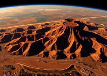
Satellites Reveal How Gold Mining Left a Legacy of Injustice Near Johannesburg
A three-decade satellite analysis of South Africa's Witwatersrand mining belt shows that land changes are statistically systematic, clustered in historically ...
A three-decade satellite analysis of South Africa's Witwatersrand mining belt shows that land changes are statistically systematic, clustered in historically ...

Researchers in India have published a detailed mathematical blueprint for a spatio-temporal graph foundation model designed to learn continuously from ...
Using random forest classification of Landsat imagery and a TensorFlow 1D-convolutional neural network, researchers reconstructed 30 years of land cover ...
Researchers at Lamar University have built an automated Python-based pipeline for comparing airborne LiDAR surveys from 2006 and 2017, cutting ...
A new PLOS Water review maps the current state of Australian flash drought research, identifying critical gaps and the role ...
A satellite and GPS tracking study of a Gir cattle migration corridor in central India finds that dry, hot forage, ...
A four-decade satellite analysis of Brazil's Cananéia-Iguape mangroves shows regional warming of about 0.20 degrees Celsius per decade and reveals ...
A new German-language handbook argues that maps, photographs and AI-generated images actively create geographical knowledge rather than merely depicting reality, ...
A new PLOS Water study combines Sentinel-2 satellite data, OpenET evapotranspiration estimates, and unsupervised machine learning to reveal 13 distinct ...
High-resolution drone surveys at Sweden's Stordalen mire show permafrost thaw accelerating roughly tenfold since 2019, exposing thousands of kilograms of ...

Embark on a thrilling journey of discovery with Scienmag.com—your ultimate source for cutting-edge breakthroughs. Immerse yourself in a world where curiosity knows no limits and tomorrow’s possibilities become today’s reality!