

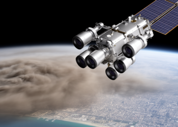
NASA’s Multi-Angle Camera Now Maps Air Pollution Particle by Particle at Unprecedented Detail
Scientists have automated NASA's multi-angle MISR research aerosol retrieval into the MRPA, delivering validated 1.1 km global maps of aerosol ...
Scientists have automated NASA's multi-angle MISR research aerosol retrieval into the MRPA, delivering validated 1.1 km global maps of aerosol ...

A dual-database bibliometric study maps fifteen years of deep learning research in secure imaging and video surveillance, revealing growing emphasis ...
The distinction between deep water and shallow water classes in the Bahr Al-Najaf classification scheme reflects a challenge familiar to ...
A 35-year satellite analysis of Wudil, Nigeria, links a 1.8 °C temperature rise, a 15 percent rainfall decline, and a ...
Researchers established 57 permanent plots and used deep learning on high-resolution imagery to classify and map 23 land cover types ...
A systematic search of more than a thousand candidate vegetation indices found that a simple four-band formula outperforms NDVI for ...
A new study shows that free satellite data from Copernicus, Landsat, and fire-detection services have replaced a century of sparse ...
A new spectral classification of Sentinel-2 imagery maps dark and bright plastic mulch across a California agricultural hotspot with 98 ...
Researchers in Spain show that the standard deviation of satellite-derived NDVI, especially during crop senescence, offers a low-cost way to ...
A comprehensive new review maps how machine learning, deep learning, and generative AI are transforming water quality monitoring while exposing ...

Embark on a thrilling journey of discovery with Scienmag.com—your ultimate source for cutting-edge breakthroughs. Immerse yourself in a world where curiosity knows no limits and tomorrow’s possibilities become today’s reality!