


High-Resolution Satellite Data Outperforms Coarse Maps for Rangeland Fire Planning
High-resolution satellite imagery significantly outperforms coarse maps for planning and assessing prescribed fires in sagebrush rangelands, according to a new ...
High-resolution satellite imagery significantly outperforms coarse maps for planning and assessing prescribed fires in sagebrush rangelands, according to a new ...

Researchers combining airborne and terrestrial laser scanning with ecological accumulation models achieved unbiased broad-scale estimates of downed woody debris in ...

A University of Idaho qualitative study reveals that private forest owners and contractors in northern Idaho overwhelmingly favor pile burning ...
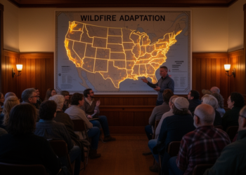
An analysis of press releases, news, and social media from September 2022 to February 2024 finds prescribed fire dominates western ...

A participatory case study with the Southern Ute Indian Tribe and San Juan National Forest identified 31 barriers and 28 ...

A new report sets out a 2026–2030 science strategy for FireSat, a satellite constellation designed to detect small, cool, and ...


Embark on a thrilling journey of discovery with Scienmag.com—your ultimate source for cutting-edge breakthroughs. Immerse yourself in a world where curiosity knows no limits and tomorrow’s possibilities become today’s reality!