


Global Flood Mapper Upgrade Adds Radar Depth Estimation and Cloud Exposure Analytics
Researchers have updated the browser-based Global Flood Mapper platform to combine interactive Sentinel-1 radar processing with automated flood depth modeling ...
Researchers have updated the browser-based Global Flood Mapper platform to combine interactive Sentinel-1 radar processing with automated flood depth modeling ...

A mesoscale biometeorological study reveals that urban trees provide far greater cooling efficiency than grass across Wuhan by mitigating solar ...

A literature review reveals that demand-side interventions and agricultural ammonia regulation offer vital, cost-effective pathways for mitigating air pollution and ...

A long-term study revealed that aerosol optical depth in China's Chengdu Plain decreased by 42.1 percent during 2015 to 2020 ...

A climate modeling study projects that anthropogenic warming will divert atmospheric rivers toward densely populated Asian regions, raising extreme precipitation ...

A global study finds that fire energy is the dominant driver of disaster impacts, with 66% of disaster-linked fires ranking ...
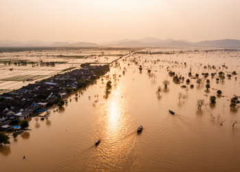
A remote sensing study of five floods between 2000 and 2020 finds that inundation expansion, not population redistribution, drove rising ...

A global machine-learning study of over 10,000 urban centres finds average built-up height is the strongest predictor of urban greenness, ...
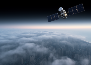
A deep learning framework combining satellite, meteorological and PM2.5 data classifies and quantifies fog, fog-haze, haze and sea fog over ...

A 45-year global analysis shows recorded earthquake disasters and economic losses have increased since 1980, while deaths relative to population ...


Embark on a thrilling journey of discovery with Scienmag.com—your ultimate source for cutting-edge breakthroughs. Immerse yourself in a world where curiosity knows no limits and tomorrow’s possibilities become today’s reality!