


Vineyard Area Grew 38.7 Percent in Northern Zagros Between 2016 and 2025
A remote sensing study found that grapevine vineyards in Iran's Sardasht County expanded by 38.7 percent between 2016 and 2025, ...
A remote sensing study found that grapevine vineyards in Iran's Sardasht County expanded by 38.7 percent between 2016 and 2025, ...

Researchers integrated drone photogrammetry and multitemporal satellite data to quantify mangrove above-ground carbon stocks and track eight years of land-use ...

Researchers using daily PlanetScope satellite imagery and multi-epoch drone surveys have documented a rare surge-detachment sequence at Dehdal Glacier in ...
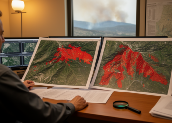
A study of two 2022 South Korean fires found that a previous-year spring baseline gave the most accurate PlanetScope wildfire ...

A new harmonization-based super-resolution workflow shows that cross-sensor radiometric calibration, not network architecture, is the largest contributor to sharpening free ...
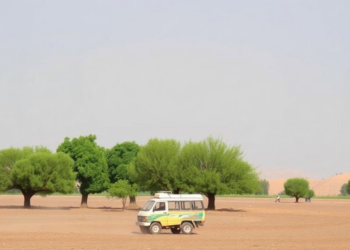
High-resolution satellite imagery reveals that tree cover on farmland in four districts of eastern Afghanistan expanded by about 36 percent ...
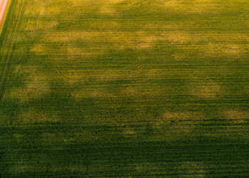
Researchers in Spain show that the standard deviation of satellite-derived NDVI, especially during crop senescence, offers a low-cost way to ...
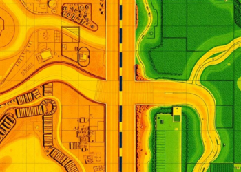
A deep learning analysis of Planet satellite imagery has classified the surface type and width of 9.2 million kilometers of ...
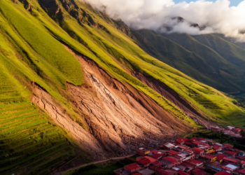
Researchers reconstructed ten years of motion at a giant slow-moving landslide in northwest Argentina and showed how seasonal illumination biases ...
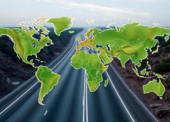
Researchers at Heidelberg University and HeiGIT used artificial intelligence and PlanetScope satellite imagery to create an open-access dataset classifying more ...


Embark on a thrilling journey of discovery with Scienmag.com—your ultimate source for cutting-edge breakthroughs. Immerse yourself in a world where curiosity knows no limits and tomorrow’s possibilities become today’s reality!