

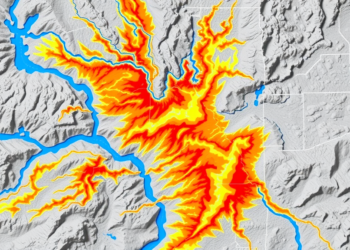
Radar and Terrain Data Reveal Which Watersheds Are Primed for Deadly Flash Floods
Researchers in Colombia combined terrain analysis and high-resolution radar rainfall data to build a validated statistical framework that identifies watersheds ...
Researchers in Colombia combined terrain analysis and high-resolution radar rainfall data to build a validated statistical framework that identifies watersheds ...

Researchers in China have developed a spatial framework that combines terrain-based environmental resistance modeling with socio-technical indicators to assess road ...

A new random forest model with spatial cross-validation reveals that slope and topographic relief control landslide hazards along the Lhasa–Dingri ...
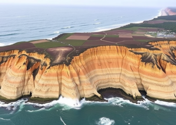
New modelling of the 1945 Makran tsunami shows that coastal cliffs and a continuous seafloor shelf rim reflected and amplified ...
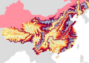
A new integrated risk-resilience framework reveals that more than a third of China's Yangtze River Delta faces high flood danger ...
New numerical simulations combining 500 years of historical records and twelve fault rupture scenarios show that the low-lying islands of ...


Embark on a thrilling journey of discovery with Scienmag.com—your ultimate source for cutting-edge breakthroughs. Immerse yourself in a world where curiosity knows no limits and tomorrow’s possibilities become today’s reality!