

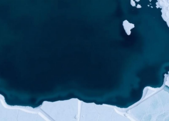
Shirase Glacier’s 2017 Calving Linked to Warm Ocean and Thin Sea Ice
A decade of Landsat-8 observations reveals that Shirase Glacier's major 2017 calving event coincided with low sea ice, warm sea ...
A decade of Landsat-8 observations reveals that Shirase Glacier's major 2017 calving event coincided with low sea ice, warm sea ...
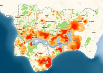
A GIS and analytical hierarchy process study of Ilorin, Nigeria, has mapped flood susceptibility across the entire metropolis and found ...
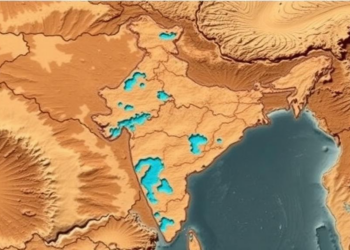
Researchers combined satellite imagery, GIS mapping and the Analytical Hierarchy Process to produce the first groundwater potential map of Mahoba ...
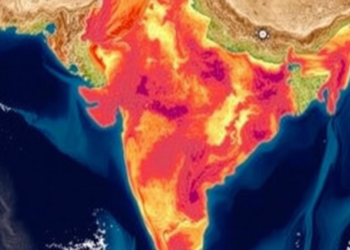
A district-level analysis of 471 Indian districts using satellite-derived MNDWI and NDVI indices shows that temperature anomalies significantly reduce both ...

Researchers in Catania have developed a protocol that identifies tiny sealed urban voids and shows through microclimate simulation that converting ...
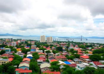
Satellite records show Port-au-Prince's built-up area more than quadrupled between 2015 and 2025, converting the vegetated slopes that regulate runoff ...
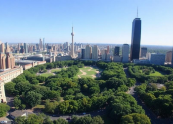
A satellite analysis of 456 green patches in Lucknow, India, shows that urban cooling rises with patch size up to ...
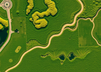
Researchers in India have developed a single satellite-based index, GEMI, that simultaneously predicts nine grassland ecosystem services, outperforming traditional vegetation ...
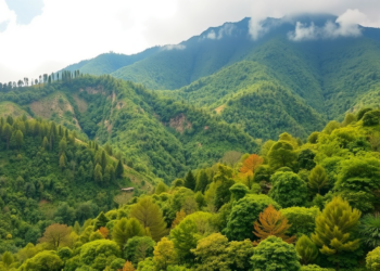
A new study combining satellite imagery, GIS and artificial neural networks maps agroforestry across Uttarakhand, revealing major expansion potential but ...

A detailed field and satellite study of Assam's Kohora River shows the Kaziranga tributary deepens and speeds up downstream rather ...


Embark on a thrilling journey of discovery with Scienmag.com—your ultimate source for cutting-edge breakthroughs. Immerse yourself in a world where curiosity knows no limits and tomorrow’s possibilities become today’s reality!