

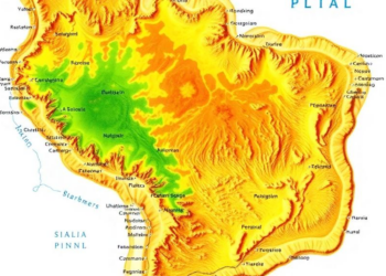
Machine Learning Map of Brazil’s Caatinga Reaches New Accuracy by Reading Terrain and Climate
Researchers combined terrain, climate, and location data with a random forest algorithm on Google Earth Engine to map the Caatinga ...
Researchers combined terrain, climate, and location data with a random forest algorithm on Google Earth Engine to map the Caatinga ...

A new study shows that initializing a weather model with assimilated soil moisture and satellite-derived Indian land cover data significantly ...
A distributed water balance model of Patna's alluvial aquifer shows cropland recharges groundwater far more efficiently than forests, with annual ...
A 24-year satellite and machine learning study shows Bharatpur's heat island is expanding across the city rather than intensifying at ...
A comparative review finds that decades of built-up expansion have driven rising land surface temperatures in India's World Heritage Cities ...
A 22-year Landsat analysis shows Jammu City's built-up area grew 75 percent while farmland and dense vegetation steadily vanished.

Embark on a thrilling journey of discovery with Scienmag.com—your ultimate source for cutting-edge breakthroughs. Immerse yourself in a world where curiosity knows no limits and tomorrow’s possibilities become today’s reality!