

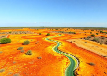
Python-Powered LiDAR Workflow Spots Sinking Ground Along Texas Oil Pipelines
Researchers at Lamar University have built an automated Python-based pipeline for comparing airborne LiDAR surveys from 2006 and 2017, cutting ...
Researchers at Lamar University have built an automated Python-based pipeline for comparing airborne LiDAR surveys from 2006 and 2017, cutting ...

Satellite radar, high-resolution terrain models, and field dating reveal that the northern boundary of Ecuador's Quito-Latacunga microblock is a 70-kilometer-wide ...

A new comparison of two satellite radar datasets along the central U.S. Gulf Coast reveals they barely agree outside dense ...

A new open-access satellite radar service is delivering the first operational ground motion maps for Svalbard, revealing how thawing permafrost ...

A new comment paper argues that a critique declaring satellite radar unreliable for measuring slow coastal subsidence was undermined by ...

A new study of Taiyuan City, China, combines satellite radar interferometry with groundwater data to define safe pumping thresholds that ...
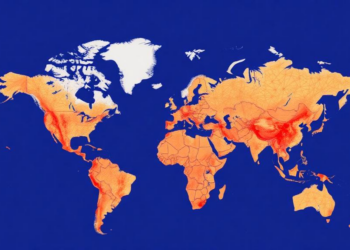
A bibliometric analysis of 2,854 publications from 1990 to 2024 traces earthquake monitoring's evolution through three technological eras and identifies ...

A new burst-level parallel processing framework lets standard personal computers run wide-area Sentinel-1 time-series InSAR, revealing coal-mining-induced subsidence across Jining ...
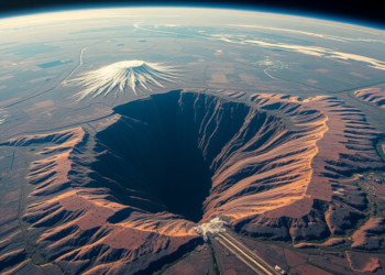
A decade of Sentinel-1 radar and GPS data reveals that parts of Kenya's Nakuru County are sinking at nearly 29 ...
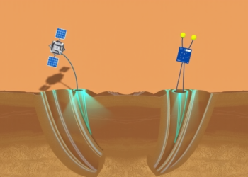
By combining satellite radar, terrestrial water storage data, and borehole fiber optic sensors, researchers have built a framework that links ...


Embark on a thrilling journey of discovery with Scienmag.com—your ultimate source for cutting-edge breakthroughs. Immerse yourself in a world where curiosity knows no limits and tomorrow’s possibilities become today’s reality!