

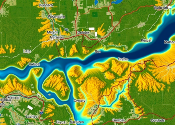
Satellite Study Reveals Hidden Thresholds Where Human Activity Reshapes River Basin Health
A 22-year satellite analysis of China's Luo River Basin shows land use intensity is the dominant driver of ecological quality ...
A 22-year satellite analysis of China's Luo River Basin shows land use intensity is the dominant driver of ecological quality ...
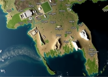
Satellite radar analysis shows the August 2024 flash floods in Bangladesh's Cumilla, Feni, and Noakhali districts inundated over 2,500 square ...

Researchers trained machine learning models on satellite oceanographic data to accurately predict microplastic abundance across the Indian Ocean.

A seven-year satellite and air-monitoring study of two São Paulo metropolitan regions finds that greener vegetation is generally associated with ...
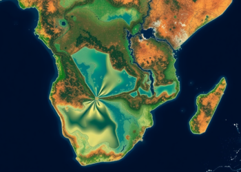
A new 1-kilometer grid-based screening framework links two decades of fine particulate pollution with satellite-derived water quality signals across the ...
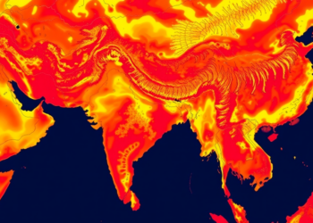
A 24-year satellite and machine learning study shows Bharatpur's heat island is expanding across the city rather than intensifying at ...

A three-decade satellite analysis of Kakinada, India, shows industrial-driven urban sprawl expanding into low-lying delta zones that future sea-level rise ...

In a groundbreaking study, researchers Ahmad, Alam, and Ahmad have explored the intricate dynamics of urban land use and land ...

In a groundbreaking study, researchers have utilized Google Earth Engine to assess long-term vegetation changes and their correlation with pollution ...


Embark on a thrilling journey of discovery with Scienmag.com—your ultimate source for cutting-edge breakthroughs. Immerse yourself in a world where curiosity knows no limits and tomorrow’s possibilities become today’s reality!