

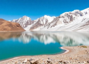
Himalayan Glacial Lakes Triple in Number as Warming Reshapes the Upper Indus Basin
An automated satellite analysis using Google Earth Engine reveals that glacial lakes in the Upper Indus Sub-Basin tripled from 255 ...
An automated satellite analysis using Google Earth Engine reveals that glacial lakes in the Upper Indus Sub-Basin tripled from 255 ...
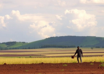
A new satellite-based modeling study shows that widespread soil and water conservation could nearly halve severe soil loss in Ethiopia's ...
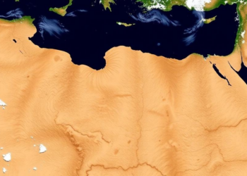
A 21-year satellite analysis of northwestern Algeria shows significant drying across all rainfall timescales since 2015, with vegetation health declining ...
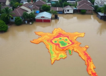
A new study of Bangladesh's 2024 Feni flash flood shows that standard flood-susceptibility machine learning inflates accuracy through spatial leakage ...
A new automated remote sensing framework reveals that ecological quality in Qinghai Province improved nonlinearly from 2000 to 2024, with ...
A two-decade Landsat analysis using image-specific NDVI thresholding reveals a net loss of 275 square kilometres of mapped vegetation in ...
A 25-year satellite and machine learning reconstruction of Ethiopia's Gefersa Reservoir shows that dry season algal growth and organic matter ...
A seventeen-year satellite analysis of four restoration sites in southern Mozambique shows modest mangrove gains in Limpopo, Belavista and Tembe ...
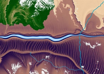
A thirty-year satellite and bathymetric analysis shows Bangladesh's Jamuna River eroded about 55,436 hectares while accreting 53,496 hectares, migrating eastward ...
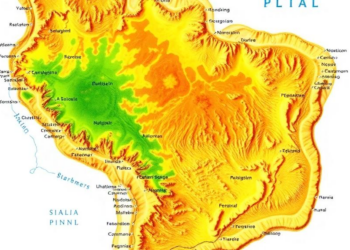
Researchers combined terrain, climate, and location data with a random forest algorithm on Google Earth Engine to map the Caatinga ...


Embark on a thrilling journey of discovery with Scienmag.com—your ultimate source for cutting-edge breakthroughs. Immerse yourself in a world where curiosity knows no limits and tomorrow’s possibilities become today’s reality!