

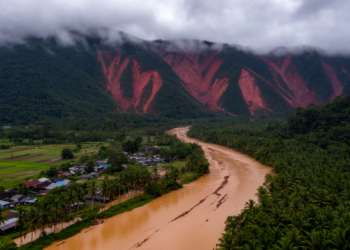
Floods and landslides mapped together in one Malaysian catchment risk picture
A new GIS-based study of Malaysia's Langat Catchment combines flood and landslide susceptibility into a single multi-hazard map, classifying 30.9 ...
A new GIS-based study of Malaysia's Langat Catchment combines flood and landslide susceptibility into a single multi-hazard map, classifying 30.9 ...


Embark on a thrilling journey of discovery with Scienmag.com—your ultimate source for cutting-edge breakthroughs. Immerse yourself in a world where curiosity knows no limits and tomorrow’s possibilities become today’s reality!