

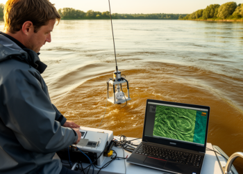
New Open-Source Tool Maps River Sand Dunes Across Thousands of Sonar Surveys
Bedform Finder, a new open-source MATLAB application, automates the identification and measurement of river sand dunes across large multibeam bathymetric ...
Bedform Finder, a new open-source MATLAB application, automates the identification and measurement of river sand dunes across large multibeam bathymetric ...
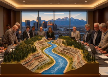
At GSA Connects 2026 in Denver, geoscientists are exploring how floods, drought, and human modification are transforming rivers and the ...
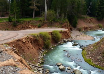
Floodplain sediments of Germany's Kinzig River reveal that mining-driven deforestation and contamination shifted the river from natural to human control ...
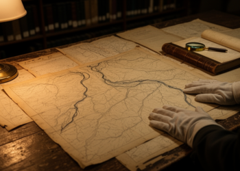
Researchers used early nineteenth-century military maps to reconstruct how barriers, channel straightening, and intensifying floodplain land use drove the decline ...
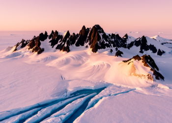
Analysis of river-like valley profiles preserved beneath the East Antarctic Ice Sheet shows the Gamburtsev Subglacial Mountains were carved by ...
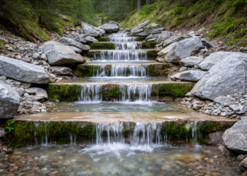
A new analysis of 131 step-pool sequences shows that spacing in steep mountain streams spans a continuum between regular and ...
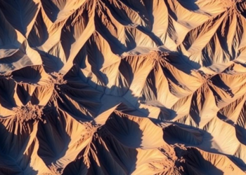
A machine learning analysis of 30,397 geomorphology papers published between 1975 and 2025 reveals that fluvial research and modeling dominate ...
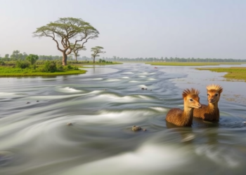
A detailed field and satellite study of Assam's Kohora River shows the Kaziranga tributary deepens and speeds up downstream rather ...


Embark on a thrilling journey of discovery with Scienmag.com—your ultimate source for cutting-edge breakthroughs. Immerse yourself in a world where curiosity knows no limits and tomorrow’s possibilities become today’s reality!