

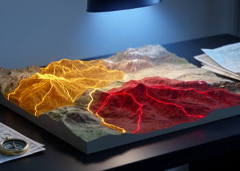
GIS and AHP Map Earthquake Risk in Eastern Anatolia
Researchers combined GIS and the Analytic Hierarchy Process to map earthquake risk in Turkey's Çemişgezek District, finding that danger concentrates ...
Researchers combined GIS and the Analytic Hierarchy Process to map earthquake risk in Turkey's Çemişgezek District, finding that danger concentrates ...

A new comparative study combining probabilistic seismic hazard analysis and AHP-based susceptibility mapping identifies Barkal in Rangamati and a band ...
A new building-by-building earthquake risk model for Zagreb predicts losses of up to 14.6 billion euros and marks a major ...

Embark on a thrilling journey of discovery with Scienmag.com—your ultimate source for cutting-edge breakthroughs. Immerse yourself in a world where curiosity knows no limits and tomorrow’s possibilities become today’s reality!