

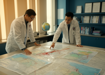
Disasters Collide: Scientists Map a New Path Beyond the Sendai Framework
A sweeping synthesis of a 280-strong Amsterdam conference argues that cascading disasters, AI tools, and fragmented governance must be tackled ...
A sweeping synthesis of a 280-strong Amsterdam conference argues that cascading disasters, AI tools, and fragmented governance must be tackled ...

A new 108-million-pixel hyperspectral benchmark called HyBEAR provides expert-verified, parcel-level bare soil labels and a standardized validation protocol to accelerate ...
A new study links satellite-derived vegetation and soil moisture anomalies with farmer surveys across four Nigerian states, showing that these ...
A new cloud-native machine-learning framework called SIAVASH emulates global flood-hazard data to map design-event flood depth and screen infrastructure weak ...
Researchers at KAIST have developed a two-stage optimization framework that embeds launcher-dependent deployment constraints directly into satellite constellation pattern design, ...
Researchers at Yonsei University have designed an inclined orbit that uses ground track intersection points to cut satellite target revisit ...
ESA's FLEX satellite, launching on 15 September 2026 with key support from Forschungszentrum Jülich, will for the first time map ...
Researchers in South Korea have developed an onboard attitude command reconstruction algorithm that cuts satellite guidance data transmissions by roughly ...
University of Surrey researchers argue in Nature Reviews Clean Technology that governments should make satellite Earth observation data a formal ...
By mapping 9.1 million buildings with satellite data and deep learning, researchers have reconstructed nearly four decades of Malaysia's sand ...

Embark on a thrilling journey of discovery with Scienmag.com—your ultimate source for cutting-edge breakthroughs. Immerse yourself in a world where curiosity knows no limits and tomorrow’s possibilities become today’s reality!