


Rainfall thresholds and terrain maps pinpoint landslide risk in Kerala’s Western Ghats
A GIS-based regression study of two Kerala panchayats maps landslide susceptibility and identifies antecedent rainfall thresholds of roughly 300 and ...
A GIS-based regression study of two Kerala panchayats maps landslide susceptibility and identifies antecedent rainfall thresholds of roughly 300 and ...
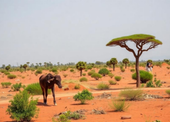
A new Perspective in Globalization and Health proposes a five-layer AI framework and IGAD-anchored roadmap for climate-health early warning across ...
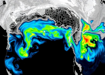
A new study combining change-point analysis with ARIMA and neural network models finds rising heatwave magnitude in Western Maharashtra and ...

A new composite index scores seismic prevention capacity across seven domains for 12 earthquake-prone countries, finding coherent prevention groupings but ...

A global microsimulation across 132 countries finds that one dollar of disaster damages causes well-being losses equivalent to a two-dollar ...

A pretrained vision transformer called RAVEN predicts highly pathogenic avian influenza outbreak risk across Canada up to two weeks in ...
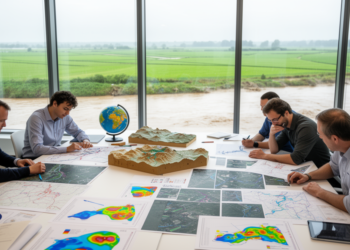
A systematic review of 73 CGIAR studies from 2012 to 2023 reveals how the research consortium has documented flood impacts ...

A four-year study in Maricá, Brazil, combined satellite-era wave reanalysis with Instagram posts and local news reports to identify a ...
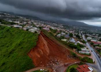
A five-decade analysis of landslide and rainfall records in Greater Durban has produced tiered rainfall thresholds, with a 70th percentile ...

A new review maps how artificial intelligence is transforming mosquito identification, disease forecasting, and vector control worldwide.


Embark on a thrilling journey of discovery with Scienmag.com—your ultimate source for cutting-edge breakthroughs. Immerse yourself in a world where curiosity knows no limits and tomorrow’s possibilities become today’s reality!