


Satellite Images Validate Contrail Formation Models
A new study uses high-resolution satellite imagery to validate contrail formation models, finding 98.3% agreement when using in situ aircraft ...
A new study uses high-resolution satellite imagery to validate contrail formation models, finding 98.3% agreement when using in situ aircraft ...

Researchers have introduced ContrailStruct30, a 30-meter thermal-infrared satellite dataset designed to support pixel-level machine learning segmentation of aircraft contrails.
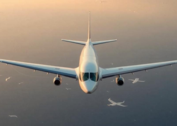
A nine-partner European consortium led by Universidad Carlos III de Madrid has launched the 30-month ZENITIA project to develop models, ...


Embark on a thrilling journey of discovery with Scienmag.com—your ultimate source for cutting-edge breakthroughs. Immerse yourself in a world where curiosity knows no limits and tomorrow’s possibilities become today’s reality!