


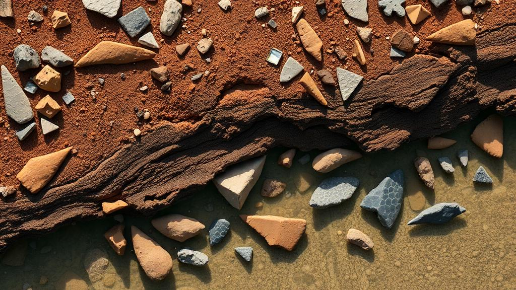
Beneath the turquoise waters of north-western Australia, archaeologists have confirmed what many Aboriginal custodians have long maintained: the cultural landscape of Murujuga does not end at the shoreline. New research published in the journal Quaternary Science Reviews documents Australia’s oldest known underwater archaeological record, revealing stone artefacts on the seabed that preserve evidence of how First Peoples lived, moved resources and organised their lives across a vast terrain that vanished beneath the ocean when rising seas transformed the continent after the end of the last Ice Age. The sites were submerged at least 9,000 years ago, though the artefacts themselves could be considerably older, and their survival on the seafloor challenges long-standing assumptions about what could possibly endure beneath waves for millennia.
The findings carry particular weight because they demonstrate that earlier underwater discoveries at Murujuga, first reported by the Deep History of Sea Country project in 2020 and again in 2023, were not isolated anomalies. Instead, they form part of a broader submerged cultural landscape spread across a region now inscribed on the World Heritage list. For archaeologists studying the deep history of the Australian continent, this distinction between a single lucky find and an extensive, patterned distribution of cultural material is fundamental. It means the seabed around Murujuga can be studied systematically, with sites predicted, located and interpreted in relation to one another, much as terrestrial landscapes are.
The scale of what was lost to the sea is difficult to overstate. More than two million square kilometres of Australia’s continental shelf was submerged as sea levels rose following the end of the last Ice Age, a process that unfolded over thousands of years as ice sheets melted and ocean basins filled. Before that transformation, generations of First Nations peoples lived across landscapes that now lie beneath the ocean, including coastal plains, river valleys and freshwater springs that would have made the region attractive for settlement. The newly documented sites offer a rare, direct window into that drowned world, capturing two distinct kinds of places within what was once dry, connected land.
The first of these sites centres on an ancient freshwater spring, a feature that would have been nothing short of vital in the arid northwest. Reliable water sources in such environments act as anchors for human activity, drawing people together for drinking, food procurement, social gatherings and ceremony. The presence of stone artefacts associated with the spring is consistent with such a pattern of congregation, indicating that this spot on the now-submerged plain was a focal point in the lives of the people who used it. The second site tells a different story: it is associated with a rocky hill overlooking an ancient river channel, a vantage point that would have offered both practical advantages and a different set of resources. Together, the two sites show how people used different parts of the landscape when the archipelago was still connected by dry land, moving between springs, hills and watercourses in ways that structured their daily and seasonal lives.
Among the most technically significant results of the analysis is evidence of raw material selection and transport. Some of the artefacts were made from stone sourced from around Rosemary Island, approximately 23 kilometres from where they were ultimately found on the seabed. That distance matters. It suggests that people deliberately moved valuable stone resources across a landscape that is now entirely underwater, carrying preferred raw materials over considerable distances either for immediate use or as part of broader exchange and mobility patterns. In archaeological terms, such transport demonstrates decision-making about stone quality, availability and curation, and it provides a measurable link between distinct places within the drowned landscape, effectively reconstructing ancient connections that no land-based survey could ever recover.
The research is the product of a partnership between underwater archaeology researchers from Flinders University, The University of Western Australia, James Cook University and the University of York in the United Kingdom, working with the Murujuga Aboriginal Corporation and its Rangers. Crucially, the collaboration was not a token consultation. Rangers from the Murujuga Aboriginal Corporation Land and Sea Unit trained as scientific divers and worked alongside the archaeologists to locate and document the underwater cultural sites. Malik Churnside and Richard Variakojis, Rangers from the Land and Sea Unit and co-authors on the paper, undertook scientific diver surveys and made some of the underwater discoveries themselves, embedding Indigenous expertise and custodianship directly into the scientific process.
Lead researcher Professor Jonathan Benjamin, a specialist in marine archaeology at Flinders University’s College of Human Sciences and Culture, emphasised the value of working beside trained Indigenous Rangers who actively contributed to this challenging scientific research. Underwater survey in this environment is far from straightforward: visibility, currents, tides and the sheer difficulty of recognising cultural material on a seabed that has been reshaped by thousands of years of marine processes all combine to make such work demanding. Recognising a stone artefact amid natural rock, and distinguishing a deliberate human deposit from geological scatter, requires both archaeological training and an intimate understanding of the country in question, which is precisely what the partnership model provides.
For the Ngarda-Ngarli people, the Traditional Owners of the region, the findings confirm an understanding of Country that has never been confined to what is above the waterline. Vincent Adams, Director of the Murujuga Aboriginal Corporation, noted that the Ngarda-Ngarli people have cared for Murujuga for at least 50,000 years, and that the research shows their cultural landscape extends far beyond the shoreline and into Sea Country, where important parts of their story remain preserved beneath the sea. In Aboriginal and Torres Strait Islander frameworks, Sea Country is not an empty marine space but a living part of Country, holding ancestral connections, responsibilities and knowledge. The archaeological evidence now aligns with that understanding in a form recognised by mainstream science.
Adams also pointed to the implications of the region’s World Heritage recognition, observing that it brings new responsibilities as well as global recognition, and that research of this kind strengthens the community’s ability to identify, understand and protect the whole Murujuga cultural landscape, including Country that was submerged when sea levels rose thousands of years ago. That protective dimension is significant. Submerged heritage is vulnerable to industrial activity, anchoring, dredging and other seabed disturbances, and it is far less visible, and far less legally established, than terrestrial archaeology. Documented sites, mapped distributions and published evidence give custodians and regulators a concrete basis for managing what lies beneath the water with the same seriousness applied to heritage on land.
The study, an observational study published in Quaternary Science Reviews under the DOI 10.1016/j.quascirev.2026.110307, builds on the landmark discoveries reported in 2020 and 2023 by the Deep History of Sea Country project team, and its authors are affiliated with the ARC Centre of Excellence for Indigenous and Environmental Histories and Futures. The authors declare no known competing financial interests or personal relationships that could have appeared to influence the work. Taken together, the discoveries reframe the drowned continental shelf not as a void between archaeological sites but as an integral, preserved component of Australia’s deep human history, one in which freshwater springs, rocky hills and transported stone record the movements and decisions of people whose world the ocean swallowed at least 9,000 years ago, and whose descendants continue to read that story from beneath the waves.
Subject of Research: Submerged Aboriginal archaeological sites and stone artefact transport on the drowned cultural landscape of Murujuga, Western Australia
Article Title: Australia’s oldest underwater archaeology reveals ancient life within a lost landscape
Article References: Australia’s oldest underwater archaeology reveals ancient life within a lost landscape. (n.d.). Original publication
Image Credits: AI Generated
DOI: Not provided
Keywords: underwater archaeology, Murujuga, Aboriginal heritage, sea-level rise, Quaternary Science Reviews, continental shelf, stone artefacts, Rosemary Island, Sea Country, Flinders University, last Ice Age, World Heritage
Cite Scienmag News
Courtney Benton. (October 14, 2026). Stone tools beneath the sea reveal a lost Aboriginal landscape drowned 9,000 years ago. Scienmag. https://scienmag.com/stone-tools-beneath-the-sea-reveal-a-lost-aboriginal-landscape-drowned-9000-years-ago/
Courtney Benton. "Stone tools beneath the sea reveal a lost Aboriginal landscape drowned 9,000 years ago." Scienmag, 14 October 2026, https://scienmag.com/stone-tools-beneath-the-sea-reveal-a-lost-aboriginal-landscape-drowned-9000-years-ago/. Accessed 14 October 2026.
Courtney Benton. "Stone tools beneath the sea reveal a lost Aboriginal landscape drowned 9,000 years ago." Scienmag. October 14, 2026. https://scienmag.com/stone-tools-beneath-the-sea-reveal-a-lost-aboriginal-landscape-drowned-9000-years-ago/


