


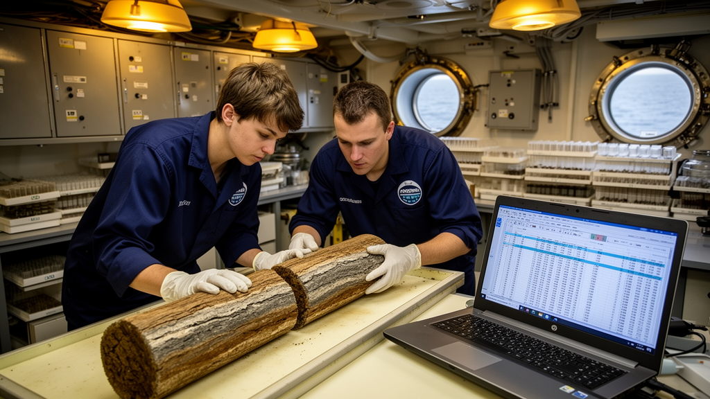
A new review documents how scientists aboard the research vessel JOIDES Resolution captured their observations of hundreds of kilometers of drilled seafloor, and how those methods culminated in GEODESC, a set of browser-based applications built to make collaborative geological description faster, more consistent, and accessible from anywhere in the world. Written by Peter Blum and Laurel B. Childress of the Gulf Coast Repository at Texas A&M University and published in Scientific Drilling, the review traces five phases of database and software development from 1985 to 2024, ending with the toolset that served the final two years of the ship’s operations.
The scale of the underlying effort is extraordinary. Over roughly 37 years of JOIDES Resolution operations serving the Ocean Drilling Program, the Integrated Ocean Drilling Program, and the International Ocean Discovery Program, the ship drilled more than 640 kilometers of sediment and rock and recovered more than 370 kilometers of core. Every meter of that recovered material was visually described by teams of scientists working around the clock under severe time pressure. Those descriptions formed a complete record of the stratigraphic sections drilled, allowing subsequent investigators to select samples and integrate observations with shipboard measurements.
In the earliest phase, from 1985 to 1989, describers began with handwritten notes on paper templates printed for each 1.5-meter core section, with centimeter scales and columns for observations and comments. These notes were photographed onto microfiche until about 1992 and later scanned to PDF. They were then summarized onto graphic visual core description diagrams, or VCDDs, which were published in expedition proceedings as the final descriptive product. Sediment diagrams carried 16 columns covering everything from lithology and drilling disturbance to biostratigraphic zones and paleomagnetic data, while igneous rock diagrams used eight columns for more detailed descriptions of pieces, textures, alteration, veins, and vesicles.
As desktop computers spread in the mid-1980s, the community demanded digital databases. The System 1032 database running on VAX computers was introduced on the ship, and instrument data from devices such as the multi-sensor core logger flowed directly into it. Descriptive data proved far harder. Form-based entry programs such as HARVI and HRTHIN, deployed in 1989 for hard rock descriptions, offered data validation but imposed rigid structures that scientists found too restrictive. A successor called ROCKY, built in 1993 and 1994, was never accepted. Sedimentologists received the Macintosh-based ODP VCD drawing program in 1990, which reduced the 16-column diagram to 9 columns, but it produced pixel-raster files with no underlying database, and a follow-up application nicknamed Etch-a-Sketch was never completed.
A pivotal shift came as scientists turned, in growing numbers, to Excel spreadsheets to record detailed interval-by-interval observations that rigid forms could not accommodate. The Janus Oracle database, operational in 1997, managed instrument data but never gained a workable description entry program; draft schemas for descriptive observables mushroomed into an unmanageable number of tables. The contracted AppleCORE program, introduced in 1996 for sediment descriptions, coded graphical entries into data structures, but its configuration files were expedition-specific, binary, and now largely unreadable on modern systems. Petrologists never adopted it, and thin interbedded lithologies could not be adequately displayed. A 2002 advisory working group formally recommended that spreadsheet-based descriptions be incorporated into a relational database with common templates, effectively setting the blueprint for what came next.
That blueprint became DESClogik, created during the ship’s 2005 to 2009 renovation alongside a new Laboratory Information Management System. DESClogik used spreadsheet interfaces over a relational database to support sediments, igneous and metamorphic rocks, and microfossil assemblages at microscopic, macroscopic, and summary scales. Crucially, it decoupled data capture from data presentation: scientists recorded observations in customizable spreadsheets, and publication staff later used the commercial Strater plotting program to generate VCDDs combining descriptive and instrument data with digital core images. DESClogik generated a repository of relatively consistent spreadsheets from Expeditions 317 through 396 that remain available online. But it ran only on Windows, relied on Microsoft libraries, and frustrated micropaleontologists, who needed to alter templates constantly and could not do so without technician help.
GEODESC, proposed in 2016 and officially developed from 2019 to 2022, addressed these limits by moving everything to the web. Built on the Angular framework with the SpreadJS spreadsheet engine and Java back-end services, the toolset consists of four browser-based applications requiring no software installation, enabling secure collaboration among globally distributed team members before, during, and after a field campaign. Design and implementation took four years, involving three dedicated team members and more than 20 employees of the JOIDES Resolution Science Operator as designers, developers, and testers. The system was deployed for Expeditions 398 through 403, a shorter window than planned because the International Ocean Discovery Program ended earlier than expected.
The system’s architecture reflects decades of accumulated lessons. A Catalog Manager holds starter templates drawn from past expeditions, hundreds of rigorously defined observables, thousands of geological entry values, and dedicated taxa, synonym, zone, and datum catalogs for micropaleontology. A six-element observable definition syntax, covering entry type, quantification, texture, source or state, composition, and focus, forces each observable to be an unambiguous English sentence whose definition and column header cannot be changed once created. The Template Manager lets project teams copy and customize catalog templates, while the Data Capture application offers validated spreadsheet entry with dropdown lists, autosaving, and a workset dashboard that lets only one user edit a given combination of template and cores at a time. Published data flow to a Data Access application that delivers tab-separated value files to project members and, after a moratorium period, the public.
GEODESC currently has no built-in visualization; shipboard teams relied on the browser-based LIVE plotting tool for real-time quality control and on Strater, whose support ended around the close of JR operations in 2024, for publication graphics. The authors outline development opportunities, including a generic sample registry for users outside the LIMS infrastructure, real-time plotting modules, and an illustrated catalog linking the thousands of geological terms to the hundreds of thousands of core images that scientific ocean drilling has produced, a resource they suggest could also feed machine learning approaches that remain limited today by scarce training data.
Now maintained by the Gulf Coast Repository at Texas A&M University, GEODESC remains available for use on cores or any other geological materials from any location with internet access, and the Scientific Ocean Drilling Coordination Office plans to use it on upcoming expedition projects. Because it is hosted centrally as a web service rather than packaged for local installation, even small university teaching labs can use the same tools as major drilling programs, with support needs limited to an administrator and modest IT tasks. The authors note that the toolset and its four-decade development history may also serve as a reference for any organization now building software for collaborative geological description, ensuring that the hard-won lessons of the JOIDES Resolution era outlive the ship itself.
Subject of Research: Collaborative geological core description software developed for the JOIDES Resolution
Article Title: GEODESC web applications for collaborative description of geological materials – a legacy of the JOIDES Resolution era
Article References: Blum, P., & Childress, L. B. (2026). GEODESC web applications for collaborative description of geological materials – a legacy of the JOIDES Resolution era. Scientific Drilling, 35(2), 229-254. https://doi.org/10.5194/sd-35-229-2026
Image Credits: AI Generated
Keywords: GEODESC, JOIDES Resolution, scientific ocean drilling, IODP, core description, visual core description diagrams, spreadsheet data capture, micropaleontology, relational database, DESClogik, web applications, Gulf Coast Repository
Cite Scienmag News
Violet Maxwell. (October 23, 2026). Spreadsheet-Powered Web Tools Cap Four Decades of Ocean Core Description Aboard the JOIDES Resolution. Scienmag. https://scienmag.com/spreadsheet-powered-web-tools-cap-four-decades-of-ocean-core-description-aboard-the-joides-resolution/
Violet Maxwell. "Spreadsheet-Powered Web Tools Cap Four Decades of Ocean Core Description Aboard the JOIDES Resolution." Scienmag, 23 October 2026, https://scienmag.com/spreadsheet-powered-web-tools-cap-four-decades-of-ocean-core-description-aboard-the-joides-resolution/. Accessed 23 October 2026.
Violet Maxwell. "Spreadsheet-Powered Web Tools Cap Four Decades of Ocean Core Description Aboard the JOIDES Resolution." Scienmag. October 23, 2026. https://scienmag.com/spreadsheet-powered-web-tools-cap-four-decades-of-ocean-core-description-aboard-the-joides-resolution/


