


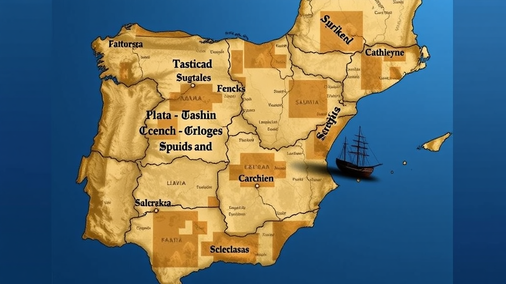
Spain’s waters hold one of the richest underwater archaeological archives on Earth: Phoenician trading vessels, Roman freighters, medieval wrecks, the sunken traces of the transatlantic Carrera de Indias, and submerged landscapes that record millennia of coastal settlement, naval conflict and oceanic exploration. Yet a new open-access analysis of the country’s first binding maritime spatial plans reveals that this heritage, despite winning unprecedented legal recognition, remains largely a bystander in the decisions that will shape Spain’s seas for decades. The study, published in Discover Oceans by Laro G. Canoura of IHCantabria at the University of Cantabria, dissects how cultural heritage is conceptualised, zoned and regulated within the five Planes de Ordenación del Espacio Marítimo, or POEMs, approved by Real Decreto 150/2023.
Maritime spatial planning, or MSP, is a public process for analysing and allocating the spatial and temporal distribution of human activities in marine areas to achieve ecological, economic and social objectives. Within the European Union, Directive 2014/89/EU formally recognises cultural heritage as a relevant planning consideration, but its operationalisation across member states has been uneven and conceptually underdeveloped. As offshore wind farms, port expansions, submarine cables, aquaculture and seabed extraction intensify competition for marine space under the European Green Deal, the question of whether shipwrecks and cultural seascapes can claim a seat at the planning table has become urgent. Canoura’s analysis arrives at a decisive moment, because Spain’s next planning cycle is due in 2027.
The research uses a qualitative policy-analysis approach, systematically reviewing Real Decreto 150/2023 and the Diagnostic Reports, Block III, accompanying the five POEMs, which cover the North Atlantic, South Atlantic, the Strait of Gibraltar and Alboran Sea, the Levantine-Balearic area and the Canary Islands. The analysis is framed by the UNESCO 2001 Convention on the Protection of the Underwater Cultural Heritage, to which Spain has been a State Party since 2005, and by critical heritage scholarship and the concept of maritime cultural landscapes. Rather than assessing whether heritage inventories are complete, the study asks how heritage knowledge is translated into spatial planning instruments and how the plans reshape the conditions under which heritage is governed.
The most significant technical innovation of the Spanish framework is the creation of zones of priority use for the protection of cultural heritage, a spatial category that formally acknowledges underwater archaeological remains and culturally significant coastal-marine interfaces as planning concerns. The decree attaches a suite of protective measures to these zones: restrictions on seabed-disturbing activities such as dredging, drilling and anchoring, limitations on bottom-contact fishing gears, mandatory consultation with heritage authorities, and the integration of archaeological assessment into environmental impact assessments. These provisions operationalise existing heritage law within MSP, but the study finds they remain reactive and compliance-oriented, prioritising avoidance of physical damage rather than proactive research, strategic mapping or the integration of heritage values into broader spatial narratives.
The comparative analysis of the five demarcations exposes a striking asymmetry between analytical recognition and operational spatialisation. The Levantine-Balearic demarcation, which contains some of the richest underwater archaeological resources in Spanish waters, including Phoenician, Roman and medieval shipwrecks and submerged harbour structures, offers detailed diagnostic discussion of heritage and its conflicts with tourism, offshore energy and submarine infrastructure, yet designates no heritage priority zones at all. Conversely, the North Atlantic and South Atlantic demarcations, whose diagnostic sections are less detailed, contain the most explicit heritage-related spatial designations. In the North Atlantic, priority zones are linked to emblematic sites such as the Tower of Hercules and to culturally significant coastal-marine interfaces in Galicia and the Basque Country, making it the only demarcation to spatialise landscape concerns meaningfully.
Behind this unevenness lies a governance story. Maritime planning in Spain is coordinated nationally by the Ministry for the Ecological Transition and the Demographic Challenge through the Directorate-General for the Coast and the Sea, but cultural heritage management is highly decentralised, with most responsibilities held by the Autonomous Communities, which maintain distinct archaeological inventories, permit systems and research capacities. Andalusia, through its Centro de Arqueología Subacuática and decades of investment, holds one of the most comprehensive underwater heritage datasets in Spain, and this singular institutional capacity largely drives the extensive heritage zoning in both the South Atlantic and Strait of Gibraltar demarcations. Other regions, such as Cantabria and Asturias, have yet to finalise their inventories. The study concludes that heritage integration depends more on regional institutional capacity than on a coherent national strategy.
Heritage authorities, moreover, typically participate as consultees rather than core planning actors, entering processes at late stages through consultation and environmental assessment rather than shaping spatial priorities from the start. This creates a structural imbalance in which maritime and energy sectors possess consolidated planning mandates, extensive datasets and strong institutional representation, while heritage operates through fragmented regional systems with heterogeneous resources. Data-sharing restrictions designed to protect sensitive archaeological information further limit the incorporation of heritage datasets into publicly accessible planning platforms. The result is a reactive governance model in which heritage authorities respond to proposed developments instead of influencing where development should occur.
The study also identifies a persistent conceptual narrowness. Across all five demarcations, heritage is overwhelmingly represented through tangible, mappable assets: shipwrecks, submerged structures and protected coastal monuments. Intangible maritime heritage, traditional ecological knowledge, navigation routes, fishing grounds and broader cultural-seascape perspectives remain largely absent, a bias the analysis attributes to planning systems privileging knowledge that is spatially fixed, quantifiable and administratively manageable. This contrasts with more advanced European practice: the BalticRIM project framed maritime cultural heritage as a contributor to blue growth and regional identity, Estonia combines archaeological inventories with participatory mapping and cultural-seascape methodologies, Belgium embeds seabed archaeology into offshore licensing, and Scotland’s Historic Marine Protected Areas safeguard everything from vessels to submerged prehistoric landscapes.
Why should anyone beyond planners care? Because heritage, the study argues, is not merely an obstacle to development but a strategic spatial resource. Underwater archaeological sites, historic ports and cultural seascapes drive tourism, regional branding and local economic diversification. Shipwrecks often function as artificial reefs that support marine biodiversity, and many underwater sites overlap with marine protected areas and Natura 2000 networks, offering opportunities for joint cultural-natural management. Heritage also carries strong symbolic and identity-based significance for coastal communities, making it a powerful lever for stakeholder engagement and social acceptance of marine policies, including the contentious energy transition now reshaping European seas.
The conclusions point toward concrete reforms for the 2027 planning cycle: shared geospatial infrastructures, early-stage heritage participation in plan design, cross-sectoral working groups, adaptive instruments such as areas of archaeological potential and layered heritage sensitivity mapping that can operate under data uncertainty, and conceptual tools like maritime cultural landscape corridors and cumulative impact overlays reflecting both ecological and cultural dimensions. The deeper message is that integrating heritage into MSP is not solely a technical or cartographic challenge but a governance issue shaped by institutional structures, epistemic hierarchies and competing policy agendas. Spain’s first-generation POEMs have achieved formal recognition, the study finds, but practical operationalisation remains limited. Whether underwater cultural heritage becomes a constitutive element of marine governance or remains a constraint tacked onto environmental assessments will depend on whether planners learn to see the sea not just as an economic frontier, but as a layered cultural landscape.
Subject of Research: Integration of maritime cultural heritage within Spain's maritime spatial planning framework
Article Title: The role and gaps of cultural heritage within Spain’s maritime spatial planning
Article References: Canoura, L. G. (2026). The role and gaps of cultural heritage within Spain’s maritime spatial planning. Discover Oceans, 3(1), Article 41. https://doi.org/10.1007/s44289-026-00156-y
Image Credits: AI Generated
DOI: 10.1007/s44289-026-00156-y
Keywords: maritime spatial planning, underwater cultural heritage, Spain, POEMs, marine governance, maritime archaeology, cultural seascapes, UNESCO 2001 Convention, blue economy, offshore renewable energy, heritage zoning, EU MSP Directive
Cite Scienmag News
Violet Maxwell. (September 25, 2026). Spain Puts Shipwrecks on the Map, but Its Ocean Plans Leave Heritage on the Sidelines. Scienmag. https://scienmag.com/spain-puts-shipwrecks-on-the-map-but-its-ocean-plans-leave-heritage-on-the-sidelines/
Violet Maxwell. "Spain Puts Shipwrecks on the Map, but Its Ocean Plans Leave Heritage on the Sidelines." Scienmag, 25 September 2026, https://scienmag.com/spain-puts-shipwrecks-on-the-map-but-its-ocean-plans-leave-heritage-on-the-sidelines/. Accessed 5 October 2026.
Violet Maxwell. "Spain Puts Shipwrecks on the Map, but Its Ocean Plans Leave Heritage on the Sidelines." Scienmag. September 25, 2026. https://scienmag.com/spain-puts-shipwrecks-on-the-map-but-its-ocean-plans-leave-heritage-on-the-sidelines/


