


Nearly two-thirds of urban Indonesian households rely on groundwater they pump or draw themselves, and for roughly a quarter of them, that water is the main source of drinking water. A new study published in Environmental Monitoring and Assessment has now built a nationwide ranking of which Indonesian cities face the greatest microbial risk from this self-supplied groundwater, using nothing but existing secondary data. The work, led by Paul Hansen of the Institute for Sustainable Futures at the University of Technology Sydney together with colleagues at Universitas Indonesia, Institut Teknologi Bandung and UTS, offers a cost-effective screening tool for a country where systematic water quality testing has never been extensive enough to map the danger directly.
The scale of the problem is considerable. Approximately 95 million people in Indonesian cities draw part of their household water from private groundwater sources, yet an estimated 68 percent of urban households lack access to what the United Nations defines as safely managed drinking water: an improved source on premises, available when needed and free from fecal and priority chemical contamination. For urban households using self-supplied groundwater as their main drinking source, a nationwide survey found Escherichia coli bacteria in 69 percent of samples. The health stakes are well established; a systematic review found that the presence of E. coli in drinking water increases the risk of diarrhea by 54 percent.
Indonesia’s government plans to extend safe piped water to urban households, but that build-out will take years. In the interim, targeting investment and interim safety measures at the cities where contamination risk is highest would deliver the greatest benefit. The obstacle is data: water quality testing across the archipelago is too sparse to identify every high-risk area, a problem common to many resource-limited countries. Earlier attempts to fill such gaps with generic groundwater vulnerability indices, such as the widely used DRASTIC and GOD methods, have correlated with chemical contamination but failed to predict microbial contamination, possibly because these indices do not adequately capture the first-order decay of microbes as they migrate through the unsaturated zone above the water table.
The research team took a different route. They structured their search for risk factors around the source-pathway-receptor framework, a conceptual model originally developed for contaminated land assessment and later adapted for understanding groundwater contamination from on-site sanitation. In this framing, contamination arises from sources such as on-site sanitation systems, which serve 90 percent of urban Indonesian households, along with sewer leakage, livestock and untreated greywater discharged to street drains. Pathways include travel through aquifers and localized routes such as surface runoff seeping through cracks in a dug-well wall. Receptors are the wells and boreholes themselves, whose construction determines how effectively they block pathogen transmission.
To calibrate a statistical model, the researchers drew on the SKAM-RT household drinking water quality survey conducted in 2020 as a sub-survey of Indonesia’s national socioeconomic survey. Of the 21,829 households targeted nationally, 847 in cities used dug-wells or boreholes as their main drinking water source, and after excluding households whose locations could not be matched to geospatial data, 619 remained for analysis. A Mann-Whitney U test confirmed no location-based bias from these exclusions. The outcome variable was binary: whether a household’s water exceeded the World Health Organization high-risk threshold of 100 colony-forming units of E. coli per 100 milliliters. Overall, 21.2 percent of the sampled households crossed that line.
Because the survey sampled clusters of ten adjacent households in each urban village, contamination observations were likely to be spatially correlated, sharing similar subsurface conditions. The team therefore applied a generalized estimating equation framework with an exchangeable working correlation structure and robust sandwich standard errors, fitted in SPSS. Using the purposeful selection method, which blends statistical significance with subject-matter knowledge, four predictors made the final model: source type, aquifer lithology, rainfall in the two months preceding and overlapping sampling, and population density. Multicollinearity among these predictors was negligible, with all variance inflation factors below 1.1, and Box-Tidwell tests confirmed the linearity of the log-odds assumption for the continuous variables.
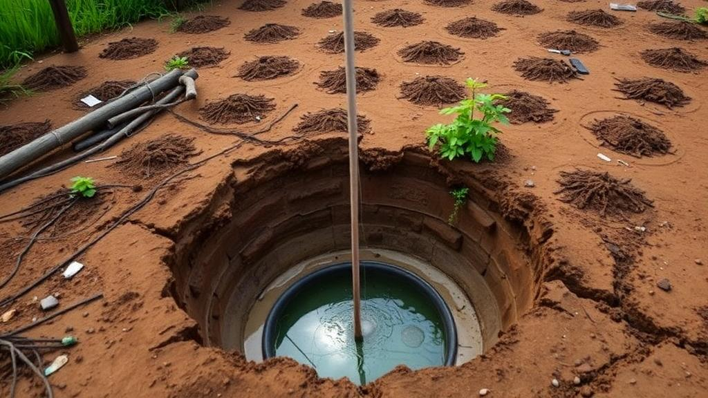
The results were striking in places. Dug-wells carried 2.9 times greater odds of high-level E. coli contamination than drilled boreholes, a highly significant difference reflecting the fact that dug-wells typically tap shallower groundwater with shorter contaminant pathways and offer more opportunities for localized entry of polluted surface water. Population density also emerged as a significant predictor, with denser neighborhoods facing higher risk, consistent with findings from Uganda but contrasting with studies in Bangladesh where faster attenuation may mask the effect. Locations underlain by solid or volcanic rock showed 40 percent lower odds of contamination than those on unconsolidated sediment or limestone, though the authors caution this may reflect the tendency of unconsolidated sediments and limestone to coincide with low-lying coastal areas and river valleys where groundwater is shallow, rather than any direct filtration effect. Rainfall added further predictive power, in line with a broad body of research linking antecedent precipitation to fecal indicator bacteria levels.
The model achieved an area under the receiver operating characteristic curve of 0.715, indicating acceptable discrimination, and an events-per-variable ratio of 32.8, well above recommended thresholds for stability. But the real innovation lies in how the team converted household-level predictions into a city-level risk ranking. Using a geographic information system, they created raster layers for each predictor at a pixel resolution of roughly 280 by 315 meters, applied the fitted regression equation to every pixel, and computed a population-weighted mean of the predicted log-odds for each of Indonesia’s 99 cities. This probability was then multiplied by the proportion of households in each city relying on self-supplied groundwater for drinking, drawn from the 2022 national socioeconomic survey of approximately 330,000 households, yielding a composite risk score that captures both the likelihood of contamination and the size of the exposed population.
Validation against four independent datasets spanning 14 locations, including routine monitoring data from Jakarta’s five municipalities and research datasets from Metro City, Bekasi and Yogyakarta, revealed acceptable agreement at 10 of the 14 locations but systematic underprediction at four: Metro, a wet-season Bekasi cluster, North Jakarta and a Yogyakarta site. The mean bias across all validation sites was minus 6.7 percentage points, with a root mean square error of 0.116. The underprediction was concentrated where measured contamination was highest, and the authors trace it to three risk factors they could not include for lack of city-level data: depth to groundwater, the composition of the unsaturated zone, and the sanitary inspection score, a visual assessment of well condition that was itself a significant independent predictor in the calibration data. Notably, three of the four underpredicted sites had above-median proportions of dug-wells, and previous research has linked poor dug-well condition specifically to E. coli contamination.
The practical takeaway is nuanced. Of the 99 cities ranked, 19 were robustly classified as high risk, five as medium risk and five as low risk, while the remaining 70 fell into tiers sensitive to statistical uncertainty. The model’s high negative predictive value of 0.875 means it is more trustworthy for identifying lower-risk cities than for confirming high-risk ones, so the rankings should be treated as a screening tool that directs ground-truthing through targeted water testing and sanitary inspection, particularly in cities with many dug-wells, rather than as a definitive verdict on any city’s water safety. The authors identify three data priorities for sharpening future rankings: nationally consistent depth-to-groundwater measurements, city-level aggregation of sanitary inspection scores, and better characterization of unsaturated zone properties such as porosity and clay content. Until then, the method stands as a transparent, reproducible template for risk-based prioritization in low- and middle-income urban settings where self-supplied groundwater remains a lifeline and the data to assess it has always been the bottleneck.
Subject of Research: Predictive modeling of fecal contamination risk in self-supplied urban groundwater in Indonesia
Article Title: Ranking microbial risk of self-supplied groundwater in urban Indonesia
Article References: Hansen, P., Pratama, M. A., Priadi, C., Irawan, D. E., Foster, T., & Willetts, J. (2026). Ranking microbial risk of self-supplied groundwater in urban Indonesia. Environmental Monitoring and Assessment, 198(10), Article 1098. https://doi.org/10.1007/s10661-026-15909-7
Image Credits: AI Generated
DOI: 10.1007/s10661-026-15909-7
Keywords: groundwater, E. coli, Indonesia, self-supply, logistic regression, water quality, sanitation, urban health, risk ranking, dug wells, source-pathway-receptor, drinking water
Cite Scienmag News
Violet Maxwell. (October 5, 2026). Dug Wells and Crowded Cities: New Model Maps Fecal Contamination Risk in Indonesian Groundwater. Scienmag. https://scienmag.com/dug-wells-and-crowded-cities-new-model-maps-fecal-contamination-risk-in-indonesian-groundwater/
Violet Maxwell. "Dug Wells and Crowded Cities: New Model Maps Fecal Contamination Risk in Indonesian Groundwater." Scienmag, 5 October 2026, https://scienmag.com/dug-wells-and-crowded-cities-new-model-maps-fecal-contamination-risk-in-indonesian-groundwater/. Accessed 5 October 2026.
Violet Maxwell. "Dug Wells and Crowded Cities: New Model Maps Fecal Contamination Risk in Indonesian Groundwater." Scienmag. October 5, 2026. https://scienmag.com/dug-wells-and-crowded-cities-new-model-maps-fecal-contamination-risk-in-indonesian-groundwater/


