


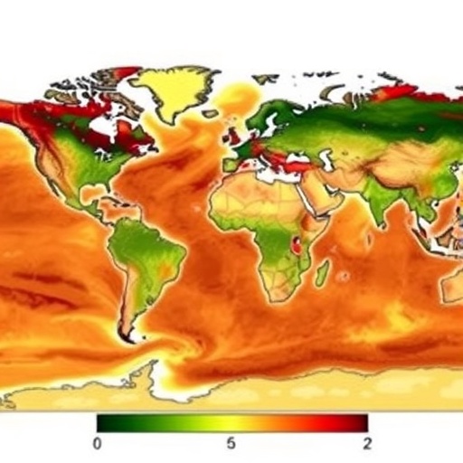
Soil moisture is a quiet driver of major risks—shaping crop growth, drought evolution, flood potential, and the daily exchange of water and heat between land and atmosphere. Yet tracking it continuously across the planet remains notoriously difficult. A new study reframes that challenge by tapping navigation satellites in a way that is designed for consistency over widely varying landscapes.
Instead of relying on dense ground gauges or satellite products that can be disrupted by clouds, vegetation, or limited resolution, the researchers turn to Global Navigation Satellite System–Reflectometry (GNSS-R). GNSS-R listens to reflected signals—indirect measurements that can reveal how wet the surface is. The obstacle is that different satellite missions “see” the Earth differently, due to orbit, geometry, and signal behavior, so naïve merging can blur signals rather than enhance them.
The work, published July 8, 2026 in Satellite Navigation, introduces an attention-guided Transformer that learns mission-specific strengths before combining them. By integrating reflected-navigation observations from Tianmu-1 (TM-1) and Fengyun-3 (FY-3), the model builds a more coherent global soil moisture record than single-mission approaches or simple fusion schemes.
To make the data model-ready, TM-1 and FY-3 GNSS-R observations were gridded onto the 36-km EASE-Grid 2.0. Surface reflectivity served as the key observable, while the system also ingested complementary environmental inputs such as SMAP-derived roughness and temperature, MODIS NDVI, a global elevation model, and SoilGrids estimates of clay and silt.
The architecture uses two dedicated branches, one for each mission, preserving differences in how TM-1 and FY-3 measure the land surface. An attention module then adaptively weighs cross-mission contributions, allowing the Transformer to focus on the most informative observations as vegetation, climate, and land cover shift over time.
Performance results highlight the payoff. The fused TM-1 + FY-3 dataset achieved 79.7% average global monthly temporal coverage. Against SMAP soil moisture references, it reached a correlation coefficient of 0.88 with an RMSE of 0.053 m³/m³. Independent validation using International Soil Moisture Network (ISMN) measurements produced a correlation of 0.67 and an unbiased RMSE of 0.041 m³/m³.
The model also demonstrated strong error characteristics in an Extended Triple Collocation (ETC) framework, yielding a correlation of 0.75 and a random error standard deviation of 0.030 m³/m³. Notably, accuracy was especially strong in arid, sparsely vegetated regions where reflected signals respond more directly to surface moisture changes.
The authors emphasize that multi-mission GNSS-R is not just about adding data—it’s about teaching algorithms how each constellation senses the land. With attention-guided fusion, the method can handle missing observations, complex surfaces, and mission differences in a unified way—an attractive feature for operational hydrology.
If extended to more GNSS-R constellations, uncertainty-aware fusion, and broader validation across tropical and multi-continent regions, the approach could deliver more continuous soil moisture products. That could strengthen drought early warning, flood forecasting, irrigation planning, and land–atmosphere research—turning reflected navigation signals into a global environmental signal with real-world urgency.
Keywords
Soil moisture, GNSS-R, multi-mission fusion, Transformer, hydrology, drought monitoring
Cite Scienmag News
Bethany Barker. (July 17, 2026). Satellite Observations Improve Global Mapping of Soil Moisture. Scienmag. https://scienmag.com/satellite-observations-improve-global-mapping-of-soil-moisture/
Bethany Barker. "Satellite Observations Improve Global Mapping of Soil Moisture." Scienmag, 17 July 2026, https://scienmag.com/satellite-observations-improve-global-mapping-of-soil-moisture/. Accessed 3 September 2026.
Bethany Barker. "Satellite Observations Improve Global Mapping of Soil Moisture." Scienmag. July 17, 2026. https://scienmag.com/satellite-observations-improve-global-mapping-of-soil-moisture/


