


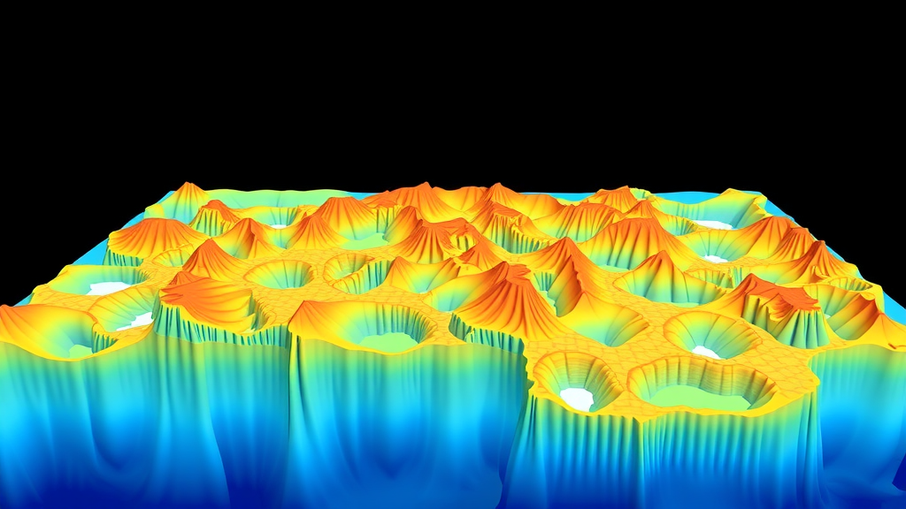
Beneath the frigid surface waters of East Antarctica, a quiet river of meltwater is spreading through the ocean, and for the first time scientists have reconstructed its full three-dimensional architecture without relying on the assumptions that have long constrained such studies. A new analysis published in Nature Communications introduces an end-member-independent hydrographic parameterization that traces glacier-derived freshwater through the coastal seas of East Antarctica, revealing where melt accumulates, how deeply it penetrates, and how it reshapes the water column. The achievement matters because the fate of Antarctic meltwater is one of the central uncertainties in projections of sea-level rise and Southern Ocean circulation.
Tracking glacial melt in the ocean is deceptively difficult. When ice shelves and glacier termini discharge freshwater, whether as basal melt from floating ice or as subglacial outflow at grounding lines, that water mixes almost immediately with ambient seawater. Oceanographers traditionally quantify the meltwater fraction using tracer-based calculations that require predefined source water types, known as end members. In the classic approach, an analyst assumes the ocean can be described as a mixture of a small number of pure inputs, for example warm deep water, winter-modified shelf water, and pure glacial melt, each with known temperature and salinity. The meltwater fraction is then inferred from the leftover properties that cannot be explained by the mixing of those assumed sources.
The problem is that the answers depend heavily on the choices made. Pick a different deep-water definition, adjust the salinity of the meltwater end member, or allow a glacial ice end member in addition to liquid melt, and the estimated freshwater fractions can shift substantially. In regions with complex hydrography, where Antarctic Bottom Water formation, modified Circumpolar Deep Water intrusions, and seasonal sea-ice processes all compete to shape water properties, the ambiguity grows worse. East Antarctica, with its thousands of kilometers of ice front and sparse observations, has been especially vulnerable to these methodological uncertainties, leaving the meltwater budget of the region poorly constrained.
The new study sidesteps the end-member problem entirely. Rather than prescribing source water types and solving for their proportions, the researchers developed a parameterization that identifies glacier-derived freshwater directly from the structure of the hydrographic data itself. The technique exploits the fact that glacial melt alters temperature and salinity along characteristic lines in property space: because meltwater enters the ocean at the freezing point and carries negligible salt, its addition moves water masses in predictable directions in temperature-salinity coordinates. By parameterizing these trajectories without fixing the end points, the method estimates the freshwater contribution at every measured depth, producing not just a surface map but a three-dimensional reconstruction of the meltwater field.
The reconstruction is built from the vast archive of hydrographic observations collected across the East Antarctic shelf and slope, including conductivity-temperature-depth profiles, seal-mounted sensor data, and ship-based measurements gathered over multiple decades. Each profile is processed to separate the meltwater signal from other processes that also modify salinity, such as sea-ice formation and melting, precipitation, and the intrusion of off-shelf water masses. The end-member-independent framework then assembles these individual column estimates into a continuous three-dimensional field, resolved in longitude, latitude, and depth, that captures the horizontal pathways and vertical distribution of glacier-derived freshwater around the continent’s eastern half.
The resulting picture is striking. Meltwater is not distributed uniformly along the coast. Instead, the reconstruction shows concentrated lenses and layers of freshwater that accumulate at intermediate depths, typically well below the surface, where melt-laden water spreads neutrally according to its density. Along several major glacier systems, plumes of meltwater extend tens to hundreds of kilometers offshore, following the contours of shelf banks and canyon systems that steer the flow. In some locations the freshwater signal reaches the upper slope, hinting that glacial melt from East Antarctica may be exported into the broader Southern Ocean circulation rather than being trapped locally over the shelf, as older, two-dimensional assessments often implied.
These vertical details carry significant implications for ocean physics and climate. Freshwater stabilizes the water column by reducing surface density, which suppresses vertical mixing and can alter the formation of dense shelf waters that ultimately feed Antarctic Bottom Water, a key component of the global overturning circulation. By quantifying where melt accumulates at depth, the reconstruction allows scientists to test whether meltwater is interfering with bottom-water formation sites, potentially weakening the engine that ventilates the deep ocean and stores carbon and heat on centennial timescales. The three-dimensional view also provides essential validation data for ocean and coupled climate models, which historically have struggled to represent meltwater pathways realistically and often rely on crude runoff schemes at the ice-ocean boundary.
The methodological advance is as important as the observational findings. Because the parameterization does not require users to specify source water properties, it can be applied consistently across regions and through time, enabling fair comparisons between sectors of Antarctica and between different observational eras. Consistency is precisely what large-scale budget studies need: aggregating meltwater estimates produced with different end-member choices has been a persistent obstacle to constructing a continent-wide picture. An end-member-independent approach also reduces the risk of circular reasoning, in which assumptions about meltwater properties determine the meltwater fraction that is then used to infer melt rates. The authors show that their framework yields robust meltwater distributions under a range of environmental conditions, offering a template that can be transferred to other glacier-influenced seas.
For East Antarctica specifically, the study arrives at a pivotal moment. Long considered more stable than the marine-terminating glaciers of West Antarctica, the eastern ice sheet is increasingly showing signs of change, with warm modified deep water reaching the flanks of some major ice shelves and several basins identified as potential candidates for future accelerated retreat. A reliable reconstruction of where glacier-derived freshwater already enters the ocean provides both a baseline against which future change can be measured and a diagnostic of which systems are presently discharging melt at elevated rates. If meltwater export from the region strengthens, the three-dimensional fields produced by this method will help determine how quickly that signal propagates into the abyssal circulation.
The work also demonstrates how reanalysis of existing observations can yield new science without new expeditions. Decades of shipboard hydrography and the growing record of instrumented seals have created an underexploited treasure trove for the Southern Ocean; the challenge has been extracting subtle signals, like glacial freshwater, from noisy, unevenly sampled data. By turning a long-standing methodological weakness, the dependence on assumed source waters, into a solved problem, the researchers have converted scattered profiles into a coherent, multidimensional dataset of one of climate science’s most consequential tracers. As observations accumulate and parameterization techniques mature, the approach promises continuously updated maps of Antarctic meltwater, giving scientists and policymakers a clearer view of how the ice sheet, the ocean, and the global climate system are entangling beneath the surface of the far South.
Subject of Research: Three-dimensional mapping of glacier-derived freshwater in East Antarctic coastal waters using an end-member-independent hydrographic method
Article Title: Three-dimensional reconstruction of glacier-derived freshwater in East Antarctica using an end-member-independent hydrographic parameterization
Article References: Watanabe, Y. W., Hirano, D., Ohashi, Y., Sugita, M., Nakano, Y., Makabe, R., & Mizobata, K. (2026). Three-dimensional reconstruction of glacier-derived freshwater in East Antarctica using an end-member-independent hydrographic parameterization. Nature Communications, 17(1), Article 9498. https://doi.org/10.1038/s41467-026-77441-z
Image Credits: AI Generated
DOI: 10.1038/s41467-026-77441-z
Keywords: East Antarctica, glacial meltwater, hydrography, ice shelf melt, Southern Ocean, Antarctic Bottom Water, temperature-salinity analysis, sea-level rise, ocean circulation, water mass analysis, climate change, oceanography
Cite Scienmag News
Violet Maxwell. (September 20, 2026). Mapping the Hidden Freshwater of East Antarctic Glaciers in Three Dimensions. Scienmag. https://scienmag.com/mapping-the-hidden-freshwater-of-east-antarctic-glaciers-in-three-dimensions/
Violet Maxwell. "Mapping the Hidden Freshwater of East Antarctic Glaciers in Three Dimensions." Scienmag, 20 September 2026, https://scienmag.com/mapping-the-hidden-freshwater-of-east-antarctic-glaciers-in-three-dimensions/. Accessed 5 October 2026.
Violet Maxwell. "Mapping the Hidden Freshwater of East Antarctic Glaciers in Three Dimensions." Scienmag. September 20, 2026. https://scienmag.com/mapping-the-hidden-freshwater-of-east-antarctic-glaciers-in-three-dimensions/


