


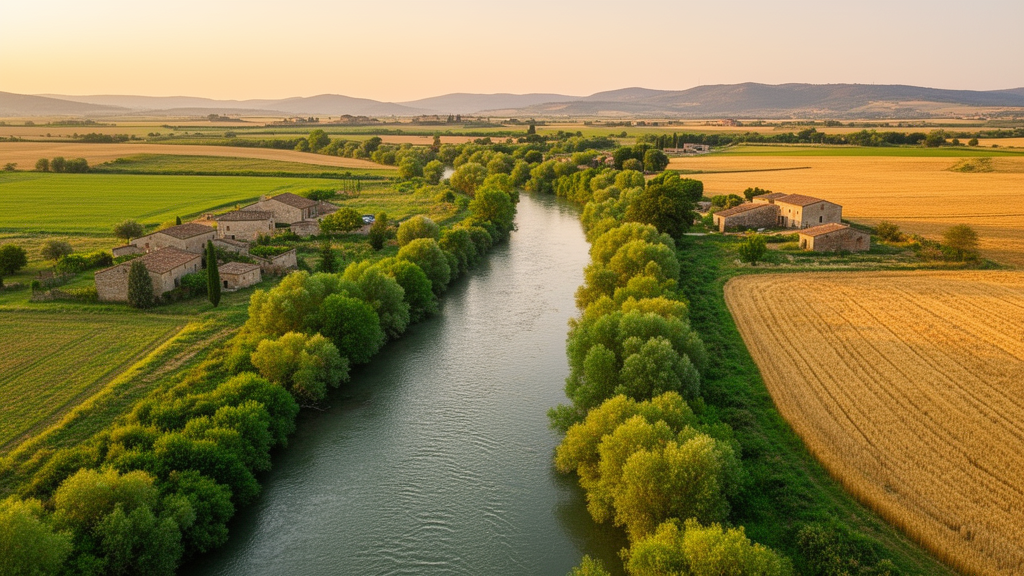
One of southern Italy’s most important rivers has just been given a complete botanical health check, and the results reveal a landscape far richer and more fragile than its heavily farmed surroundings might suggest. A new study published in Italian Botanist has reconstructed the plant vegetation landscape along the entire course of the Ofanto River, from its mountain source in Campania to its mouth on the Adriatic coast near Barletta, producing the first detailed habitat map of the riverbanks and classifying every patch of vegetation according to the European CORINE Biotopes system.
The Ofanto is no minor waterway. Stretching approximately 170 kilometres and draining a catchment of more than 2,700 square kilometres, it crosses three regions, Campania, Basilicata and Apulia, and no fewer than 23 municipalities before reaching the sea south of Lake Salpi. Its hydrology is famously torrential: summer discharges can fall to around one cubic metre per second, while winter flows surge to 35 or 40 cubic metres per second, with an average of roughly 15 cubic metres per second at the mouth. Mean annual precipitation in the basin is about 720 millimetres, and average temperatures hover around 14 degrees Celsius, conditions that shape everything from cereal fields on the Tavoliere plain to vineyards and olive groves in the Alta Murgia.
To capture this complexity, the research team combined field surveys conducted in August and September 2025 with photointerpretation and comparison against existing cartography, using QGIS software to build thematic maps at a scale of 1:100,000. The river was divided into four main sections, each mapped separately to reflect its distinct environmental character. A minimum mapping unit of 25 linear metres and 625 square metres was applied, meaning that features smaller than this threshold were merged with adjacent polygons. Every digitised habitat was then assigned a CORINE Biotopes code, the European reference system for cataloguing natural and semi-natural environments, ensuring that the results can be compared consistently across the continent.
The headline finding is striking: of the 26.97 square kilometres of habitat mapped along the riverbanks, riparian forests of poplars and willows, dominated by Populus nigra and Salix alba, cover 17.50 square kilometres, or 64.88 percent of the total. These forests are the structural backbone of the entire river corridor, stabilising banks, regulating hydrology, purifying water naturally and providing the ecological connectivity that allows species to disperse along the river axis. Their importance is formally recognised at the European level, since several riparian forest types are listed as habitats of community interest in Annex I of the Habitats Directive 92/43/EEC and form key elements of the Natura 2000 network.
The second most extensive category is the Mediterranean downy oak woodland, classified under code 41.732, which occupies 6.76 square kilometres, or 25.06 percent of the surveyed area. These Quercus pubescens forests, found mainly in the hilly stretches of the basin near sites such as Valle Refezzella in the province of Potenza, act as transitional ecosystems between the river and the surrounding uplands. Accompanied by manna ash, Fraxinus ornus, and shrubs such as hawthorn, blackthorn and dog rose, they contribute to the temperate deciduous broadleaf scrub habitat (code 31.81), which covers a further 1.00 square kilometres, or 3.70 percent. Conifer plantations, mainly Aleppo pine woods established for hydrogeological protection near Monteverde, account for 1.29 square kilometres, or 4.78 percent, while reed beds dominated by the common reed Phragmites australis cover 0.42 square kilometres, or 1.58 percent.
The spatial pattern tells a compelling ecological story. At the river mouth, the landscape is dominated by Phragmites australis reed beds accompanied by tamarisk communities of Tamarix canariensis and Tamarix arborea, alongside liquorice, Glycyrrhiza glabra, and salt-tolerant halophytes such as Limonium narbonense and Limbarda crithmoides subsp. longifolia. Moving inland toward Canosa di Puglia, these coastal communities give way to riparian forests of black poplar and white willow, with fig, olive, hawthorn and caper bushes appearing among the trees. Further upstream, between the hamlets of Loconia and San Nicola di Melfi, the riparian forests persist but in a more fragmented form, and here the survey recorded a troubling guest: the invasive black locust, Robinia pseudoacacia, which substantially alters the original composition of the vegetation. The nitrophilous ruderal herb Xanthium strumarium is also abundant in this stretch, a telltale sign of human disturbance.
Approaching the source areas in the Irpinia highlands at about 715 metres above sea level, the vegetation becomes increasingly natural and floristically rich, with mountain riparian forests dominated by white willow and a consistent presence of black poplar and field elm, Ulmus minor. The study documents a clear gradient of increasing naturalness upstream, mirroring the typical dynamics of Mediterranean fluvial systems where hydrological variability, sediment characteristics, water availability and anthropogenic pressures interact to shape plant communities. This gradient means that the most pristine stretches lie in the mountainous upper basin, while the coastal zone suffers the heaviest pressures from tourism-related urbanisation, agricultural expansion, shoreline modification and nutrient discharges that drive eutrophication and degrade riparian vegetation.
The findings carry significant legal and conservation weight. The Ofanto corridor is partially protected by the Regional Natural Park Fiume Ofanto, established by Regional Law No. 37 of 2007, and overlaps with the Site of Community Importance Valle dell’Ofanto, Valle di Capacciotti, designated a Special Area of Conservation in 2018 and covering approximately 25,000 hectares. Yet the study shows that riparian forests in the middle and lower reaches are significantly fragmented by agricultural expansion, infrastructure development and urbanisation, reducing the continuity of ecological corridors in contradiction to the requirements of Article 10 of the Habitats Directive, which emphasises the need to maintain and restore connectivity between natural habitats. The reed beds, though limited in extent, are recognised as habitats of conservation interest under code 72A0 and contribute to the objectives of the Water Framework Directive 2000/60/EC, which requires member states to maintain or restore the ecological status of water bodies.
Perhaps the most actionable finding concerns invasive species management. Robinia pseudoacacia is listed as a Species of Union Concern under EU Regulation 1143/2014, and its abundance in the Loconia and San Nicola di Melfi stretches represents a significant threat to native riparian ecosystems, altering floristic composition and reducing local biodiversity. The study identifies the progressive eradication of this species, together with the gradual conversion of artificial conifer plantations into native mixed forests, as priority measures for conserving the river’s ecological functionality. The conifer plantations, while successful at stabilising slopes, have caused structural and floristic simplification compared to the original forests they replaced.
The authors frame the Ofanto as a regional-scale ecological corridor linking lowland, hilly and mountainous environments across southern Italy, and they propose an integrated management agenda: re-naturalisation of riverbanks, reconversion of artificial plantations, monitoring and control of invasive species, protection of residual habitats such as reed beds, oak forests and scrublands, and the alignment of agricultural, urban and water management policies with conservation goals. Future research, they suggest, should focus on long-term vegetation monitoring, assessment of climate change impacts on the river’s already extreme hydrological regime, and evaluation of restoration effectiveness, potentially integrating remote sensing tools, ecological indicators and participatory territorial management. For a river that has endured centuries of geomorphological transformation, intensive agriculture, water abstraction and even microplastic pollution, the new map offers both a warning and a roadmap: the green backbone of the Ofanto still stands, but holding it together will require deliberate, coordinated action across three regions and 23 municipalities.
Subject of Research: Vegetation landscape, habitat mapping and biodiversity of the Ofanto River in southern Italy
Article Title: Habitat, plant landscape and biodiversity of Ofanto River (southern Italy)
Article References: Pardi, R., Di Gristina, E., Cirlincione, F., Venturella, G., Di Marco, G., & Gargano, M. L. (2026). Habitat, plant landscape and biodiversity of Ofanto River (southern Italy). Italian Botanist, 21, 195-213. https://doi.org/10.3897/italianbotanist.21.175461
Image Credits: AI Generated
DOI: 10.3897/italianbotanist.21.175461
Keywords: Ofanto River, riparian forests, CORINE Biotopes, habitat mapping, Phragmites australis, Robinia pseudoacacia, Quercus pubescens, Natura 2000, Habitats Directive, ecological connectivity, southern Italy, invasive species
Cite Scienmag News
Margaret Porter. (October 17, 2026). Mapping the Green Backbone of Southern Italy’s Ofanto River. Scienmag. https://scienmag.com/mapping-the-green-backbone-of-southern-italys-ofanto-river/
Margaret Porter. "Mapping the Green Backbone of Southern Italy’s Ofanto River." Scienmag, 17 October 2026, https://scienmag.com/mapping-the-green-backbone-of-southern-italys-ofanto-river/. Accessed 17 October 2026.
Margaret Porter. "Mapping the Green Backbone of Southern Italy’s Ofanto River." Scienmag. October 17, 2026. https://scienmag.com/mapping-the-green-backbone-of-southern-italys-ofanto-river/


