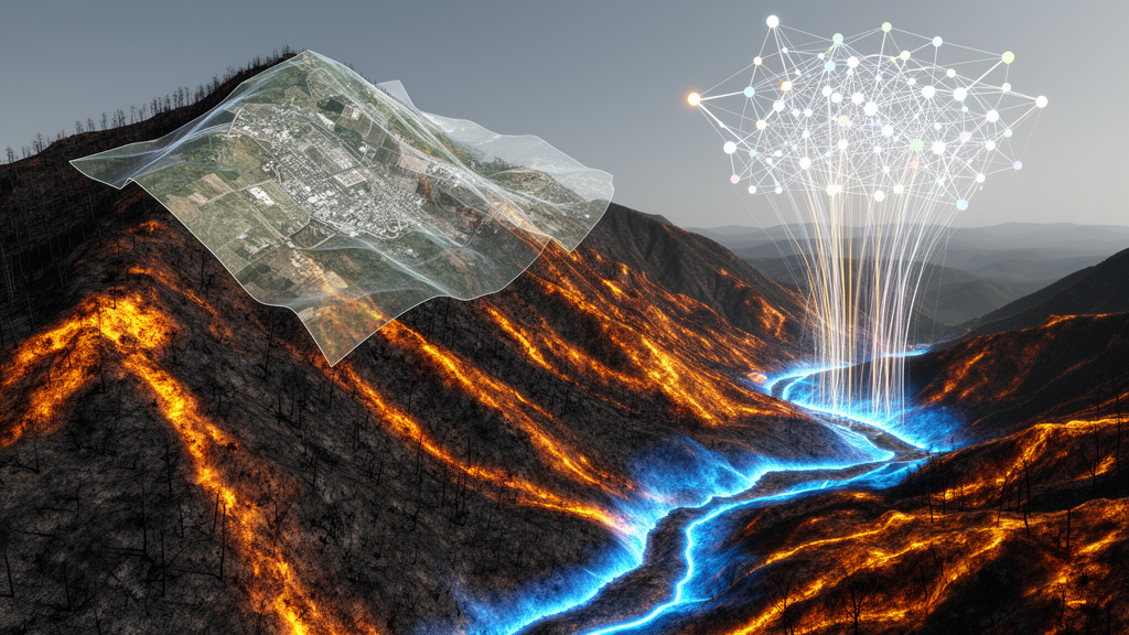
Wildfires are increasing in frequency and intensity, raising the risk of landsliding in burned mountainous terrain and creating a growing need for effective ways to map post-fire debris-flow hazards. A new study in Natural Hazards presents a machine learning framework designed to automate this mapping task, combining multi-temporal airborne lidar digital elevation models with satellite-derived vegetation indices across seven post-wildfire watersheds in the Columbia River Gorge, Oregon.
The researchers evaluated five classifiers: Logistic Regression, Support Vector Machine, K-Nearest Neighbors, Random Forest, and XGBoost. Each model was tested under two class imbalance correction strategies and three spatially structured validation designs, an approach intended to assess how well the framework performs under real-world transferability rather than idealized conditions.
The results showed that multi-temporal features, meaning the difference between data epochs, improved classification by 18 to 40 percent over single-epoch approaches across all models. This suggests that capturing change over time in both terrain and vegetation provides substantially more information for identifying debris-flow signatures than any single snapshot of the landscape.
When comparing strategies for handling imbalanced data, balanced undersampling outperformed oversampling across the performance metrics.
Feature importance analysis ranked topography as the most important set of variables for debris-flow mapping, with vegetation as secondary and hydrologic variables having less impact. The study mapped debris-flow initiation and deposition zones with high inter-model agreement across the classifiers, while transport zones were underclassified, indicating that this intermediate part of the debris-flow pathway remains harder for the models to detect.
According to the authors, these findings contribute to the development of rapid, automated, data-driven tools for post-fire landslide mapping that could aid emergency response and land-use planning in mountainous regions at risk of fire. The work was led by Sanjaya Paudel, Maryn Sanders, Michael J. Olsen, and Ben A. Leshchinsky, and published as an original research paper in Natural Hazards in October 2026.
Subject of Research: Machine learning-based mapping of post-wildfire debris-flow hazards using lidar and satellite data in Oregon watersheds
Article Title: Post-wildfire debris-flow hazard mapping using machine learning in mountainous watersheds
Article References: Paudel, S., Sanders, M., Olsen, M. J., & Leshchinsky, B. A. (2026). Post-wildfire debris-flow hazard mapping using machine learning in mountainous watersheds. Natural Hazards, 122(22), Article 692. https://doi.org/10.1007/s11069-026-08409-x
Image Credits: AI Generated
DOI: 10.1007/s11069-026-08409-x
Keywords: post-wildfire debris flows, machine learning, lidar, vegetation indices, Columbia River Gorge, XGBoost, Random Forest, class imbalance, topography, hazard mapping, landslides, Natural Hazards
Cite Scienmag News
Teresa Odom. (October 28, 2026). Machine learning maps post-wildfire debris-flow hazards from lidar and satellite data. Scienmag. https://scienmag.com/machine-learning-maps-post-wildfire-debris-flow-hazards-from-lidar-and-satellite-data/
Teresa Odom. "Machine learning maps post-wildfire debris-flow hazards from lidar and satellite data." Scienmag, 28 October 2026, https://scienmag.com/machine-learning-maps-post-wildfire-debris-flow-hazards-from-lidar-and-satellite-data/. Accessed 4 November 2026.
Teresa Odom. "Machine learning maps post-wildfire debris-flow hazards from lidar and satellite data." Scienmag. October 28, 2026. https://scienmag.com/machine-learning-maps-post-wildfire-debris-flow-hazards-from-lidar-and-satellite-data/