


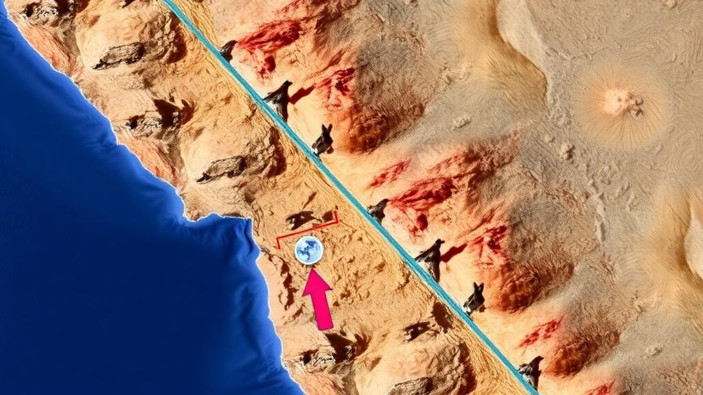
For decades, earthquake science has carried an uncomfortable truth: while seismologists can map where the planet’s largest quakes have happened, they have had remarkably little success saying where the next one will rupture. A team of geophysicists at the University of California, Riverside, now reports a method that changes that calculus. Rather than attempting the notoriously impossible task of predicting when an earthquake will strike, the researchers have built an algorithm that identifies where tectonic stress is quietly accumulating along the world’s most dangerous faults. In a striking validation of the technique, the model flagged the precise segment of the Kamchatka subduction zone in eastern Russia where a massive earthquake subsequently ruptured. The study, led by geophysicists Gareth Funning and Axel Periollat and published in Geophysical Research Letters, offers what the authors describe as a powerful new tool for long-term disaster planning in some of the most seismically hazardous regions on Earth.
The physics underlying the approach centers on subduction zones, the convergent plate boundaries where one tectonic plate slides beneath another. These settings produce the planet’s largest earthquakes, including events exceeding magnitude 8.5, and frequently unleash devastating tsunamis when the seafloor lurches upward or sideways. But not every part of a subduction interface moves the same way. Some patches slip freely and harmlessly as the plates grind past one another, while others remain firmly stuck, a state scientists call locking. These locked patches, known as asperities, behave like patches of high friction that resist motion even as the plates around them continue to converge. Year after year, the surrounding crust deforms to accommodate the accumulating mismatch, storing elastic strain energy like a slowly winding spring. When the frictional resistance finally fails, that stored energy is released in seconds as a major earthquake. The Riverside team’s insight was that this years-long accumulation phase leaves a measurable fingerprint at the surface, and that fingerprint can be detected and mapped before rupture.
The fingerprint in question comes from GPS. Networks of continuously operating ground stations scattered across subduction-zone coastlines record millimeter-scale movements of the Earth’s surface as the crust flexes in response to a locked fault below. Where the interface is locked, coastal points are typically dragged landward or held back relative to the motion expected from steady plate convergence; where it creeps, the surface moves more freely. By inverting these subtle deformation patterns, the researchers developed a new algorithm that distinguishes locked, energy-storing portions of the fault from freely slipping ones. The technique does not require dense or perfect data. As Periollat noted, the team had identified the Kamchatka asperity based on a relatively limited data set, and the model still pinpointed the region that later broke. That robustness matters, because offshore faults are among the most poorly instrumented places on the planet, and any forecasting method must work with sparse observations to be practically useful.
The Kamchatka test case is the study’s most dramatic result. Before the rupture, the researchers’ analysis of GPS measurements had highlighted a specific locked region beneath Russia’s Kamchatka Peninsula as a zone of concentrated strain accumulation. The timing of any eventual earthquake was beyond the scope of their method, and they make no claim to have predicted when the event would occur. But when a giant earthquake did strike in 2025, the rupture occurred exactly where the model indicated strain had built up. “We had an idea where the strain was accumulating based on a relatively limited data set,” Periollat said. “Seeing it work so well confirmed that this approach has real potential.” For a field in which retrospective claims of predictive success are often contested, a documented forecast of a rupture location made before the event stands out as an unusually clean validation.
Equally instructive is what the comparison with history revealed about how differently earthquakes can behave at the same boundary. Kamchatka experienced giant earthquakes in both 1952 and 2025, yet the more recent event generated a much smaller tsunami. The researchers interpret this contrast as evidence that the shallowest portion of the fault slipped less during the 2025 rupture than it did during the earlier one. Because shallow slip on a subduction interface displaces the seafloor most efficiently and is a primary driver of tsunami generation, this difference in rupture behavior carries direct hazard implications. The finding underscores a key limitation the team is careful to state: the method identifies where strain is stored, not how a future rupture will distribute that slip, and it cannot predict tsunami size or earthquake timing. Even so, knowing which segments of a megathrust are primed to break narrows the search space for hazard assessment considerably.
The practical value of location-specific forecasting lies in long-term planning rather than short-term warning. Building codes, evacuation routes, tsunami inundation maps, and infrastructure investment all depend on knowing which stretches of coastline face the greatest risk. A method that can rank fault segments by their stored strain gives planners a physically grounded basis for prioritizing those decisions. The Riverside team is already extending the approach to other major subduction zones in Japan, Mexico, New Zealand, and the Pacific Northwest, each of which presents additional complications. Some of these boundaries host slow-slip events that release accumulated energy gradually rather than in sudden earthquakes, blurring the simple distinction between locked and creeping patches and demanding more sophisticated models of how strain builds and dissipates over time.
The researchers are also testing whether the same framework can be applied to continental transform faults closer to home. “In the Bay Area, the Hayward Fault has both creeping and locked sections, much like subduction zones,” Funning said. “We’re investigating whether we can identify the parts most likely to generate future earthquakes.” The parallel is scientifically appealing: if the algorithm can resolve locking along a strike-slip fault threaded through a densely populated urban corridor, it could sharpen hazard estimates for millions of residents. The Hayward Fault creeps visibly along much of its length, yet historical and paleoseismic evidence shows it is capable of large ruptures, making the question of which sections remain truly locked a matter of considerable public interest. Translating a method validated at a subduction zone to a different faulting regime will require careful adaptation, but the underlying principle of mapping surface deformation to infer subsurface locking applies broadly.
Scaling the technique globally, however, runs into an observational bottleneck. GPS stations on land provide valuable information, but many of the world’s most dangerous faults lie offshore, beneath the ocean, where conventional ground-based geodesy cannot reach. Researchers in Japan have begun deploying acoustic instruments on the seafloor that combine underwater sound travel times with satellite positioning to measure slow deformation over many years, and similar efforts are being proposed for Chile and the Pacific Northwest. A recently launched satellite could eventually provide additional geodetic measurements in regions that currently lack GPS coverage, extending the method’s reach. The work also highlights major gaps in global earthquake monitoring, particularly in parts of the Pacific where sparse data make it difficult to assess tsunami hazards. Closing those gaps, the authors argue, is a prerequisite for applying strain-based forecasting to the plate boundaries that need it most.
Throughout, the team is emphatic that improved forecasting of earthquake locations should complement, never replace, public preparedness. “Your peace of mind shouldn’t come from believing we can forecast the exact earthquake,” Funning said. “Especially where we live in Southern California, it’s not a matter of if, but when. There is no substitute for preparation.” That message frames the study’s contribution in sober terms: the algorithm cannot tell a coastal community the day or hour of the next megathrust rupture, but it can tell engineers and emergency managers where the spring is most tightly wound. “We can identify where large earthquakes are likely to occur, even if we can’t predict exactly when,” Periollat said. “With better observations and continued monitoring, we can learn much more about Earth’s most dangerous faults.” If the method performs as well at other plate boundaries as it did at Kamchatka, the map of future earthquake risk may become considerably sharper, one locked asperity at a time.
Subject of Research: A GPS-based method for identifying locked fault segments where giant subduction-zone earthquakes are likely to rupture
Article Title: New method predicts where massive earthquakes will strike
Article References: New method predicts where massive earthquakes will strike. (n.d.). Original publication
Image Credits: AI Generated
DOI: Not provided
Keywords: earthquakes, subduction zones, GPS geodesy, fault locking, asperities, Kamchatka, tsunami hazard, seismic forecasting, tectonic strain, Hayward Fault, Geophysical Research Letters, disaster preparedness
Cite Scienmag News
Violet Maxwell. (October 7, 2026). Locked Fault Patches Reveal Where Giant Earthquakes Will Strike Next. Scienmag. https://scienmag.com/locked-fault-patches-reveal-where-giant-earthquakes-will-strike-next/
Violet Maxwell. "Locked Fault Patches Reveal Where Giant Earthquakes Will Strike Next." Scienmag, 7 October 2026, https://scienmag.com/locked-fault-patches-reveal-where-giant-earthquakes-will-strike-next/. Accessed 7 October 2026.
Violet Maxwell. "Locked Fault Patches Reveal Where Giant Earthquakes Will Strike Next." Scienmag. October 7, 2026. https://scienmag.com/locked-fault-patches-reveal-where-giant-earthquakes-will-strike-next/


