


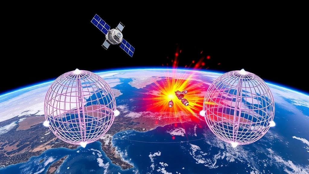
Low Earth orbit is becoming a crowded neighborhood, and a team of Korean researchers has unveiled a new way to keep tabs on just how dangerous it is getting. In a study published in the International Journal of Aeronautical and Space Sciences, engineers and scientists from the Korea Advanced Institute of Science and Technology (KAIST) and the Korea Astronomy and Space Science Institute (KASI) present a reproducible, resolution-aware framework for assessing the collision environment that satellites face, built around what they call a 3D-cell model. The work arrives at a moment when the orbital population has swelled dramatically: according to the European Space Agency’s 2025 Space Environment Report, Earth orbit now contains roughly 54,000 objects larger than 10 centimeters, about 1.2 million objects between 1 and 10 centimeters, and an astonishing 130 million fragments from 1 millimeter to 1 centimeter. Only around 9,300 of the tracked objects are active payloads, meaning the vast majority of what circles the planet is debris that no one can steer out of the way.
The new framework is part of a broader integrated collision-risk analysis system that KAIST and KASI have been developing to support Korea’s space situational awareness capabilities, coordinated through the newly established Korea AeroSpace Administration. That system operates on two complementary scales. At the microscopic level, it evaluates individual conjunction events using the states and covariances of two objects at their time of closest approach, supporting operational decisions about whether a specific satellite should maneuver. At the macroscopic level, the subject of the new paper, the framework assesses the environment as a whole. The macroscopic module itself contains two models with distinct purposes: the 3D-cell model, which snapshots where orbital traffic is concentrated and how much risk particular assets are exposed to, and a 1D source-sink model designed to project how the environment evolves over years under different policy drivers such as post-mission disposal regulations.
The mathematical heart of the 3D-cell model is a discretization of space around Earth in three geocentric coordinates: radius, declination, and right ascension. The analysis domain is partitioned into cells, and every catalogued object’s orbit is converted into a set of cell-passage events, the moments when the object crosses cell boundaries. Using classical orbital mechanics, the researchers compute the true anomalies at which each orbit crosses boundaries of constant radius, declination, and right ascension, then map those crossings onto elapsed times through Kepler’s equation. Sorting the boundary-crossing times partitions one full orbital period into residence intervals, and the fraction of the period spent in each cell becomes that object’s residence probability. Summing residence probabilities across all objects and dividing by cell volume yields a time-averaged spatial density field, a three-dimensional map of where the catalogued population actually lives.
Collision exposure for a target satellite is then evaluated using an approach borrowed from the kinetic theory of gases, the same conceptual foundation underlying ESA’s MASTER model. The target’s own residence probabilities sample the density field, producing a velocity-independent spatial overlap that captures how much time the target spends where the debris is densest. Multiplying by a prescribed effective relative speed converts this overlap into impact flux, and combining flux with a collision cross-section and an analysis interval yields an expected impact count. Under a Poisson model, the probability of at least one impact over the interval follows directly as one minus the exponential of the negative expected count. Crucially, because expected impact counts are additive, the researchers can decompose each target’s risk exactly by catalog group, attributing changes to Starlink satellites, other payloads, rocket bodies, named debris families from documented breakups, and unknown or to-be-assigned records.
A key contribution of the new study is a systematic sensitivity analysis, something the team’s earlier implementation had not attempted. Using a 2025 snapshot of the Space-Track catalog, the researchers tested eight cell widths for each coordinate, ranging from 45 kilometers down to 0.25 kilometers in radius, 4 degrees down to 0.01 degrees in declination, and 360 degrees down to 1 degree in right ascension, always varying one parameter at a time from a reference setting of 10 kilometers, 1 degree, and a full 360-degree ring. The results were striking: normalized expected impact counts for six test targets ranged from 0.615 to 1.599 relative to reference values, and the responses were not uniformly monotonic. For a synthetic 500-kilometer circular orbit, refining the radial cell width to 0.25 kilometers produced a result 38.5 percent below the 10-kilometer reference. The lesson is that shrinking cells does not necessarily converge smoothly toward a stable answer, because changing global cell widths shifts boundaries relative to localized orbital structures such as constellation shells.
Computational performance revealed direction-dependent trade-offs that matter for anyone planning routine monitoring. At a fixed total of 64,800 cells, configurations that refined the radial dimension required 7.03 seconds of runtime, declination refinement took 9.30 seconds, but right-ascension refinement needed only 1.74 seconds, because radial and declination refinement involve far more boundary tests and orbit-passage intervals. Memory usage, by contrast, tracked the allocated grid size more directly, so right-ascension refinement primarily costs memory rather than time. The authors conclude that their reference setting offers a practical balance for screening-level work, while applications demanding tighter quantitative estimates should refine the grid and explicitly characterize discretization sensitivity, ideally with adaptive or locally refined grids that remain a priority for future development.
The historical case studies quantify just how fast the environment has changed. Across ten annual September 1 snapshots constructed from Space-Track data, the catalogued population grew from 15,723 objects in 2016 to 28,540 in 2025. For the synthetic 500-kilometer circular target, the annual expected impact count rose from 2.26 millionths to 17.7 millionths, a 7.86-fold increase driven overwhelmingly by Starlink, which contributed a factor of 3.36 relative to the 2016 baseline, other payloads at 2.22, and unknown or TBA records at 1.07. The two Korean space assets analyzed, the KOMPSAT-3A Earth-observation satellite in a low-altitude sun-synchronous orbit and the DOORY-SAT small radar satellite at roughly 47 degrees inclination, showed contrasting patterns. KOMPSAT-3A’s risk was dominated by newly deployed Starlink satellites and other payloads, while DOORY-SAT was comparatively insulated, with its largest contribution coming from other debris at a modest ratio of 0.22. The same catalog growth, in other words, hits different satellites in profoundly different ways depending on where they fly.
The study also disentangled a curious negative density band near 830 to 870 kilometers, tracing it primarily to the aging FENGYUN 1C debris cloud left by China’s 2007 anti-satellite test. The number of accepted FENGYUN 1C debris records fell from 2,550 in 2016 to 1,912 in 2025, and within the affected altitude range from 561 to 385. Of 722 identifiers present in 2016 but absent in 2025, 419 have documented decay dates, while 274 surviving objects shifted below 830 kilometers. The band therefore reflects a combination of atmospheric decay, downward orbital redistribution, and catalog turnover rather than any single process, illustrating the kind of attribution analysis the framework makes routine.
Perhaps the most eye-catching result is a conditional stress test of SpaceX’s proposed Orbital Data Center constellation, a filing that envisions 998,240 satellites distributed across 94 altitude shells. When this population is added to the 2025 catalog environment, the annual probability of at least one impact jumps from 1.52 millionths to 3.75 thousandths for a synthetic 700-kilometer sun-synchronous target, and from 4.47 millionths to 1.48 thousandths for a 1,000-kilometer target. Notably, these two targets had shown only modest changes over the preceding decade, yet they became the most strongly affected of all six analyzed, because their orbital residences intersect the added shells. Targets below the constellation altitudes, including both Korean satellites, showed no change under the reference grid. The result demonstrates how a single large-scale deployment can transform the risk landscape in specific orbital regimes even where little has changed for years.
The authors are careful to position the 3D-cell workflow as a screening tool rather than a replacement for higher-fidelity methods. It works from supplied catalog snapshots and excludes sub-catalog debris that engineering models like ORDEM and MASTER represent, uses prescribed effective speeds and areas rather than encounter-specific geometry, and does not model the uncertainties inherent in propagating two-line element sets. Event-specific conjunction assessment still requires microscopic methods, and long-term evolution driven by launches, breakups, and atmospheric drag requires evolutionary models such as NASA’s LEGEND and the MOCAT family. But as a rapid, reproducible way to monitor the catalog-conditioned environment, compare historical snapshots and deployment scenarios, and flag which satellites or altitude bands deserve closer scrutiny, the Korean framework fills a genuine gap. As domestic catalog products mature at KASI, the team envisions routinely updated products such as daily maps of regional space traffic and collision-flux indicators for national assets, giving operators and policymakers a common quantitative basis for keeping the orbital commons usable.
Subject of Research: A macroscopic 3D-cell modeling framework for assessing the low Earth orbit satellite collision environment
Article Title: Korean Space Collision Environment Assessment Framework Based on 3D-Cell Model
Article References: Kim, J., Song, M., Lee, J., Yu, J., Kam, H., Jo, J. H., Choi, E. J., Choi, J., & Ahn, J. (2026). Korean Space Collision Environment Assessment Framework Based on 3D-Cell Model. International Journal of Aeronautical and Space Sciences. https://doi.org/10.1007/s42405-026-01303-7
Image Credits: AI Generated
DOI: 10.1007/s42405-026-01303-7
Keywords: space debris, space situational awareness, collision risk, 3D-cell model, low Earth orbit, KAIST, KASI, Starlink, Kessler syndrome, satellite constellations, orbital debris modeling, Space-Track catalog
Cite Scienmag News
Grant Pearson. (October 7, 2026). Korean Team Builds 3D-Cell Model to Map Satellite Collision Risk in Low Earth Orbit. Scienmag. https://scienmag.com/korean-team-builds-3d-cell-model-to-map-satellite-collision-risk-in-low-earth-orbit/
Grant Pearson. "Korean Team Builds 3D-Cell Model to Map Satellite Collision Risk in Low Earth Orbit." Scienmag, 7 October 2026, https://scienmag.com/korean-team-builds-3d-cell-model-to-map-satellite-collision-risk-in-low-earth-orbit/. Accessed 7 October 2026.
Grant Pearson. "Korean Team Builds 3D-Cell Model to Map Satellite Collision Risk in Low Earth Orbit." Scienmag. October 7, 2026. https://scienmag.com/korean-team-builds-3d-cell-model-to-map-satellite-collision-risk-in-low-earth-orbit/


