


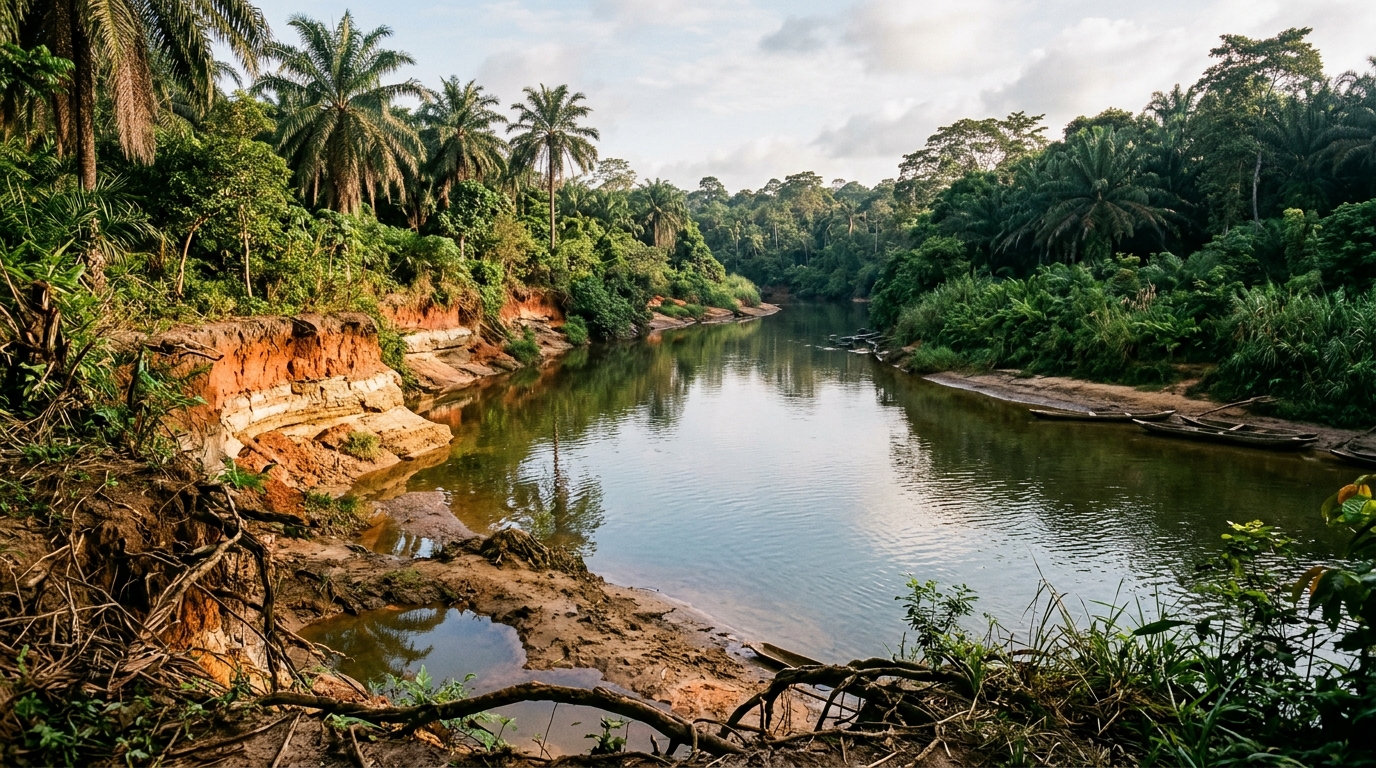
An integrated geophysical, geological, and hydrogeological investigation across the Ewohimi–Igueben–Ubiaja corridor in Edo State, Nigeria, has mapped a complex multi-aquifer system and clarified the primary mechanisms governing subsurface water movement. Simultaneously, stream hydrograph separation and groundwater contour evaluations revealed that groundwater baseflow accounts for more than 70 percent of total river discharge, demonstrating a sustained hydraulic connection between subterranean reservoirs and regional surface channels. These findings establish an empirical framework for sustainable groundwater management across an area historically hampered by unexplained borehole failures and acute water shortages.
The investigation addresses acute water security challenges across an area of approximately 606 square kilometers bounded by latitudes 6° 25′ N to 6° 40′ N and longitudes 6° 12′ E to 6° 30′ E. This territory encompasses several prominent population centers, including Ewohimi, Ewatto, Igueben, Ugbegun, and Okhordua, and extends marginally into neighboring Delta State. Situated within the tropical rainforest belt of southern Nigeria, the region experiences a tropical climate governed by a dry season running from November to March and a rainy season lasting from April to October, punctuated by a brief August lull termed the little dry season. Over the past decade, average annual rainfall recorded across the zone reached approximately 1,606.46 millimeters along an observable declining trend, while annual evapotranspiration exceeded 1,400 millimeters. Despite substantial atmospheric moisture input, persistent water scarcity affects domestic, agricultural, and industrial activities, forcing local populations to rely primarily on rainwater collection, hand-dug wells, and untreated perennial streams.
Landscape morphology strongly dictates subsurface water distribution and borehole success rates across the surveyed terrain. Surface elevation varies substantially, rising from approximately 96 meters at Emu and Uokhuen along the Utor River valley to elevations exceeding 250 meters above sea level across plateau surfaces at Igueben and Ekehken. The study observed that groundwater exploration achieves notably higher success rates in valley bottoms and low-lying topography because these locations correspond to natural groundwater discharge zones where the water table is comparatively shallow. Converging subterranean flow paths and favorable hydraulic gradients enhance water accumulation in valleys, enabling boreholes to intercept productive aquifers at economically feasible depths. Conversely, upland plateau sectors exhibit deep water tables and thick unsaturated vadose zones, requiring deep drilling to penetrate productive horizons.
The regional stratigraphic framework is situated within the Niger Delta Basin and comprises the Middle Eocene Ameki Formation, the Oligocene–Miocene Ogwashi-Asaba Formation, and the overlying Coastal Plain Sand of the Benin Formation, underlain conformably to the south by the Paleocene Imo Shale. Geological mapping and lithological correlation resolved longstanding stratigraphic discrepancies regarding cross-bedded sandstone units in local outcrops. Although recent mapping by the Nigerian Geological Survey Agency attributed some sandstone exposures to the Cretaceous Ajali Sandstone of the neighboring Anambra Basin, the research team demonstrated that cross-bedding is not diagnostic of the Ajali Formation alone. Fluvial-deltaic processes within both the Ameki and Ogwashi-Asaba Formations produced identical sedimentary structures. Furthermore, borehole logs and outcrop examinations confirmed that the observed sandstone units are interbedded with dark clays and lignite seams, a lithological association inconsistent with the clean, friable, quartz-rich sandstones typical of the Ajali Formation, confirming that sandstone accounts for over 55 percent of the Ameki and Ogwashi-Asaba successions.
The presence of extensive lignite seams within the sedimentary sequence emerged as a primary factor behind historic drilling complications across the axis. Field data and borehole logs revealed that lignite beds occur at depths ranging from 20 to 143 meters below the surface. When penetrated during rotary borehole drilling, these friable carbonaceous layers frequently trigger substantial drilling fluid circulation losses and cause drilling pipes to clog or stick. In addition to creating technical drilling hazards, these lignite horizons and associated clay lenses act as semi-confining and confining hydrogeological barriers.
To delineate subsurface stratigraphy and map aquifer architecture across the terrain, researchers conducted comprehensive surface geophysical investigations using the Vertical Electrical Sounding method. The team occupied a total of 24 VES stations strategically distributed across communities exhibiting documented records of borehole success and failure. Electrical resistivity soundings were acquired using ABEM Terameter SAS 1000 and SAS 4000 instruments configured with the standard Schlumberger electrode array. Current electrode half-spacings (AB/2) were progressively expanded up to 600 meters, achieving the profound depth penetration required to evaluate deep aquifer horizons across both lowlands and plateau elevations. Acquired field curves underwent systematic quality screening to remove observational outliers before undergoing quantitative interpretation. Researchers utilized forward and inverse computer modeling algorithms in IP2WIN and Interpret VES 2.0 software, refining initial layer parameters derived from curve matching to minimize root mean square errors between observed sounding data and theoretical layered-earth responses, calibrated against direct borehole lithological logs.
Inversion modeling resolved six to nine geoelectric layers beneath the surface, revealing a heterogeneous sedimentary sequence composed of clay, sand, sandy clay, lignite, and sandstone units. In geoelectrical profiles, low-resistivity layers delineate clay beds, carbonaceous shales, and lignite horizons, which act as confining or semi-confining aquitards separating permeable units. Conversely, thicker zones exhibiting elevated resistivity correspond to water-bearing sand and sandstone horizons that constitute the primary aquifer reservoirs. Integrating these sounding curves with borehole correlation panels enabled the construction of regional geoelectric cross-sections and stratigraphic fence diagrams using RockWorks software. Calibrating surface resistivity variations directly against physical drillers’ records successfully overcame the interpretive ambiguity that previously hindered exploration in areas where clay, lignite, and water-saturated sands display overlapping resistivity signatures.
Spatial analysis of the integrated datasets indicated that the depth to the main productive aquifer varies between 69 and 150 meters across the region. Shallow aquifer occurrences spanning 69 to 120 meters are concentrated within low-lying valley areas, including Uokhuen, Uburubu, Orekhie, and sections of Emu and Ulogua–Okhordua. Conversely, deeper aquifer zones extending from 120 to 150 meters occur on elevated plateau surfaces around Okaigben, Ewatto, Okhordua, and Ugun. In addition to the deep regional aquifer, discontinuous clay lenses support localized perched aquifers that supply shallow hand-dug wells. These perched reservoirs exhibit notable geographic yield variability, providing reliable water supplies in communities such as Igueben, Ebudin, Ugbegun, Ebelle, Ubiaja, and Ewossa. However, shallow perched aquifers are absent or yield poorly in southeastern settlements like Ewohimi, Ewatto, and Okhordua, where shallow groundwater preferentially discharges into adjacent river valleys, leaving little local storage available for shallow abstraction.
Aquifer hydraulic characteristics and potential yields were evaluated through controlled pumping tests conducted on selected production boreholes across the corridor. Incorporating both newly acquired field data and archived records from the Benin-Owena River Basin Development Authority, tests were executed under constant-discharge conditions for durations of at least 23 hours to capture stable aquifer responses, followed by recovery measurements. Analyzing drawdown responses via the Cooper–Jacob straight-line method revealed transmissivity values ranging between 8.626 and 35.564 square meters per day, confirming moderate to high aquifer productivity. Specific tests documented transmissivity values of 8.626 square meters per day with an abstraction rate of 27.3 cubic meters per hour at Ebelle, 22.386 square meters per day with a yield of 17.33 cubic meters per hour at Ewohimi, and 35.564 square meters per day supporting 33.2 cubic meters per hour at Igueben, while regional borehole discharge rates reached up to 44.60 cubic meters per hour.
Hydrological monitoring along the Utor River drainage basin provided compelling evidence of active groundwater–surface water interaction. A Van Essen automated pressure logger installed at Ebu recorded hourly water stage and temperature over an 18-month duration, capturing integrated outflows from the perennial Ella and Iyagun rivers. Twice-monthly flow velocity surveys conducted with a Valeport current meter established reliable stage–discharge rating curves, documenting discharge rates of 7.717 to 15.621 cubic meters per second along the Ella River and 3.984 to 6.894 cubic meters per second along the Iyagun River. Hydrograph separation executed using the Minimum Method over a 2N-day analytical window revealed that baseflow sustains 76 percent of total streamflow, with baseflow contributing 0.98 × 10⁹ cubic meters out of a total discharge volume of 1.29 × 10⁹ cubic meters. Corroborated by equipotential contours showing flow convergence toward riverbeds, these results confirm that local streams operate as gaining channels fed continuously by regional aquifers.
Subject of Research: Hydrogeological and geophysical characterization of multi-aquifer systems in Edo State, Nigeria
Article Title: Aquifer characterization and subsurface geology of the Ewohimi–Ewatto–Igueben–Ubiaja Axis Edo State Nigeria
Article References: Omozeje, E. F., Igbinigie, N. S., & Omorogieva, O. M. (2026). Aquifer characterization and subsurface geology of the Ewohimi–Ewatto–Igueben–Ubiaja Axis Edo State Nigeria. Discover Geoscience, 4(1), Article 442. https://doi.org/10.1007/s44288-026-00799-6
Image Credits: AI Generated
DOI: 10.1007/s44288-026-00799-6
Keywords: Hydrogeology, Geophysics, Vertical Electrical Sounding, Aquifer Characterization, Edo State, Baseflow Separation, Transmissivity, Groundwater Management, Aquifer, characterization, subsurface, geology
Cite Scienmag News
Violet Maxwell. (November 8, 2026). Integrated Study Maps Deep Aquifers and River Interactions in Edo State. Scienmag. https://scienmag.com/integrated-study-maps-deep-aquifers-and-river-interactions-in-edo-state/
Violet Maxwell. "Integrated Study Maps Deep Aquifers and River Interactions in Edo State." Scienmag, 8 November 2026, https://scienmag.com/integrated-study-maps-deep-aquifers-and-river-interactions-in-edo-state/. Accessed 16 November 2026.
Violet Maxwell. "Integrated Study Maps Deep Aquifers and River Interactions in Edo State." Scienmag. November 8, 2026. https://scienmag.com/integrated-study-maps-deep-aquifers-and-river-interactions-in-edo-state/




