In the ever-evolving field of soil science and environmental monitoring, accurately measuring soil water status remains a critical challenge. Recent advancements have introduced innovative technologies, but a breakthrough study led by Mu, Tang, Cheng, and their colleagues published in Environmental Earth Sciences promises to revolutionize the way scientists capture soil surface suction data. Their novel approach employs infrared thermal imaging technology to generate detailed two-dimensional maps of soil suction, offering unprecedented spatial resolution and accuracy. This technique not only provides valuable insights for researchers but also holds transformative potential for agriculture, hydrology, and land management.
Traditional methods of measuring soil suction—often relying on tensiometers or psychrometers—are typically limited to point measurements and suffer from practical constraints when attempting to capture spatial variability across uneven, heterogeneous soil surfaces. These classical approaches demand intrusive sensors inserted into the soil, which can disturb natural soil structure and fail to depict the dynamic interactions at the soil-atmosphere interface. Against this backdrop, the compelling innovation showcased in this study leverages thermal inertia and infrared radiation patterns emitted naturally by soil surfaces to infer suction values across expansive plots.
The scientific basis for this method hinges on the principle that soil moisture content affects soil temperature dynamics. When soil evaporates water, latent heat loss creates temperature fluctuations detectable by sensitive infrared cameras. By meticulously correlating the thermal emission data with soil water potential parameters, the research team reconstructs a two-dimensional map of soil suction. This correlation allows them to transform thermal infrared images into precise spatial representations of suction, which traditionally could only be gleaned via laborious point-based sampling.
To develop and validate this method, the researchers conducted controlled experiments under various moisture regimes, soil textures, and atmospheric conditions. They installed high-resolution thermal cameras to continuously monitor soil surface temperature heterogeneity and paired these measurements against conventional suction sensor readings. Their results demonstrated a tight coupling between soil surface temperature variations observed in the infrared spectrum and independently measured suction values, enabling calibration of the thermal signals to accurately predict soil water potential.
Notably, this technique provides real-time data acquisition capabilities without soil disturbance, opening doors for continuous monitoring of soil water dynamics under natural conditions. Its ability to capture the heterogeneity inherent to field soils at multiple spatial scales is a landmark improvement over existing methods. The imaging technology, combined with advanced image processing algorithms, can differentiate subtle suction gradients that are critical in understanding plant-water availability, soil evaporation rates, and hydrological fluxes.
Beyond its scientific elegance, the practical implications of this method are profound. Farmers and land managers can deploy portable thermal cameras to monitor soil moisture stress over entire fields, enabling site-specific irrigation decisions that optimize water use efficiency. This can lead to substantial conservation of water resources and enhancement of crop yields in the face of growing climate variability. Additionally, environmental scientists can better assess soil-atmosphere exchanges that govern microclimates and influence local weather patterns.
Furthermore, the spatial resolution afforded by the technique enables the study of soil heterogeneity impacts on root zone water availability and nutrient mobility. Understanding these micro-scale variations is crucial for predicting plant growth responses and for managing ecosystems in a sustainable manner. The method’s non-intrusive nature also safeguards natural soil conditions, providing researchers with an authentic window into undisturbed soil processes.
The study also delves into the technical calibration strategies necessary for accurate data interpretation. Factors such as soil emissivity, surface roughness, vegetation cover, and atmospheric interference are meticulously accounted for. By developing comprehensive correction algorithms, the researchers ensure that thermal measurements translate reliably into soil suction values across diverse field environments. These advancements reflect a careful balance between sophisticated instrumentation and practical deployment considerations.
Moreover, the adaptability of infrared thermal imaging means this technology could be integrated with remote sensing platforms such as drones or satellites, extending its reach beyond ground-based measurements. Such scalability would allow researchers to monitor large and inaccessible terrains, advancing the study of soil-water interactions on regional or even global scales. Coupled with machine learning techniques, datasets acquired through thermal imaging could usher in a new era of predictive soil moisture modeling.
While this technique represents a significant leap forward, the authors acknowledge ongoing challenges for universal application. Variations in soil mineralogy, surface salinity, and organic matter content can influence thermal properties, necessitating site-specific calibration for optimal precision. Also, natural phenomena such as dew formation and rainfall events pose complexities that require further methodological refinement. Nonetheless, the researchers have laid robust groundwork for iterative improvements.
Importantly, this innovation emerges at a time when global environmental stressors underscore the urgency of precise water management. Land degradation, desertification, and shifting precipitation patterns have made reliable soil water status monitoring indispensable for sustaining agriculture and preserving ecosystems. The marriage of infrared thermal imaging with soil suction measurement stands as a beacon of interdisciplinary progress capable of addressing these critical challenges.
The collaborative efforts underscored by this research unify expertise spanning soil physics, thermal imaging technology, environmental engineering, and data sciences. This synergy illustrates how converging domains can create disruptive solutions to entrenched measurement problems, ultimately enhancing scientific understanding and societal benefit. As such, the work by Mu and colleagues exemplifies the kind of innovation needed to tackle twenty-first-century environmental issues.
Looking forward, the integration of this method with wireless sensor networks and Internet of Things (IoT) technologies may further enhance its utility. Autonomous systems could continuously relay soil suction maps to farmers and environmental monitors in real-time, facilitating data-driven decisions with minimal manual intervention. This digitization of soil monitoring aligns with broader trends toward smart agriculture and precision environmental management.
In summary, the technique introduced by Mu, Tang, Cheng, et al. marks a paradigm shift in the measurement of soil suction, employing cutting-edge infrared thermal imaging to deliver two-dimensional, high-resolution data without soil disturbance. Its potential applications cut across agriculture, ecology, hydrology, and climatology, underpinning the sustainable management of vital soil and water resources. As this technology matures and proliferates, it is poised to become an indispensable tool in environmental research and land stewardship worldwide.
Subject of Research: New methods for measuring soil surface suction using infrared thermal imaging technology.
Article Title: A new method for 2D soil surface Suction measurement using infrared thermal imaging technology.
Article References:
Mu, W., Tang, CS., Cheng, Q. et al. A new method for 2D soil surface Suction measurement using infrared thermal imaging technology. Environ Earth Sci 84, 341 (2025). https://doi.org/10.1007/s12665-025-12348-4
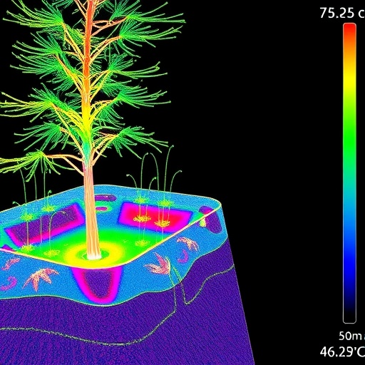
Image Credits: AI Generated
