


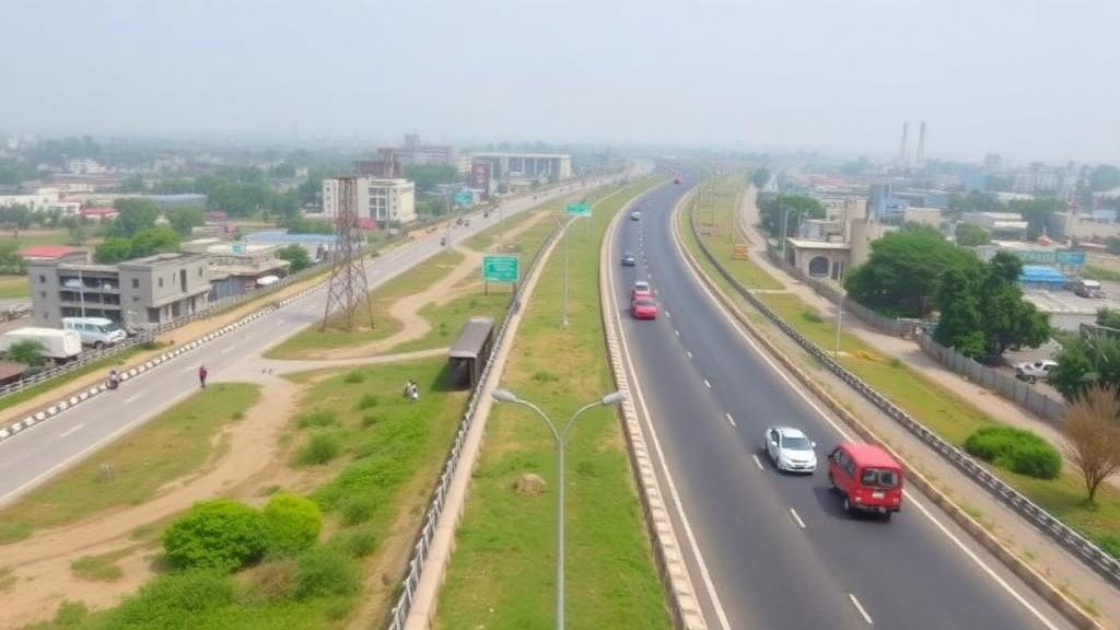
A single highway is quietly redrawing the economic map of northern India. New research on the NH-48 corridor, the arterial road that runs from Gurugram in Haryana down to Behror in Rajasthan, shows that industrial development in the National Capital Region is not spreading evenly across the landscape but collapsing into a narrow band hugging the asphalt. The study, published in Discover Cities, quantifies for the first time how tightly factory location follows highway access in a South Asian corridor economy, and how decades of policy reform have amplified that dependence.
The research team, led by Brahampal Yadav of the Central University of Haryana, examined a 127-kilometre stretch of the corridor that links the booming urban centres of Gurugram, Manesar, Dharuhera, Bawal, Bhiwadi and Neemrana. Using industrial registers maintained by the District Industrial Centres of Gurugram, Rewari and Alwar, the researchers built a spatial database of every registered large-scale and medium-scale unit established between the pre-reform era and 2025. They then overlaid these locations onto a geographic information system and measured how industrial density changed with distance from the highway itself.
The headline finding is strikingly simple: factories cluster where the road is. More than half of all large-scale industries along the corridor sit within the first two kilometres of the NH-48 centre line, and density falls off exponentially beyond that point. Fitting the data to an exponential decay model, the team found that large enterprises show a decay coefficient of 1.57, meaning their presence drops off extremely sharply with each additional kilometre from the highway. The model explained 98.8 percent of the variance in observed large-scale industrial density, an unusually strong fit for spatial data. Medium-scale industries behave differently, with a gentler decay coefficient of 0.68 and a distribution that extends meaningfully out to about seven kilometres from the road.
That two-tiered spatial structure is not an accident, the authors argue, but the visible outcome of competing economic forces. Large anchor firms, particularly in automotive manufacturing, depend so heavily on freight logistics that they pay a premium for highway frontage. Medium and ancillary suppliers, meanwhile, are squeezed outward by rising land rents near the road but pulled back by the need to remain within supply-chain reach of their larger customers. The result is a secondary industrial ring in the three-to-seven-kilometre zone, where cheaper land and secondary road connections allow smaller firms to balance cost against accessibility. The researchers note that similar dual-force dynamics have been documented in Shanghai, in Canada, and along Mexico’s northern border maquiladora belt, suggesting the pattern is a general feature of corridor-based industrialisation rather than an Indian peculiarity.
The historical dimension of the study reveals how policy shaped this geography. Before India’s 1991 liberalisation, industrial activity along the corridor was sparse and unplanned. Gurugram hosted just twelve major industries, Maruti Suzuki’s 1973 arrival had seeded only scattered automotive suppliers, and towns like Dharuhera and Bawal remained largely agrarian. In Rajasthan, Bhiwadi was only beginning to industrialise under early initiatives of the Rajasthan Industrial Investment and Development Corporation, while Neemrana was still essentially a farming settlement. Growth in this era depended on proximity to Delhi rather than coordinated state policy.
Liberalisation changed everything. After the reforms of 1991 unleashed private and foreign investment, Gurugram’s large industries more than doubled, rising from twelve to twenty-six between 1991 and 2001 following the release of Haryana’s industrial policy. Haryana recorded industrial growth of 6.71 percent per annum in the 1990s, above the national average of 6.03 percent. The following decade brought consolidation: the announcement of the Delhi-Mumbai Industrial Corridor and a wave of Special Economic Zones drove an unprecedented 46 new industries into Bawal and Dharuhera alone, while Neemrana’s Japanese Industrial Zone, established in 2006, drew investors from Japan and South Korea. Between 2011 and 2025, the corridor matured, with large-scale growth stabilising in established hubs while medium and ancillary industries diffused into peripheral zones.
The exponential growth modelling also revealed a clear southward diffusion of industrial momentum. Rewari recorded the highest annual industrial growth rate at 0.0846, followed by Neemrana at 0.0828 and Bhiwadi at 0.0732, while Gurugram’s lower rate of 0.0649 reflects its transition into a mature economy dominated by information technology and services. This redistribution, the authors suggest, represents a trickle-down effect in which peripheral regions absorb industrial spillovers from the original core nodes. The emergence of seven new census towns by 2011, including Manesar, Garhi Harsaru and Bhondsi in Gurugram district and several in Rewari, further illustrates how industrial employment has pulled populations and urban functions into previously rural areas.
Urbanisation and industrialisation proved to be mutually reinforcing. Between 1991 and 2001, Gurugram’s population grew by 67.9 percent and Rewari’s by 39.5 percent, while Dharuhera surged by 74.2 percent as it developed into a supporting node for both industry and residence. The following decade saw even larger gains in Gurugram and Bhiwadi, driven by urban spillover from industrial employment. As the pool of skilled labour expanded, it in turn attracted new investment, creating the cumulative causation that theorists from Myrdal to Krugman have long described. The study’s framework draws on Weber’s least-cost location theory, agglomeration economics, growth pole theory and New Economic Geography, but the authors conclude that classical models must be supplemented by an understanding of state-directed estate development through agencies like HSIIDC and RIICO to explain industrial space in a South Asian context.
The policy implications are significant. The self-reinforcing nature of agglomeration means investment flows to places where investment already exists, deepening the divide between the highway belt and its hinterland, and between the corridor’s mature northern nodes and its less developed southern ones. The researchers argue that the long-term sustainability of the Delhi-Mumbai Industrial Corridor framework depends on deliberate multi-nodal growth planning, with infrastructure investment and industrial incentives directed beyond the highway’s immediate buffer zones. Without such intervention, the exponential decay curves documented here will continue to describe not just factory locations but the distribution of economic opportunity itself.
The study also acknowledges its limits. The analysis relies on secondary administrative records and does not capture firm-level productivity, environmental performance or informal industrial activity, and the buffer approach cannot fully explain every industrial location decision. The specific distance thresholds identified for NH-48 should be treated as context-specific until tested on other corridors in India and across the developing world. Still, the decay coefficients presented here offer some of the few quantitative measures of highway-proximity effects along an Indian industrial corridor, and they make a compelling case that the geography of manufacturing in the National Capital Region is as much an institutional artefact of policy choices as it is a market outcome. For planners hoping to spread the benefits of corridor-led growth more equitably, the message is clear: the road alone will not carry industry to the periphery.
Subject of Research: Spatial and temporal evolution of industrial clustering along the NH-48 highway corridor in India's National Capital Region
Article Title: How highway proximity and policy reforms shape industrial space across urban areas along India’s NH-48 corridor in the National Capital Region
Article References: Yadav, B., Kanav, A., & Kumar, J. (2026). How highway proximity and policy reforms shape industrial space across urban areas along India’s NH-48 corridor in the National Capital Region. Discover Cities, 3(1), Article 171. https://doi.org/10.1007/s44327-026-00357-2
Image Credits: AI Generated
DOI: 10.1007/s44327-026-00357-2
Keywords: NH-48 corridor, National Capital Region, industrial clustering, distance decay, economic liberalisation, Delhi-Mumbai Industrial Corridor, agglomeration economies, urbanisation, industrial policy, Gurugram, spatial analysis, corridor development
Cite Scienmag News
Courtney Benton. (October 1, 2026). Highway Proximity and Policy Reforms Drive Industrial Clustering Along India’s NH-48 Corridor. Scienmag. https://scienmag.com/highway-proximity-and-policy-reforms-drive-industrial-clustering-along-indias-nh-48-corridor/
Courtney Benton. "Highway Proximity and Policy Reforms Drive Industrial Clustering Along India’s NH-48 Corridor." Scienmag, 1 October 2026, https://scienmag.com/highway-proximity-and-policy-reforms-drive-industrial-clustering-along-indias-nh-48-corridor/. Accessed 4 October 2026.
Courtney Benton. "Highway Proximity and Policy Reforms Drive Industrial Clustering Along India’s NH-48 Corridor." Scienmag. October 1, 2026. https://scienmag.com/highway-proximity-and-policy-reforms-drive-industrial-clustering-along-indias-nh-48-corridor/


