


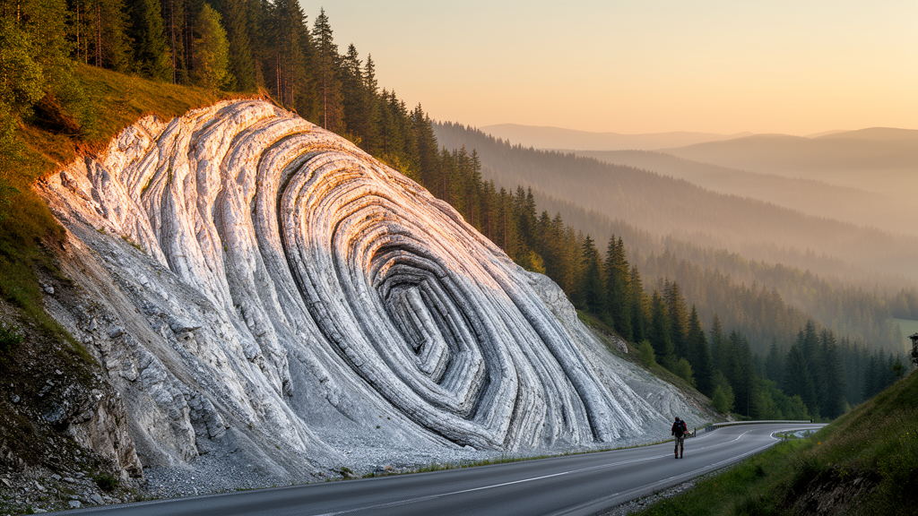
Beneath the rolling pastures of the highest summit in the Swiss Jura, Mont Tendre, geologists have now pieced together one of the most detailed pictures yet of how this famous fold-and-thrust belt actually works. A new study published in the Swiss Journal of Geosciences combines fresh fieldwork, remote sensing, the reinterpretation of a deep borehole drilled more than six decades ago and state-of-the-art 2D kinematic forward modelling to reveal a hidden architecture of nappes, thrust flats and backthrusts. The results show that the Mont Tendre and Mont Risoux anticlines are not isolated folds but parts of a single, remarkably continuous tectonic unit, the Mont Risoux nappe, which was shoved some 17 kilometres along a thrust whose flat lies buried in Cretaceous clays for an astonishing 15 kilometres.
The Jura Mountains form the crescent-shaped outermost fringe of the Alpine orogenic wedge, stretching from southern Germany across northern Switzerland into eastern France. Unlike the crystalline heart of the Alps, the Jura is a classic thin-skinned fold-and-thrust belt: its sedimentary cover was peeled off its rigid basement along a weak décollement level hosted in the salt-rich evaporites of the Triassic Keuper Group, up to 500 metres thick. Because the salt deforms plastically at low temperatures and pressures, basal friction is minimal, allowing the cover to slide and fold far into the foreland. This mechanical setting, first recognised in the early twentieth century, is what allows the Jura to be explained as a critically tapered wedge that must deform to stay in equilibrium as the Alps push from behind.
The study area lies in the Internal Jura, the most strongly deformed domain of the belt, spanning the Canton of Vaud in western Switzerland and the Jura Department in eastern France. The 26-kilometre cross-section constructed by the researchers runs from the Swiss Plateau across the Col de Marchairuz, through the topographically high Vallée de Joux, over Mont Risoux and Mont Noir, and down to Foncine-le-Haut in the Vallée de la Saine of France. Along its southern portion the profile crosses the Mont Tendre anticline, which at 1679 metres above sea level is the highest point of the entire Swiss Jura. The section was built from bedding measurements collected during fieldwork, harmonised geological map sheets from swisstopo and the BRGM, digital elevation models, vintage seismic profiles shot in the 1970s and the log of the Risoux-1 deep well, the oldest deep well in the Jura fold-and-thrust belt.
That well, drilled on the Mont Risoux anticline to a final depth of 1958 metres, provided the first evidence for thrust repetitions of the Mesozoic cover in the Jura. The new interpretation identifies a main regional thrust at 1234 metres below the surface, where Liassic clays are thrust on top of Malm limestones, with a vertical displacement of some 1350 metres. The researchers identify this structure as the Vallée de la Saine thrust, the principal thrust of the study area. Above it, the well records a secondary detachment within the Liassic Staffelegg Formation and Opalinus Clay at 975 metres, plus minor intra-Dogger and intra-Malm thrusts, and a further secondary detachment at 453 metres. These clay-rich Lower to Middle Jurassic levels act as secondary décollements, generating kilometre-long flats, fishtail geometries and pop-up structures in the structurally higher units.
The Vallée de la Saine thrust itself roots below the Mont Tendre anticline and outcrops 15 kilometres to the northwest in the Vallée de la Saine syncline. Its enormous thrust flat is hosted in the marly layers of the Cretaceous Vuache Formation, meaning that almost the entire Jurassic to Cretaceous cover was duplicated during its 17 kilometres of displacement. Seismic profiles show continuous, horizontal reflections above the crystalline basement beneath the well, ruling out the multiple ramps proposed in earlier interpretations and supporting a single flat detachment linked to one ramp beneath Mont Tendre. The researchers also propose that the Keuper evaporites are tectonically cut off and pinch out between the Mont Tendre anticline and the Risoux-1 well, a refinement of the wedge geometry near the top of the mechanical basement.
To test whether this architecture is kinematically viable, the team built a balanced 2D forward model of the section from the Molasse Basin to the Vallée de Joux using the MOVE software. The model starts from an undeformed layer cake resting parallel to the gently south-dipping basement and deforms it step by step through eight stages, applying algorithms such as Fault Bend Fold, Fault Parallel Flow, Trishear and wedge modelling. Each step activates only one fault, preserves bed length and stratigraphic thickness, and conserves the area of deformed rock, ensuring the model remains balanced. Because the software cannot directly model simple backthrusts with the Trishear algorithm, the authors applied a two-step trick: the cover is first translated towards the foreland with Fault Parallel Flow, then transferred towards the hinterland with Trishear by the same displacement.
The forward model reveals a striking sequence. First, the Vallée de la Saine thrust activates, generating 17 kilometres of shortening and duplicating nearly the whole post-Triassic cover to form the Mont Risoux nappe. Next, the Vallée de Joux thrust rises, folding the cover into the Mont Tendre anticline and dissecting the nappe into a southeastern sub-unit, the Mont Tendre nappe. What follows is a backstepping sequence and a locally oscillating thrust sequence, in which wedge modelling produces the alternating minor anticlines and synclines that give the Mont Tendre structure its complex internal geometry. Reactivation of the Vallée de la Saine thrust, together with two hinterland-directed backthrusts and a basal imbrication, steepens the fold limbs and sharpens the minor folds. The total shortening accommodated by the Mont Tendre anticline structure amounts to 20.85 kilometres.
The prominence of top-to-the-south thrusting, or backthrusting, is one of the study’s most significant findings. The authors show that this hinterland-directed deformation is a natural corollary of a low-tapered wedge whose décollement lies in weak evaporites. In such a mechanically feeble setting, the wedge cannot steepen enough through forward thrusting alone, so material is instead expelled back towards the hinterland along backthrusts. This interpretation ties the local structural detail directly to the classical critical taper mechanics of Davis and Engelder, demonstrating that the peculiar deformation style of the Jura is governed by the extraordinary weakness of its Triassic salt substrate.
The nappes also reveal a clear lateral subdivision of the belt. Primary thrusts trend NE-SW, parallel to the cylindrical fold axes, while primary strike-slip faults cut across them in NNW-SSE and ESE-WNW orientations. These conjugate strike-slip systems, including the major sinistral Pontarlier and Morez fault zones and the dextral St-Cergue Fault Zone, bound the Mont Risoux and Mont Tendre structures laterally and indicate the general northwestward transport direction. The rose diagram analysis of fault orientations, contextualised with laboratory models of conjugate fault systems, confirms that the diagonal fracture families within the folds were later reactivated to host the major strike-slip movements.
Finally, the model proposes a kinematically viable chronology for the activation of the Vallée de la Saine thrust and the formation of the Mont Tendre anticline, which occurred between 14 and 4 million years ago and accommodated shortening of some 20 kilometres. This timing fits neatly with the initiation of detachment in the Northern Alpine Foreland around 16 to 14 million years ago, when the exhumation and imbrication of the External Crystalline Massifs drove the foreland cover northwards in the so-called Fernschub. The new cross-section and forward model thus embed the Internal Jura into the broader Alpine story, showing how the outermost fringe of the orogen absorbed its share of the collision between the European and Adriatic plates, one thrust, one flat and one backthrust at a time.
Subject of Research: Tectonics of the Mont Tendre and Mont Risoux (Internal Jura Mountains): mapping and 2D kinematic forward modelling
Article Title: Tectonics of the Mont Tendre and Mont Risoux (Internal Jura Mountains): mapping and 2D kinematic forward modelling
Article References: Ursprung, A., & Mosar, J. (2026). Tectonics of the Mont Tendre and Mont Risoux (Internal Jura Mountains): mapping and 2D kinematic forward modelling. Swiss Journal of Geosciences, 119, 249-272. https://doi.org/10.3897/sjg.119.197100
Image Credits: AI Generated
Keywords: Jura Mountains, fold-and-thrust belt, Mont Tendre, Mont Risoux, décollement, backthrusting, tectonic nappe, Vallée de la Saine thrust, kinematic forward modelling, Alpine foreland, Tectonics, Mont
Cite Scienmag News
Violet Maxwell. (October 15, 2026). Hidden Thrust Beneath the Swiss Jura Reveals a 20-Kilometre Squeeze. Scienmag. https://scienmag.com/hidden-thrust-beneath-the-swiss-jura-reveals-a-20-kilometre-squeeze/
Violet Maxwell. "Hidden Thrust Beneath the Swiss Jura Reveals a 20-Kilometre Squeeze." Scienmag, 15 October 2026, https://scienmag.com/hidden-thrust-beneath-the-swiss-jura-reveals-a-20-kilometre-squeeze/. Accessed 15 October 2026.
Violet Maxwell. "Hidden Thrust Beneath the Swiss Jura Reveals a 20-Kilometre Squeeze." Scienmag. October 15, 2026. https://scienmag.com/hidden-thrust-beneath-the-swiss-jura-reveals-a-20-kilometre-squeeze/


