Coastal rivers around the world experience a rhythmic rise and fall of water levels synchronized with oceanic tides, a phenomenon scientifically referred to as the tidal pulse. Unlike the commonly understood tidal influence confined to coastal areas, these fluctuations actually propagate far upstream into river systems, significantly impacting river dynamics. This tidal intrusion affects river flow, water quality, and sediment transport, creating complex hydrological environments. Despite its critical role in flood risk management and freshwater ecology, the global extent and variability of tidal pulse impact in rivers had remained largely uncharted—until now.
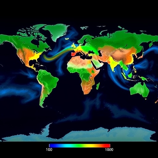
A groundbreaking effort led by researchers at the Technical University of Munich (TUM) has produced the first comprehensive global assessment of tidal pulses in coastal rivers. Utilizing cutting-edge satellite altimetry techniques, notably wide-swath satellite altimetry, this study maps tidal influences along more than 3,000 rivers across the globe. This novel approach capitalizes on high-resolution satellite data that tracks river water levels with unprecedented spatial and temporal precision. The data integration renders a detailed, global scale depiction of tidal reach and intensity, highlighting the magnitude of tidal pulse impact on inland waterways connected to coastal systems.
The implications of this research are profound. It reveals that over 725 million people worldwide live in areas influenced by tidal pulses in their local river systems. These expansive populations face heightened vulnerability to flooding events exacerbated by the tidal amplification of water levels far upstream. In particular, tidal pulses can intensify riverine floods during storm surges or heavy precipitation, stressing the critical need for accurate flood risk prediction models that incorporate tidal effects. The interactive global map generated by the team serves as a vital resource, enabling authorities and stakeholders to identify high-risk zones and formulate resilient flood management strategies.
Beyond immediate flood risks, understanding tidal pulse characteristics further supports the sustainable management of freshwater resources. Tidal fluctuations impact salinity intrusion, sediment deposition, and nutrient cycling within rivers. These processes affect water quality for drinking, irrigation, and ecosystem health. Quantifying tidal extent permits enhanced assessment of freshwater availability, especially in estuarine zones where saltwater encroachment threatens agricultural productivity and biodiversity. Hence, the data provides a foundation for integrated water resource planning that accommodates the dynamic interplay between riverine and marine systems.
Technically, the study’s methodology represents a significant advancement in remote sensing applications to hydrology. Wide-swath satellite altimetry platforms offer enhanced coverage and revisit rates compared to traditional nadir-point altimetry, enabling continuous observation of water level variations along river corridors. By analyzing tidal signature patterns over multiple months, the researchers isolated the tidal component from river discharge fluctuations. This approach allowed precise determination of tidal amplitudes and propagation distances upstream from river mouths. The resulting high-resolution dataset forms the most detailed tidal river pulse database to date.
Notably, the extent of tidal pulse propagation varies dramatically depending on river morphology, tidal range, and geomorphologic setting. For instance, the Amazon River exhibited tidal influence reaching remarkable distances up to 892 kilometers inland. Such far-reaching tidal effects underscore the complex hydraulic connectivity between ocean tides and continental river networks, challenging traditional assumptions that tidal impact remains confined to proximal estuarine zones. Recognizing these long-distance tidal penetrations is crucial for regional hydrodynamic modeling and ecological studies.
The influence of tides within riverine systems also interacts dynamically with longer-term processes such as sea level rise driven by climate change. As global mean sea levels continue to ascend, the tidal pulse extent and amplitude in coastal rivers are expected to evolve, potentially exacerbating inland flood risks and saltwater intrusion challenges. The comprehensive data generated provides a baseline against which future tidal changes can be measured. This capacity to monitor temporal shifts in tidal river systems globally equips policymakers with foresight necessary for climate adaptation strategies and protective infrastructure design.
Furthermore, the newly established global tidal pulse map fosters interdisciplinary research opportunities that span geophysics, oceanography, and environmental engineering. The intersectional insights enable a holistic understanding of coastal zone dynamics where terrestrial and marine processes converge. Incorporating tidal river pulses into hydrodynamic models enhances forecast accuracy for river discharge, sediment transport, and contaminant dispersion. Such integrative modeling is instrumental for effective environmental management, urban planning, and disaster preparedness in coastal municipalities.
The study, published in the esteemed journal Nature, represents an essential milestone bridging satellite remote sensing and fluvial science. Lead researcher Michael Hart-Davis from the Deutsches Geodätisches Forschungsinstitut at TUM emphasizes the transformative potential of this work: tracking where, when, and to what extent tides propagate inland via rivers provides critical knowledge for societies to anticipate flood hazards and manage vital freshwater resources in the face of global environmental change.
Going forward, the research team aims to refine their dataset by incorporating emerging satellite constellations with improved temporal resolution and enhanced sensor capabilities. Integration with ground-based hydrological measurements will also support validating and calibrating the tidal pulse models, further strengthening predictive power. The interactive tidal pulse map is intended as a dynamic tool for ongoing data assimilation, stakeholder engagement, and scientific inquiry.
Ultimately, the revelation that wide-ranging river sections globally are subject to tidal modulation fundamentally reshapes our understanding of coastal river hydrodynamics. This insight necessitates incorporating tidal pulse data into standard hydrological risk assessments and aquatic ecosystem management frameworks. By illuminating the hidden pulse of tidal rivers worldwide, this pioneering research offers an indispensable resource to support adaptive responses to both current challenges and future uncertainties in riverine and coastal environments.
Subject of Research: Tidal pulse influence in global coastal rivers and its hydrological, flood risk, and freshwater resource implications
Article Title: Observing the pulse of tidal rivers: A first global analysis from wide-swath satellite altimetry
Web References: 10.21203/rs.3.rs-6825606/v1
Image Credits: Tamlin Pavelsky / University of North Carolina
Keywords: Geodesy, Coastal zones, River tides, Tidal pulse, Flood risk, Wide-swath satellite altimetry, Hydrology, Freshwater availability, Sea level rise, Remote sensing, Estuarine dynamics, Climate change adaptation
