


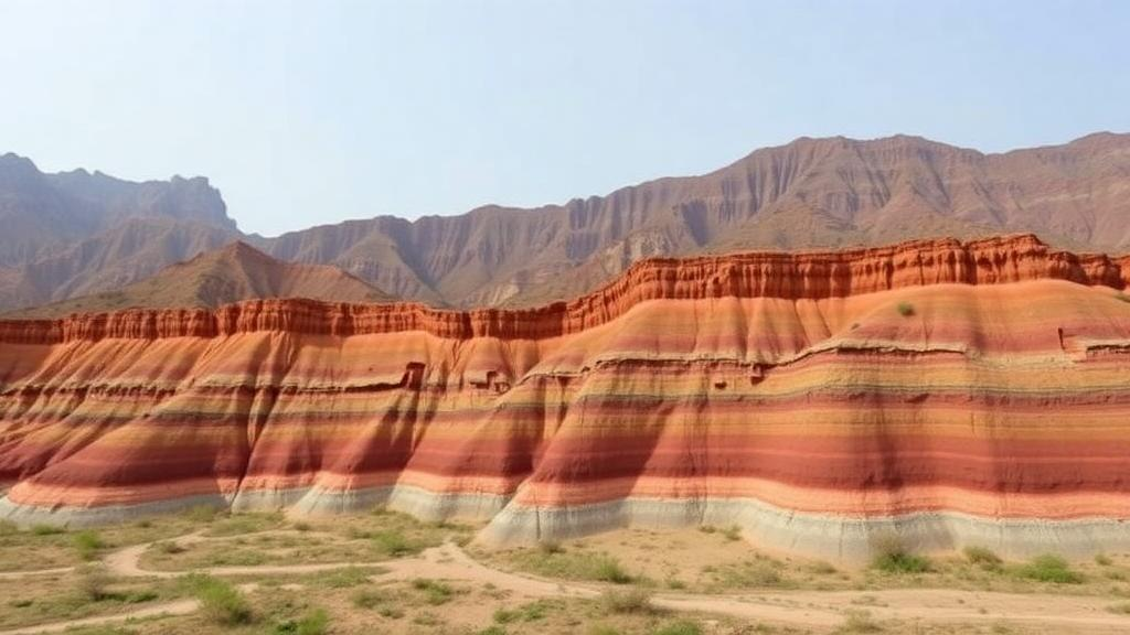
West Bengal is one of the few places on Earth where a traveler can move, within a few hundred kilometers, from the glaciers and steep valleys of the Eastern Himalaya down through piedmont fans, ancient plateau remnants, vast river plains and the shifting distributaries of the Ganges Delta to the open, wave-dominated coast of the Bay of Bengal. Each of these geomorphic provinces contains landforms that record millions of years of tectonic uplift, sediment transport and climate change. Yet until recently there has been no systematic, spatially explicit attempt to compare the scientific and touristic value of these natural archives side by side. A new study published in Discover Sustainability by Ujjwal Bhandari of Syamaprasad College and colleagues addresses that gap, applying a structured scoring framework to 42 representative geosites across the state and ranking them into clear priority groups for conservation and geotourism development.
The tool at the heart of the study is the Modified Geosite Assessment Model, or M-GAM, a quantitative method that evaluates geosites on two complementary dimensions. The Main Value (MV) captures intrinsic scientific and educational qualities: how representative a landform is of regional geomorphic processes, how rare it is, how well it records geological history, and how intact it remains. The Additional Value (AV) covers the practical and experiential attributes that determine whether a site can actually attract and serve visitors: accessibility, infrastructure, scenery, safety, and the presence of interpretive facilities. By separating what a site means from what a site offers, the model prevents spectacular but remote landforms from being judged by the same criteria as accessible viewpoints, and vice versa.
What distinguishes this application from earlier uses of the model is its dual-audience design. Experts scored each geosite on 27 standardized sub-indicators, but the researchers then modified those expert judgments with importance factors (Im) derived from visitors themselves. A structured survey collected opinions from 202 respondents, whose ratings of how much weight each attribute deserved were folded into the expert assessment. This is a meaningful methodological refinement: geotourism planning often fails because scientists and tourists value different things, and a ranking that ignores visitor priorities risks protecting sites nobody visits while promoting sites with little scientific substance. The visitor survey instrument showed acceptable internal consistency, with Cronbach’s alpha of 0.79 for the Main Value subscale and 0.84 for the Additional Value subscale, indicating that respondents answered in a coherent and reliable pattern.
The results reveal striking variability across the state’s inventory. Scores differed widely on all five attribute clusters the authors examined: scientific and educational value, scenic and aesthetic appeal, protection status, functional capacity, and touristic potential. Perhaps the most telling headline number is the comparison of the two value dimensions. The mean Additional Value score across the 42 geosites was 11.90, notably higher than the mean Main Value score of 8.53. In plain terms, the sites of West Bengal, on average, offer better functional and tourism-supporting conditions than their intrinsic scientific scores alone would suggest, and those practical attributes pull substantial weight in the final relative rankings. For planners, this means that infrastructure and access, not just geological significance, drive which sites rise to the top.
Using quartile-based thresholds within the study inventory, the team sorted the 42 geosites into three priority classes: 13 sites of relatively high priority, 18 of moderate priority, and 11 of low priority. This relative classification is deliberately comparative rather than absolute; a site’s rank depends on how it performs against the other sites in the same dataset, which makes the method well suited to allocating limited conservation and promotion budgets across a state-wide portfolio. The high-priority group represents the landscapes where scientific value, visitor experience and management readiness converge, and where investment in geotourism is most likely to pay both educational and economic dividends.
Correlation analysis of the model’s components added quantitative texture to these patterns. Accessibility correlated strongly with visitor numbers (r = 0.74), a relationship that will surprise no one who has watched a well-paved viewpoint outdraw a more remarkable but unreachable landform. The correlation between the touristic component and Additional Value was even stronger (r = 0.81), but the authors treat this figure with appropriate caution, because the touristic component is itself part of the Additional Value construct, making the association partly circular. This kind of statistical self-awareness is a strength of the paper: rather than presenting every correlation as a discovery, the authors flag which relationships are independent evidence and which are artifacts of how the model is built.
One of the most interesting analytical moves in the study is the direct comparison of expert and visitor assessments, which identifies sites where geomorphological significance and perceived importance either converge or diverge. Convergence suggests a site where scientific merit and public appeal reinforce each other, the ideal profile for flagship geotourism destinations. Divergence cuts both ways: some sites of genuine scientific importance score poorly with visitors, often because they lack the scenery, access or interpretation that makes geomorphology legible to non-specialists, while other visually spectacular sites may attract crowds without carrying exceptional scientific weight. Mapping these convergences and divergences gives managers a practical triage tool, showing where investment in trails, signage and interpretation could close the gap between what a landform is and what visitors think it is.
The geographic sweep of the inventory is itself a contribution. Geosite assessments have often focused on single provinces, a mountain range or a coastline, evaluated in isolation. By sampling across the Himalaya, the Sub-Himalayan piedmont, the plateau, the fluvial plains, the delta and the coast within one consistent framework, the study makes it possible to ask, for the first time in this region, which landscape types deliver the highest combined value. That matters for a state whose geomorphic identity is defined by this extraordinary gradient, and it matters for geotourism strategies that could link sites into itineraries tracing the full descent from high mountains to the sea.
The authors are candid about the uncertainties inherent in the approach. Visitor sampling may not represent the full population of potential tourists; expert scoring involves judgment calls; the weighting and aggregation of sub-indicators embed assumptions; and the quartile-based classification is relative, meaning a different inventory could reshuffle the ranks. None of these caveats undermines the core contribution, which is to demonstrate M-GAM as a comparative decision-support framework. The study was approved by the Institutional Ethics Committee of the Department of Geography at Syamaprasad College, conducted in accordance with the Declaration of Helsinki, and carried out with informed consent from all survey participants. The authors declare no competing interests, and the work received no external funding.
Published as an open-access article on 30 September 2026, the paper arrives at a moment when geotourism is gaining traction as a sustainable alternative to mass tourism in ecologically sensitive regions. For West Bengal, the practical implications are concrete: the 13 high-priority geosites form a ready-made shortlist for infrastructure investment, interpretation programs and heritage designation, while the divergent sites identified through the expert-visitor comparison point to where low-cost interventions such as signage and access improvements could unlock hidden value. More broadly, the study offers a template that other geomorphologically diverse regions, from Andean valleys to Rift Valley escarpments, could adapt. By putting numbers on the sometimes vague language of geoheritage, and by insisting that visitors have a formal voice in how landforms are valued, the research moves geosite assessment from description toward decision, and gives the landscapes of West Bengal a quantified case for the protection and promotion they have long deserved.
Subject of Research: Quantitative assessment and prioritization of geomorphosites for geotourism and geoheritage conservation in West Bengal, India
Article Title: Geomorphosite assessment and prioritization across diverse landscapes of West Bengal India using expert and visitor modified geosite assessment model
Article References: Bhandari, U., Mondal, S., Basak, I., Roy, M., Koley, B., Das, S., & Nath, A. (2026). Geomorphosite assessment and prioritization across diverse landscapes of West Bengal India using expert and visitor modified geosite assessment model. Discover Sustainability. https://doi.org/10.1007/s43621-026-04880-5
Image Credits: AI Generated
DOI: 10.1007/s43621-026-04880-5
Keywords: geomorphosites, geosites, geoheritage, geodiversity, geotourism, M-GAM, West Bengal, Eastern Himalaya, Ganges Delta, sustainable tourism, site assessment, geomorphology
Cite Scienmag News
Violet Maxwell. (September 30, 2026). From Himalaya to Coast: New Model Ranks West Bengal’s Most Valuable Geological Landscapes. Scienmag. https://scienmag.com/from-himalaya-to-coast-new-model-ranks-west-bengals-most-valuable-geological-landscapes/
Violet Maxwell. "From Himalaya to Coast: New Model Ranks West Bengal’s Most Valuable Geological Landscapes." Scienmag, 30 September 2026, https://scienmag.com/from-himalaya-to-coast-new-model-ranks-west-bengals-most-valuable-geological-landscapes/. Accessed 5 October 2026.
Violet Maxwell. "From Himalaya to Coast: New Model Ranks West Bengal’s Most Valuable Geological Landscapes." Scienmag. September 30, 2026. https://scienmag.com/from-himalaya-to-coast-new-model-ranks-west-bengals-most-valuable-geological-landscapes/


