


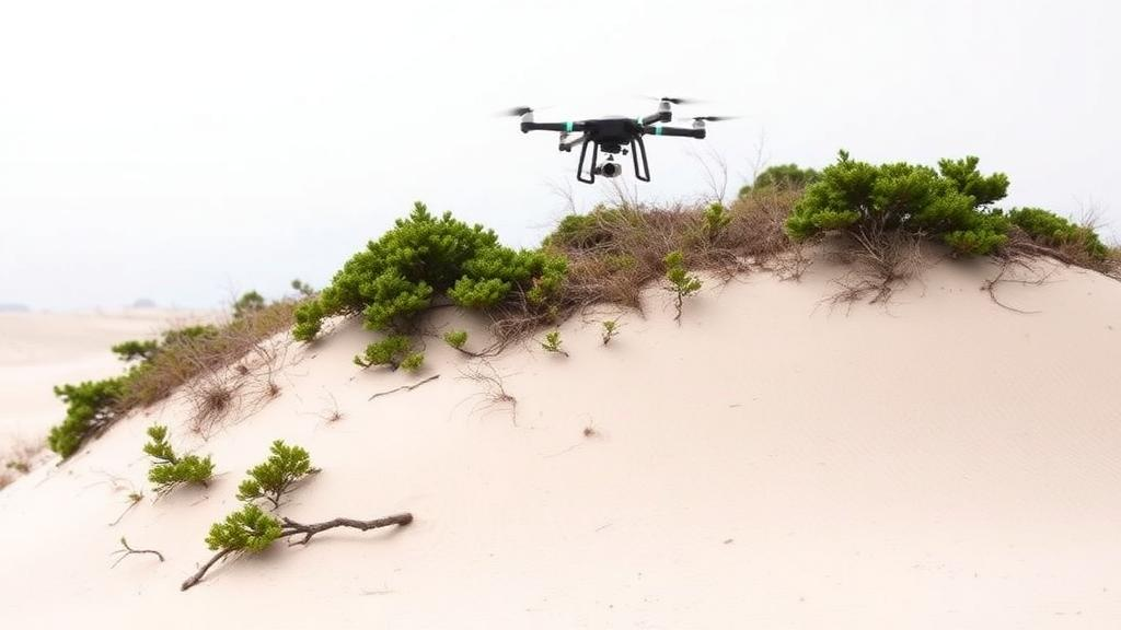
On a stretch of the Sea of Japan coast in Kyoto Prefecture, one of the country’s last highly natural dune systems is telling a story of slow, measurable decline. A new study of the Kumihama Dune, published in Environmental and Sustainability Indicators, combines more than a century of historical land-cover records with centimeter-scale laser scanning from a drone to quantify exactly how much of this fragile ecosystem has been lost, and where the remnants most worth saving now cling on. The results offer a template for how conservationists anywhere might diagnose the health of a dune landscape before it disappears.
Coastal dunes are among the most threatened ecosystems on Earth, squeezed between rising seas, intensifying erosion, tourism, and urban expansion. What makes them ecologically remarkable is their strict spatial order. Moving inland from the waterline, plants sort themselves into zones: an unfixed zone of shifting sand nearest the shore, a semi-fixed zone behind it, and finally a fixed zone of stabilized dune where the most sensitive species live. Because each zone depends on precise gradients of salt spray, sand movement, wind, and soil conditions, the fixed zone is the first casualty of development and the hardest to restore. Its loss ripples through the entire system, taking rare plants with it.
The research team, led by Yuki Yamanaka, Keiko Nagashima, and Yasutaka Nakata, focused on Juniperus conferta, a low-growing shrubby juniper that serves as the classic indicator species of the fixed dune zone across Hokkaido, Honshu, Shikoku, Kyushu, and Sakhalin. The species is listed as rare in ten Japanese prefectures and grows alongside threatened plants such as Viola grayi and Veronica ornata. The logic of the study is elegant: if you can map precisely where J. conferta survives and characterize the microtopographic conditions it requires, you gain a practical yardstick for identifying the remaining strongholds of the fixed zone, and by extension, the habitats of the rare species that depend on it.
The historical half of the analysis is sobering. Using an 1898 topographic map, United States military aerial photographs from 1947, and a 2009 aerial survey, the researchers built land-cover maps for three time slices and tracked what happened to the original dune surface. In 1898, sand dunes covered roughly 192 hectares, the largest dune area in Kyoto Prefecture. By 1947 that figure had fallen to about 106 hectares, and by 2009 only about 33 hectares remained, a decline of more than 80 percent in little over a century. Afforestation, which began in the Edo period to control drifting sand and accelerated during Japan’s postwar economic boom, accounted for roughly half of the original dune area by 2009, while urbanization and paddy fields consumed much of the rest.
The losses were strikingly uneven across the dune’s four sectors. In the west, the dune shrank to about a fifth of its original extent as forests and town expanded inland. The west-central sector suffered the steepest transformation, with approximately 80 percent of its 1898 dunes replaced by conifer plantations. The east fared worst of all: around 90 percent of its original sand dunes had been converted to other land uses by 2009, with wastelands mapped in 1947 largely becoming urban areas. Only the east-central sector, a rocky coastline where steep cliffs limited development, retained nearly all of its original sandy habitat, a quirk of geology that would prove decisive for the study’s rarest plants.
To capture the present-day physical template of the dune, the team deployed a drone equipped with LiDAR, a laser instrument that fires pulses at the ground and records the returning light to build a dense three-dimensional point cloud. From this they derived a digital terrain model at one-meter resolution, matching the scale of their vegetation quadrats, along with slope angle, curvature, distance from the shoreline, and elevation. Crucially, they also computed the difference between the 2024 drone-derived terrain model and a 2009 airborne LiDAR dataset, producing a map of elevation change across fifteen years. After correcting a systematic vertical offset of about 3.46 meters in the drone data using fifty stable reference points, they established a conservative detection limit of roughly 0.12 meters, meaning only elevation changes beyond that threshold were treated as real.
On the ground, the researchers surveyed 165 one-square-meter quadrats distributed randomly across the four sectors and classified the vegetation into seven communities using the Two-Way Indicator Species Analysis, a standard clustering technique for presence-absence data. The J. conferta community split into two ecologically distinct groups: one on sandy beach coasts and one on rocky coasts. In total, the surveys recorded 30 coastal dune species and 40 non-coastal species, including eight listed in the Kyoto Prefecture Red Data Book. The east-central rocky sector stood out with the highest species richness at 47 species and five rare species, while the heavily modified west sector contained no rare species at all and a relatively high proportion of alien plants.
The statistical core of the study used generalized linear models to ask which topographic variables best predict where each J. conferta community occurs. For the sandy-beach community, two factors emerged consistently: the probability of occurrence rose with increasing distance from the shoreline and with greater elevation change since 2009. This makes intuitive sense. The community’s stronghold in the west-central sector is the one place where the beach is wide enough, over 100 meters, for the full sequence of dune zones to develop, allowing pioneer communities to trap drifting sand and build the stable backshore that dwarf juniper shrubland requires. The rocky-coast community told a different story: models pointed toward shorter distances from the shoreline and higher elevation, but a sensitivity analysis accounting for spatial autocorrelation in the data weakened these effects, suggesting the pattern may reflect broader geomorphic processes, such as a history of coastal erosion, rather than simple topographic rules.
Bringing the two lines of evidence together, the study delivers a sector-by-sector diagnosis. The west-central area, despite pine plantations, still supports functioning zonation and a resident J. conferta community, though afforestation has opened the door to invasive species. The east-central rocky coast harbors the greatest concentration of rare plants, including Viola grayi and Veronica ornata growing symbiotically with the juniper, but it is also the sector showing net elevation loss, a signature of active erosion. Because plant roots stabilize rocky slopes, the researchers warn that erosion there could accelerate, leaving the rare fixed-zone communities perched precariously at the cliff edge. The west and east sectors have effectively lost their fixed zones altogether, one to plantations and alien invasions, the other to direct human modification of the dune surface.
The authors are careful about the limits of their framework. Soil salinity, moisture, nutrients, and grain size, all known drivers of dune vegetation, were not directly measured, so the model coefficients describe associations with topography rather than isolated causes. The historical and LiDAR analyses address different time scales and should be read as complementary rather than causally linked, and the findings from a single Sea of Japan dune may not transfer to coasts with different tides, winds, and climates. Even so, the message is powerful and portable: a single well-chosen indicator species, read through the lens of drone-borne laser scanning and archival maps, can pinpoint which parts of a degraded landscape still hold conservation value and which restoration efforts are most urgent. As coastal dunes continue to retreat worldwide under the combined pressure of stabilization plantings, urban growth, and tourism, that kind of quantitative, repeatable diagnosis may be the difference between documenting an extinction and preventing one.
Subject of Research: Indicator-based assessment of coastal dune ecosystem degradation using historical land-cover change and UAV-LiDAR microtopography
Article Title: Indicator-based assessment of coastal dune ecosystem degradation using historical land-cover change and UAV-LiDAR microtopography
Article References: Yamanaka, Y., Nagashima, K., & Nakata, Y. (2026). Indicator-based assessment of coastal dune ecosystem degradation using historical land-cover change and UAV-LiDAR microtopography. Environmental and Sustainability Indicators, 32, Article 101548. https://doi.org/10.1016/j.indic.2026.101548
Image Credits: AI Generated
DOI: 10.1016/j.indic.2026.101548
Keywords: coastal dunes, Juniperus conferta, UAV-LiDAR, land-cover change, ecosystem degradation, vegetation zonation, Kumihama Dune, rare species, digital terrain model, coastal erosion, conservation indicators, Japan
Cite Scienmag News
Sloane Callahan. (October 6, 2026). Drones and a Dwarf Juniper Reveal How Japan’s Coastal Dunes Are Quietly Vanishing. Scienmag. https://scienmag.com/drones-and-a-dwarf-juniper-reveal-how-japans-coastal-dunes-are-quietly-vanishing/
Sloane Callahan. "Drones and a Dwarf Juniper Reveal How Japan’s Coastal Dunes Are Quietly Vanishing." Scienmag, 6 October 2026, https://scienmag.com/drones-and-a-dwarf-juniper-reveal-how-japans-coastal-dunes-are-quietly-vanishing/. Accessed 6 October 2026.
Sloane Callahan. "Drones and a Dwarf Juniper Reveal How Japan’s Coastal Dunes Are Quietly Vanishing." Scienmag. October 6, 2026. https://scienmag.com/drones-and-a-dwarf-juniper-reveal-how-japans-coastal-dunes-are-quietly-vanishing/


