


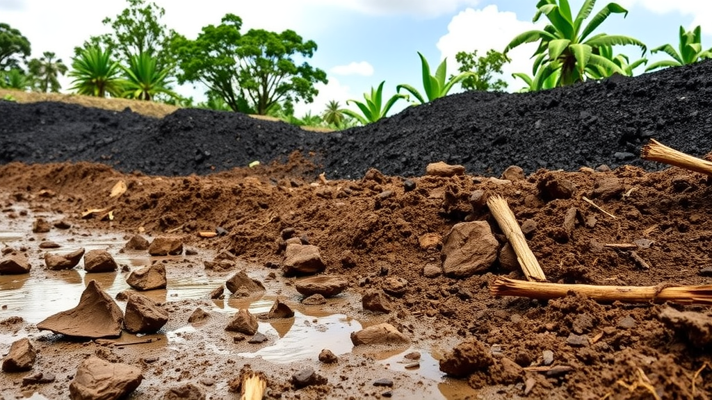
An open-cast coal mine in eastern India is quietly rewriting the chemistry of the soils around it, according to a new study published in the journal Environmental Geochemistry and Health. Researchers from the Indian Institute of Technology (ISM) Dhanbad, SRM University-AP and Amity University Jharkhand sampled soils at increasing distances from the Mahanadi Coalfields Limited operations at Talcher in the state of Odisha, and found a clear spatial gradient of enrichment in a suite of heavy and trace elements. The work is notable not only for what it found but for how it found it: rather than relying on a single contamination metric, the team combined classical pollution indices with multivariate statistics to tease apart natural geological signals from those attributable to mining.
The elements in question are an unusual cast of characters. Instead of the familiar roster of lead, cadmium and arsenic that dominates most contamination studies, the researchers focused on aluminium, molybdenum, rubidium, strontium, titanium, barium, gallium, tin and vanadium. These elements are naturally present in the Earth’s crust, and several of them, including gallium and vanadium, are increasingly economically significant as critical raw materials for electronics and energy technologies. That very fact makes them understudied environmental contaminants: regulatory frameworks and monitoring programmes have historically prioritized the classic toxic metals, leaving elements such as tin and gallium comparatively invisible in soil pollution assessments.
The sampling design was deliberately simple but effective. Soil cores were collected at 20, 50, 300 and 700 metres from the mine, at two depths, from 0 to 15 centimetres and from 15 to 30 centimetres below the surface. This gradient approach allowed the team to test a basic prediction: if mining is the dominant source of contamination, concentrations and contamination indices should generally decline with distance from the pit. That is broadly what the data showed. Contamination factors and geo-accumulation indices, two standard measures that compare measured concentrations against local background values, tended to decrease as distance from the mine increased, indicating a spatial pattern of relative enrichment centred on the mining operations.
Among the nine elements examined, tin and gallium stood out with the highest relative enrichment relative to the selected local background. This finding is intriguing because both elements are associated with coal and coal-bearing strata. Coal deposits are known hosts for gallium, which can accumulate to economically interesting levels in some coal seams and coal ashes, and trace elements in general are partitioned into the mineral and organic fractions of coal during formation. When coal is excavated, crushed, transported and burned or stockpiled, these elements can be redistributed into surrounding soils through dust deposition, runoff from spoil heaps and the weathering of mine waste.
The researchers were careful, however, not to over-interpret their data. Aluminium and titanium, which also showed elevated values at some sites, were treated cautiously because of their predominantly lithogenic origin. Both elements are major constituents of common rock-forming minerals, particularly aluminosilicates and titanium-bearing oxides, so high concentrations in soil may simply reflect the composition of the local parent material rather than any anthropogenic input. Distinguishing between a natural geochemical baseline and mining-induced enrichment is one of the central challenges of environmental geochemistry, and the study’s authors explicitly flagged this ambiguity as a reason for careful interpretation rather than alarm.
To address that challenge, the team turned to multivariate statistics, specifically principal component analysis and hierarchical cluster analysis. These techniques group elements according to how their concentrations co-vary across samples, on the logic that elements released by the same source, or controlled by the same geochemical processes, should behave similarly in space. The analyses identified distinct associations among the trace elements, suggesting a combined influence of natural geological factors and possible mining-related inputs. In other words, the statistical structure of the dataset did not point to a single dominant source, but instead revealed a layered signature in which bedrock geology and mining activity both leave their mark on the soil chemistry.
The human health risk assessment portion of the study followed standard screening-level methodologies, estimating average daily intake, hazard quotients and a cumulative hazard index for three exposure pathways: ingestion of soil particles, dermal contact and inhalation of resuspended dust. The results carried a clear message about who is most at risk. Soil ingestion emerged as the dominant exposure pathway, and children exhibited higher average daily intake, hazard quotient and hazard index values than adults across the board. This is a well-established pattern in exposure science, driven by children’s tendency to ingest soil through hand-to-mouth behaviour, their lower body weight and their higher relative doses per kilogram of body mass, but it takes on particular urgency in communities living close to active mining pits.
The element-by-element breakdown of risk added further nuance. Vanadium contributed the largest share of the non-carcinogenic risk through ingestion and dermal exposure, while aluminium was the major contributor through the inhalation pathway. Vanadium is a transition metal that occurs in fossil fuels and can be released during coal handling and combustion, and chronic exposure has been associated with respiratory and other health effects. Aluminium’s prominence in the inhalation route reflects both its abundance in crustal dust and the way inhalation risk calculations weight inhaled particle masses. It is worth emphasizing that these are screening-level estimates designed to flag potential concerns and guide monitoring priorities, not measurements of actual health outcomes in the surrounding population.
What makes the study a useful template is its methodological integration. Pollution indices such as the contamination factor and geo-accumulation index are quick, transparent tools for ranking contamination at individual sites, but they say little about sources. Multivariate statistics can suggest source groupings but depend on the quality and spatial coverage of the underlying data. By applying both approaches to the same dataset, and then layering a health risk assessment on top, the researchers produced a picture that is more robust than any single method could deliver. The gradient design, with sampling points stretching from the mine edge out to 700 metres, adds a quasi-experimental dimension that many contamination surveys lack.
The authors position the work as a baseline study for the Talcher coalfield, one of India’s major coal-producing regions and part of the industrial Talcher-Angul belt, where coal mining, thermal power and heavy industry coexist with agricultural land and growing populations. Baselines of this kind matter because they establish the reference point against which future change can be measured, and because they identify which elements, which pathways and which populations deserve closer attention. The study’s conclusions point toward two priorities for follow-up work: sustained environmental monitoring of the elements identified as most enriched, particularly tin, gallium and vanadium, and detailed source apportionment studies capable of quantitatively separating mining-derived inputs from the natural geological background. As demand for critical minerals grows and mining expands into new regions, understanding how even the less glamorous trace elements move through soils, and into the people who live on them, is becoming an increasingly urgent task for environmental science.
Subject of Research: Heavy and trace element contamination and human health risk assessment in soils around a tropical open-cast coal mine in Talcher, Odisha, India
Article Title: Integrating pollution indices and multivariate statistics to assess heavy and trace element contamination and human health risks in a tropical coal mining region
Article References: Singh, S., Raj, D., Kumari, P., & Maiti, S. K. (2026). Integrating pollution indices and multivariate statistics to assess heavy and trace element contamination and human health risks in a tropical coal mining region. Environmental Geochemistry and Health, 48(15), Article 605. https://doi.org/10.1007/s10653-026-03503-2
Image Credits: AI Generated
DOI: 10.1007/s10653-026-03503-2
Keywords: heavy and trace elements, coal mining, soil contamination, pollution indices, geo-accumulation index, multivariate statistics, principal component analysis, vanadium, gallium, human health risk assessment, Talcher coalfield, Odisha
Cite Scienmag News
Sloane Callahan. (September 24, 2026). Coal Mining Leaves a Trace-Element Fingerprint in Tropical Soils, Study Finds. Scienmag. https://scienmag.com/coal-mining-leaves-a-trace-element-fingerprint-in-tropical-soils-study-finds/
Sloane Callahan. "Coal Mining Leaves a Trace-Element Fingerprint in Tropical Soils, Study Finds." Scienmag, 24 September 2026, https://scienmag.com/coal-mining-leaves-a-trace-element-fingerprint-in-tropical-soils-study-finds/. Accessed 5 October 2026.
Sloane Callahan. "Coal Mining Leaves a Trace-Element Fingerprint in Tropical Soils, Study Finds." Scienmag. September 24, 2026. https://scienmag.com/coal-mining-leaves-a-trace-element-fingerprint-in-tropical-soils-study-finds/


