


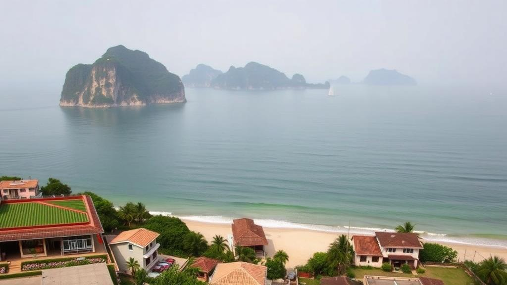
Vietnam’s Thu Bon Estuary, the watery gateway to the UNESCO-listed ancient town of Hoi An, has become the testing ground for a new way of measuring what nature gives us and what we take away. Researchers writing in the journal One Ecosystem have built a Bayesian Belief Network, a probabilistic model rooted in artificial intelligence, to track how three decades of urbanisation and tourism have reshaped the flow of ecosystem services in one of Southeast Asia’s most visited coastal regions. Their findings reveal a striking imbalance: the cultural value of the estuary keeps climbing, while the natural services that protect people from storms and floods quietly erode.
Estuaries are among the most productive and most crowded environments on Earth. Semi-enclosed water bodies where rivers meet the sea, they nurture diverse habitats and support roughly 60 percent of the global population, including 22 of the world’s 32 largest cities. The total economic value of estuarine ecosystems has been estimated at more than six trillion US dollars. Yet they are also among the most threatened landscapes on the planet, battered by climate change, rapid development and disaster risk. Half of the world’s salt marshes, 35 percent of its mangroves and 29 percent of its seagrass beds have already been lost or degraded, and the decline has cut nature’s capacity for self-recovery by a third.
The research team, working across the estuaries of Quang Ninh and Quang Nam Provinces, chose the Thu Bon Estuary near Hoi An for detailed modelling. The area is a study in contradictions. In 2019 it welcomed more than 7.8 million visitors and earned over 14,570 billion Vietnamese dong from tourism, while its mangrove coconut forests shelter aquatic species and anchor a UNESCO World Cultural Heritage Site and a biosphere reserve. At the same time, more than 112 hectares of wetland ecosystems vanished from the biosphere reserve between 2004 and 2016, including mangroves, seagrass beds and coral reefs, as land was converted for infrastructure and tourism.
The methodological core of the study is the Bayesian Belief Network, or BBN, a modelling framework built on Bayes’ theorem that represents cause-and-effect relationships through two components: directed acyclic graphs, which map the independence between variables, and conditional probability tables, which quantify the strength of each link. In this application, the network’s root nodes represent landscape type and land use or land cover, while seventeen intermediate nodes correspond to individual ecosystem services drawn from the Common International Classification of Ecosystem Services, spanning provisioning, regulating and cultural categories. Three child nodes aggregate the final values for each service group.
Building such a network in a data-scarce environment demanded creative synthesis. The researchers first classified terrestrial and wetland ecosystems using thirty years of satellite imagery, including ALOS and Worldview-2 data processed with a random forest algorithm at an accuracy of 78 to 85 percent. They then distilled expert judgement through a Delphi process, in which twenty-one specialists from universities and research institutes iteratively scored the capacity of sixteen land-use types to deliver each of the seventeen services on a scale from 0 to 100, refining their answers across rounds until consensus emerged. Scores were averaged when disagreements fell between 20 and 40 points, and further consultation was triggered when gaps exceeded 40.
A key innovation lies in how the team wired the network together. Rather than guessing the relationships between services, they ran the expert matrix through generalised linear and structural equation models in the R programming environment. The structural equation model proved decisive: where many BBN applications leave the connections between variables ambiguous, the SEM analysis identified which correlations were strong enough to keep, converting them into one-way links between parent and child nodes. The finished network was implemented in Netica software, and total service values were calculated by multiplying each land-use type’s provision potential by its mapped area, then summing across the landscape.
The statistical analysis exposed a fundamental tension in how estuarine ecosystems function. Cultural and regulating services clustered into groups with strong positive interdependence, with correlation coefficients between 0.7 and 0.9, meaning they tend to rise and fall together. Provisioning services behaved differently, showing negative correlations with nearly everything else. Fish and seafood provision correlated at minus 0.8 to minus 0.9 with timber and even more negatively with cultural services, a quantitative confirmation of the classic trade-off: intensify extraction and the other benefits of nature decline. Mineral extraction stood out as particularly damaging, correlating at minus 0.7 with air quality regulation, as riverbed sand mining triggers landslides, air pollution and the salinisation of coastal groundwater.
Running the model across the period from 1991 to 2020 produced a nuanced picture. Total ecosystem service value drifted upward from 627 to 670 points, but the composition shifted in worrying ways. Cultural services, the highest-scoring group, grew by 4.4 percent, led by regional identity and tourism values that surged after Hoi An’s heritage designation in 1999, when the town drew fewer than 100,000 visitors; by 2019 it hosted more than 7.6 million. Regulating services moved in the opposite direction, falling 4.36 percent from 234 to 222 points, with groundwater recharge the strongest performer and air quality regulation the weakest. Among the six landscape types identified, the alluvial and river-swamp landscapes delivered the highest values, but both trended downward as mangrove coconut forests gave way to aquaculture ponds that supply seafood yet offer almost no regulating or cultural benefits.
The model’s real power emerged in scenario testing. Drawing on Hoi An’s 2030 planning targets, which envision a 40 percent urbanisation rate, the researchers modelled two futures. Under continued urbanisation and tourism expansion, with roughly 400 hectares of new housing carved from farmland and forest and more than 250 hectares of forest lost, cultural services climbed while regulating services fell faster, raising the risk of flooding in low-lying districts where storm-driven water levels can reach 150 to 200 centimetres. Under a preservation scenario that expands protective forests by 20 percent and stabilises urban land, regulating services recovered visibly, a gradual environmental restoration that contrasts with the rapid degradation of the development pathway. Both scenarios showed declining provisioning services, but the decline was milder where nature was conserved.
The stakes are far from abstract. Coastal erosion at Cua Dai has been advancing at 3 to 10 metres per year, sometimes exceeding 10 metres, while floods in the rainy season can strip 40 to 50 metres of land in a single year. Storm Nari destroyed more than 80,000 hectares of fruit and forestry trees in 2013, and more than 3,000 houses in Tam Ky endured deep flooding at the end of 2021. The authors argue that policy-makers should prioritise expanding protective forest ecosystems along the Thu Bon coastline to buffer inundation, improve air quality and control erosion. More broadly, they contend that the BBN approach, which combines expert knowledge, geographic information systems and statistical modelling, offers a transparent and transferable tool for managers anywhere who must weigh the immediate rewards of development against the slow, silent depreciation of the natural systems that keep coastal communities safe.
Subject of Research: Bayesian Belief Network assessment of ecosystem services and socio-economic development in Vietnam's threatened estuarine regions
Article Title: A Bayesian Belief Network for assessing ecosystem services and socio-economic development in threatened estuarine regions
Article References: Nguyen, T. D. L., Tran, T., Dang, K. B., Do, T. T. T., Dong, H., Pham Thi Phuong, N., Hoang Thi, T., & Giang, T. L. (2024). A Bayesian Belief Network for assessing ecosystem services and socio-economic development in threatened estuarine regions. One Ecosystem, 9, Article e124989. https://doi.org/10.3897/oneeco.9.e124989
Image Credits: AI Generated
Keywords: Bayesian Belief Network, ecosystem services, estuaries, Vietnam, Hoi An, urbanisation, tourism, mangroves, coastal erosion, land use change, structural equation modelling, sustainability
Cite Scienmag News
Sloane Callahan. (October 19, 2026). Bayesian Network Weighs Tourism Boom Against Vanishing Coastal Defences in Vietnam. Scienmag. https://scienmag.com/bayesian-network-weighs-tourism-boom-against-vanishing-coastal-defences-in-vietnam/
Sloane Callahan. "Bayesian Network Weighs Tourism Boom Against Vanishing Coastal Defences in Vietnam." Scienmag, 19 October 2026, https://scienmag.com/bayesian-network-weighs-tourism-boom-against-vanishing-coastal-defences-in-vietnam/. Accessed 19 October 2026.
Sloane Callahan. "Bayesian Network Weighs Tourism Boom Against Vanishing Coastal Defences in Vietnam." Scienmag. October 19, 2026. https://scienmag.com/bayesian-network-weighs-tourism-boom-against-vanishing-coastal-defences-in-vietnam/


