The emergence of advanced remote sensing technologies has revolutionized our approach to environmental monitoring and land management. Among the latest innovations is the KERN-HIC model, which utilizes hyperspectral remote sensing to address critical issues in land cover classification and land use monitoring.
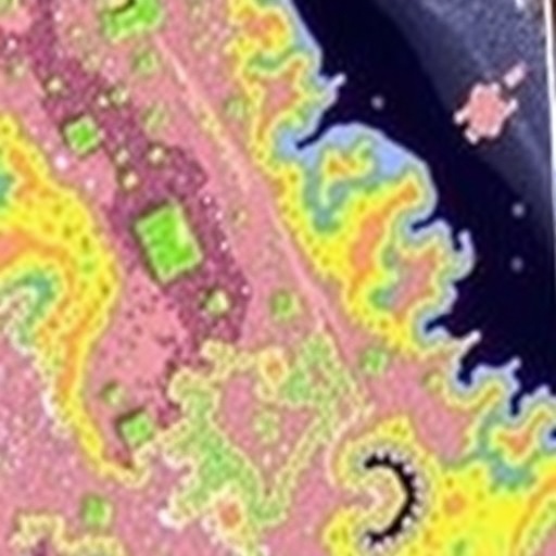
The KERN-HIC model is designed to capitalize on the vast spectral range provided by hyperspectral imaging. Unlike traditional imaging that captures data in just a few broad spectral bands, hyperspectral sensors collect data in numerous finely spaced wavelengths. This allows for a more nuanced analysis of land surfaces, enabling researchers to identify and differentiate between various materials and conditions present in the environment.
Hyperspectral remote sensing is particularly effective in identifying vegetation types, soil compositions, and water characteristics. The KERN-HIC model employs sophisticated algorithms to process the extensive data collected by hyperspectral sensors, making it a powerful tool for environmental scientists. By translating complex spectral signatures into actionable insights, the model can effectively classify land cover types and monitor changes in land use over time.
One of the standout features of KERN-HIC is its application in precision agriculture. With the global increase in food demand, efficient land use is paramount. The model assists farmers in optimizing crop selection based on soil characteristics and moisture levels detected through hyperspectral imaging. By understanding their land’s specific needs, farmers can improve yield while minimizing resource waste, which is vital for sustainable agricultural practices.
Moreover, KERN-HIC holds great potential for urban planning and development. As cities expand, the monitoring of land use changes becomes critical. The model’s capacity to identify specific land cover types aids urban planners in making informed decisions regarding infrastructure development, green spaces, and resource allocation. By leveraging hyperspectral data, urban environments can grow sustainably whilst maintaining a balance with nature.
Biodiversity conservation is another significant area where the KERN-HIC model can make a substantial impact. The precise classification capabilities mean that researchers can identify various habitats and monitor their health. Detecting changes in land cover can signal potential threats to wildlife and ecosystems, allowing for timely interventions. This proactive approach could be crucial in managing and preserving biodiversity-rich areas that are consistently at risk from human activities.
In climate change research, the KERN-HIC model offers valuable contributions. With hyperspectral data, scientists can analyze land cover change patterns that relate to climate variability and anthropogenic factors. By mapping these changes, researchers can identify areas most vulnerable to climate-related impacts, thereby informing mitigation strategies that are both efficient and tailored to specific ecosystems.
The application of KERN-HIC is not limited to terrestrial environments. Its capabilities extend to aquatic ecosystems as well, enabling researchers to assess water quality parameters that impact aquatic life. By analyzing spectral data from water surfaces, scientists can detect pollutants, algal blooms, and other factors that threaten freshwater and marine ecosystems. This dual capability enhances our understanding of ecological health across various habitats.
However, the implementation of KERN-HIC does not come without its challenges. The complexity of data processing and the need for high computational power are significant considerations. Researchers must navigate these hurdles by investing in advanced computing resources and seeking collaborations to share expertise. Additionally, there is a continuous need for validation of the model’s predictions against ground truth data to ensure that analyses remain accurate and reliable.
Despite these challenges, the promise held by the KERN-HIC model is undeniable. Its potential applications span across diverse fields, including environmental conservation, agricultural optimization, and urban development. As the model continues to evolve, it offers an unparalleled opportunity for researchers and practitioners to enhance their understanding of land dynamics and make informed decisions based on empirical data.
The KERN-HIC model is also positioned to play a vital role in public awareness and education regarding environmental issues. The insights gleaned from hyperspectral imaging can be translated into accessible formats for non-experts, helping to raise awareness about the importance of land cover and its implications for climate and biodiversity. As communities engage with these findings, the model can catalyze a broader conversation about sustainable practices.
To sum up, the KERN-HIC model represents a significant leap forward in remote sensing methodologies. By harnessing the power of hyperspectral imaging, researchers are not only redefining how we monitor and manage land use but also paving the way for innovative solutions to some of the most pressing environmental issues of our time. As we move forward, the need for advanced monitoring systems like KERN-HIC becomes increasingly evident in our efforts to balance human needs with ecological integrity.
In conclusion, the landscape of environmental monitoring is evolving, and with it comes the necessity for sophisticated tools such as KERN-HIC. This model embodies a comprehensive approach to land cover classification and land use monitoring, driven by the capabilities of hyperspectral imaging. It is clear that the future of environmental science relies heavily on such advancements, as they enhance our capacity to understand and respond to the complexities of our planet’s ecosystems.
Subject of Research: Hyperspectral remote sensing model for land cover classification and land use monitoring
Article Title: KERN-HIC: a hyperspectral remote sensing model for land cover classification and land use monitoring
Article References: R., G.B., S., G.T., S., A. et al. KERN-HIC: a hyperspectral remote sensing model for land cover classification and land use monitoring. Environ Monit Assess 197, 1275 (2025). https://doi.org/10.1007/s10661-025-14742-8
Image Credits: AI Generated
DOI: 10.1007/s10661-025-14742-8
Keywords: hyperspectral imaging, land cover classification, environmental monitoring, KERN-HIC, climate change, biodiversity conservation, precision agriculture, urban planning.
